Wäldletobel-Trail | Klösterle am Arlberg
Thematic trail
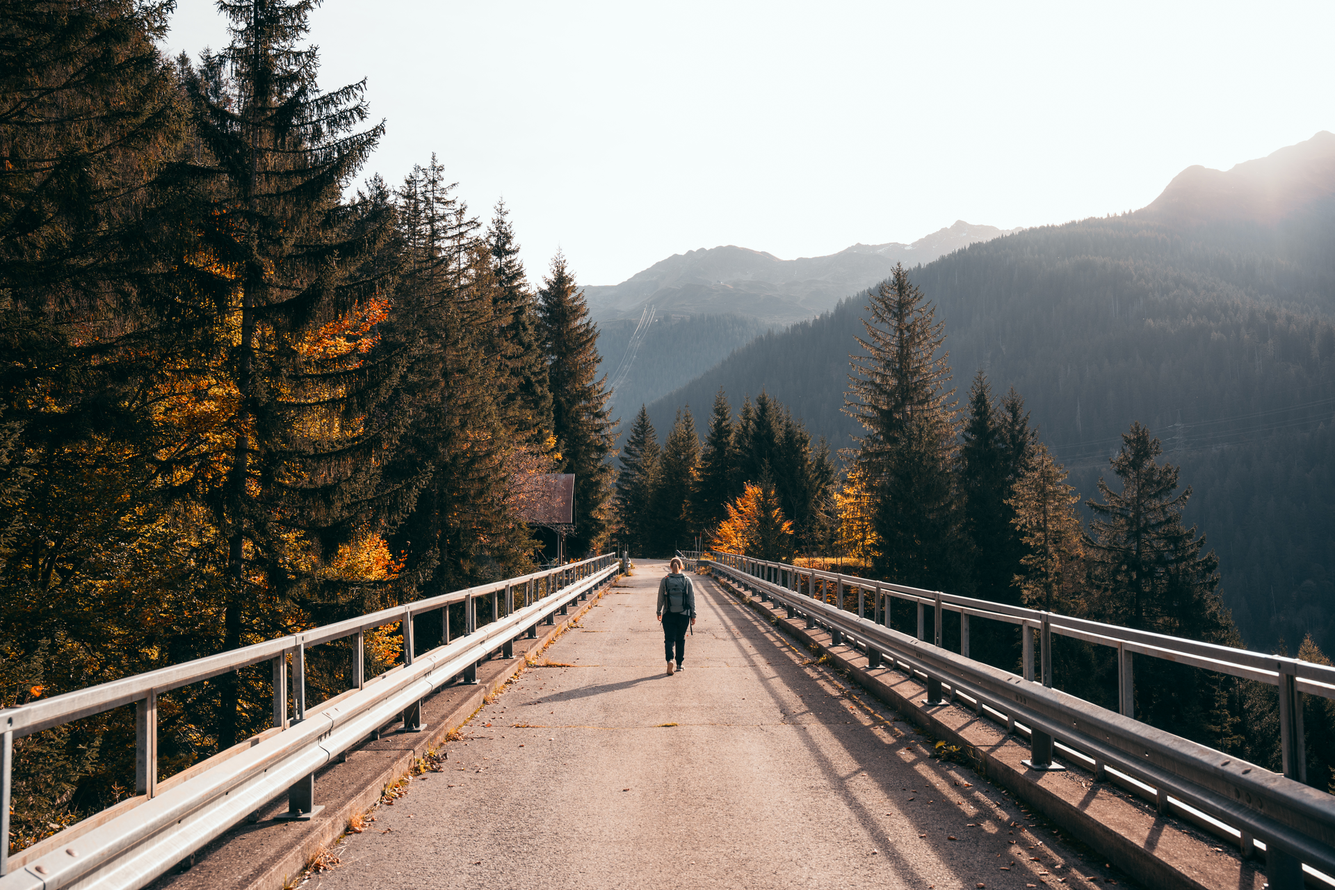
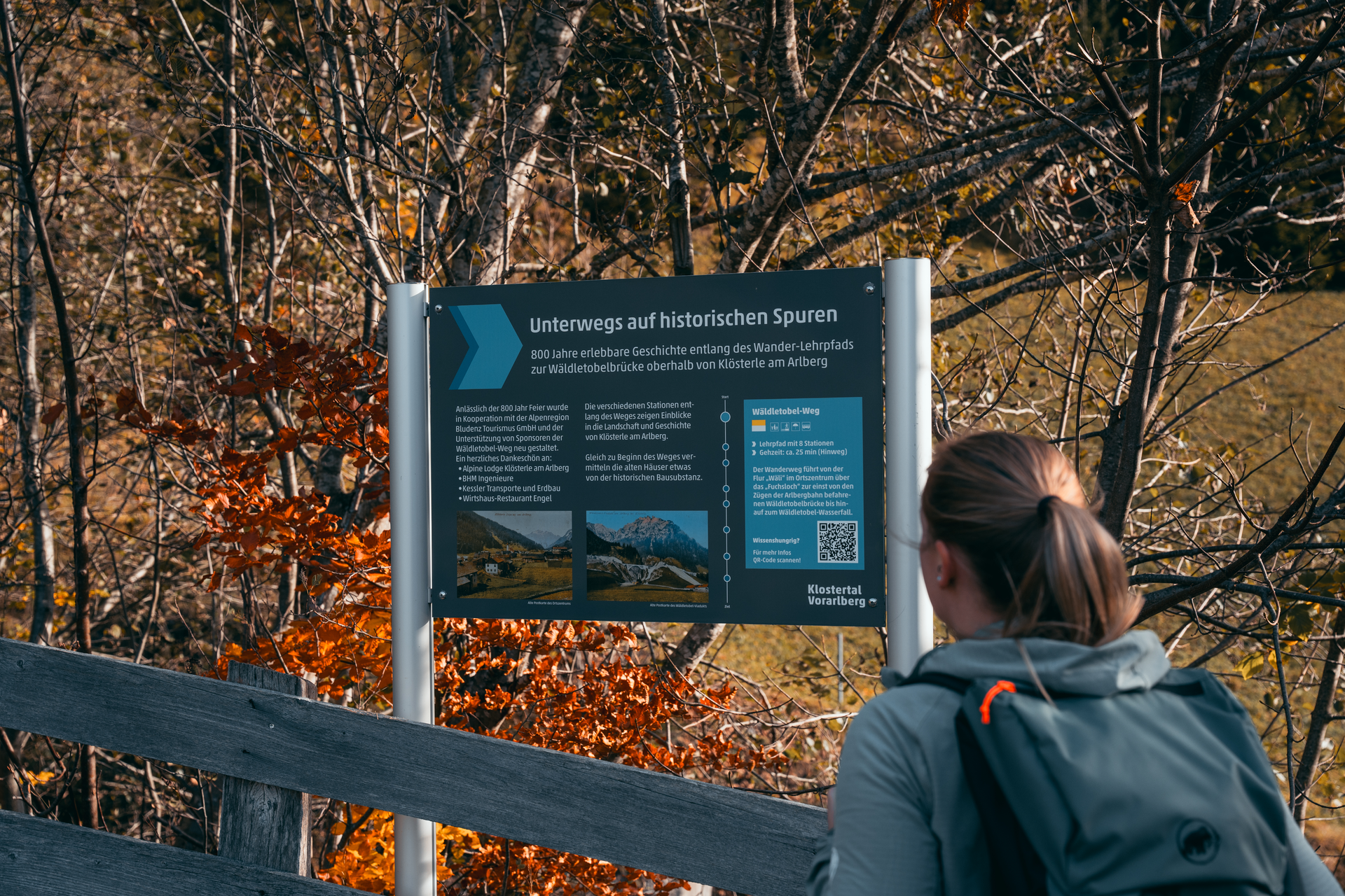
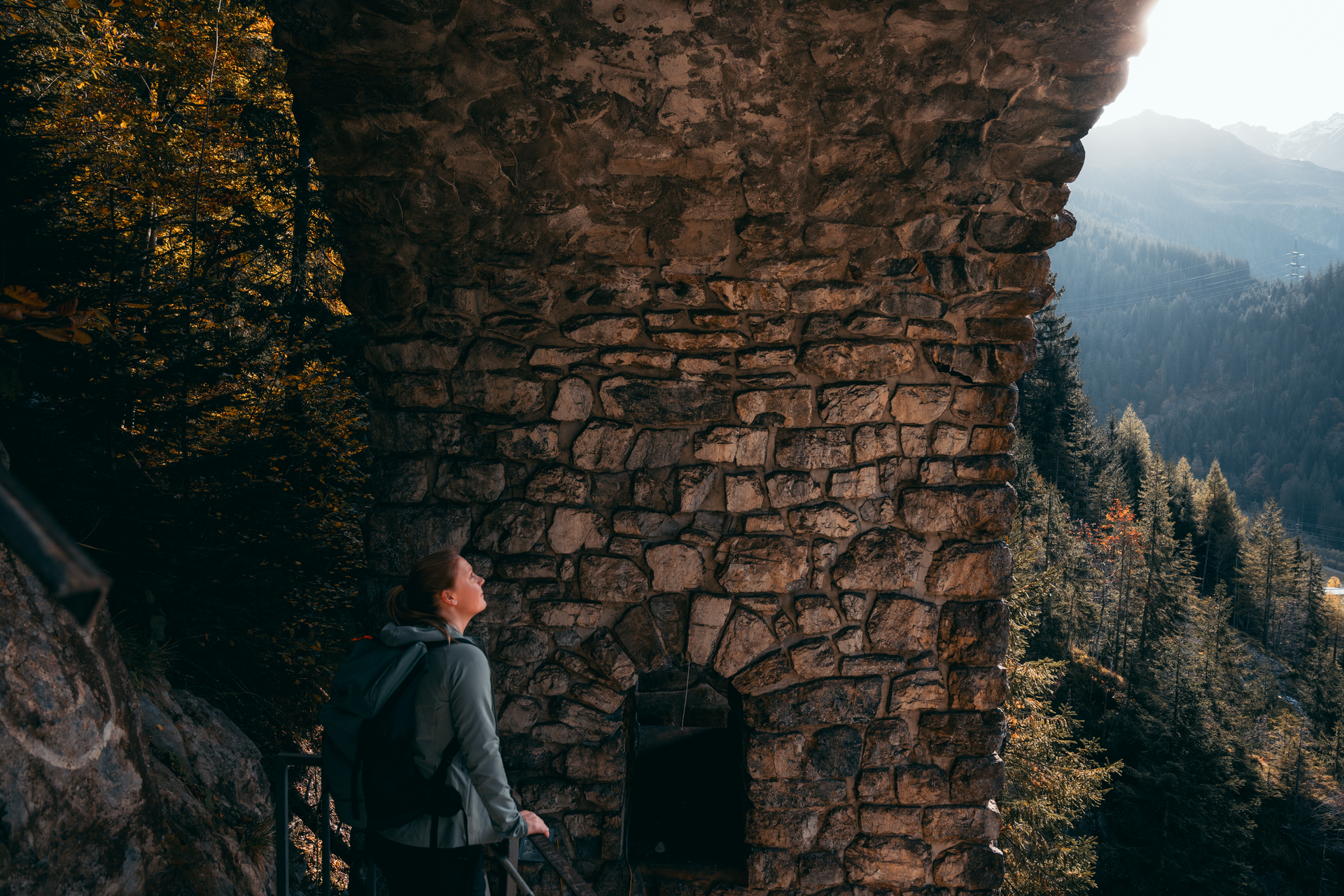
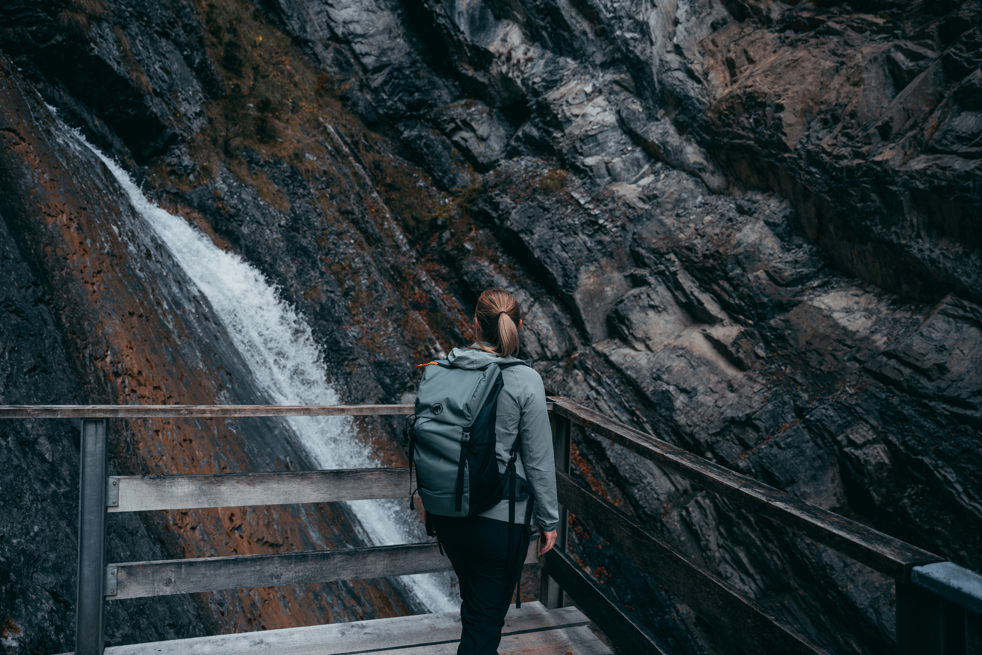
The Wädletobel trail offers interesting facts and 800 years of history that can be experienced above Klösterle am Arlberg. The centrepiece of this educational trail is the "Wäldletobelschlucht" gorge, which was made accessible in 1997 via a footbridge.