Wäldletobel: Wäldletobel Gorge
The torrent, named after a small forest, is best known for the viaduct over which the Arlberg Railway once ran.
Named after a small forest
The valley’s geology is characterized by a striking tectonic boundary that runs from the east, south of the valley floor, to Dalaas, where it splits. On the northern side of the valley rise the imposing limestone peaks of the Northern Limestone Alps, while to the south, the crystalline rock of the Central Alps (Silvretta Massif) shapes the landscape of the Verwall Group. Several longitudinal valleys formed along this geological boundary, of which the Klostertal lies in the far west.
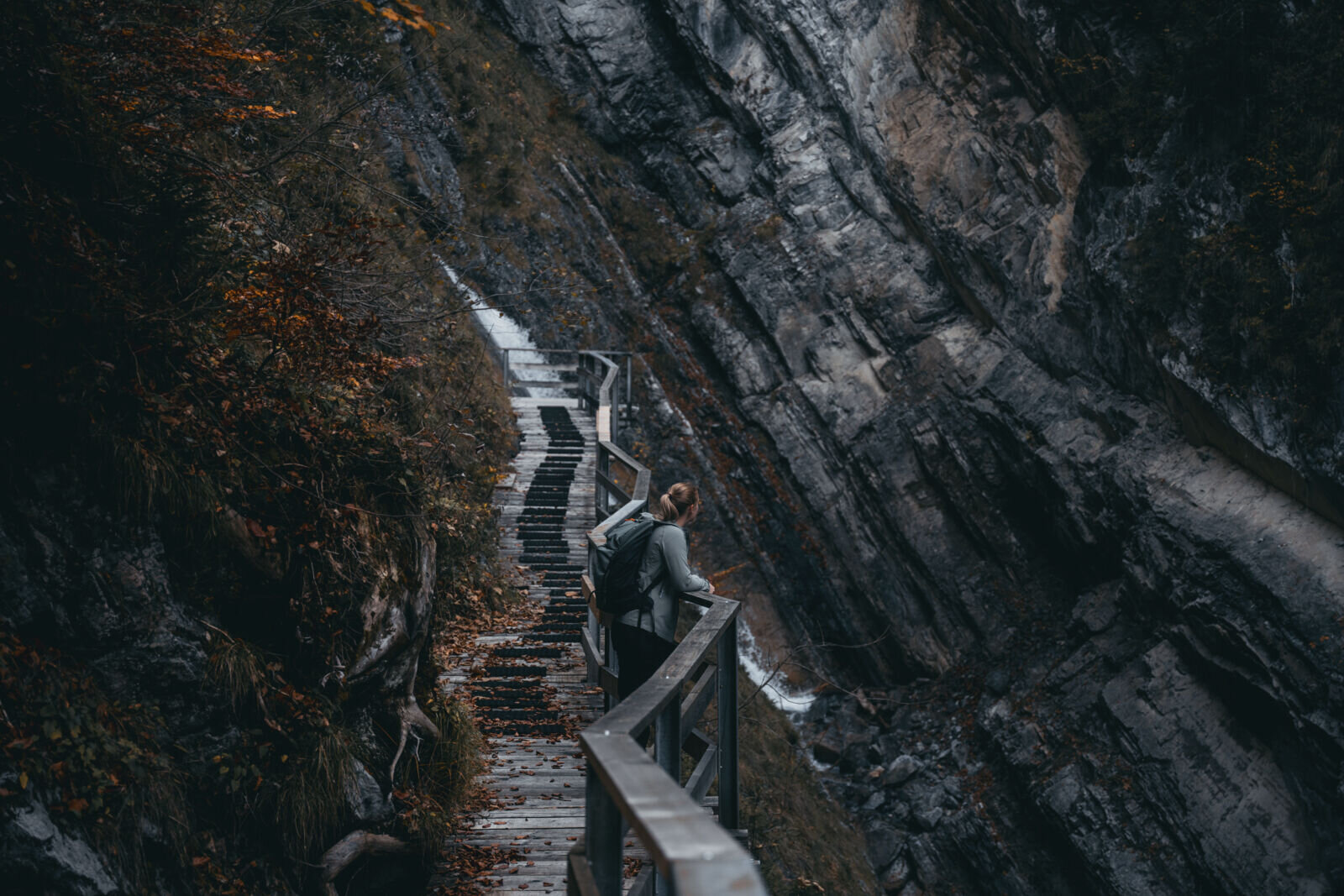
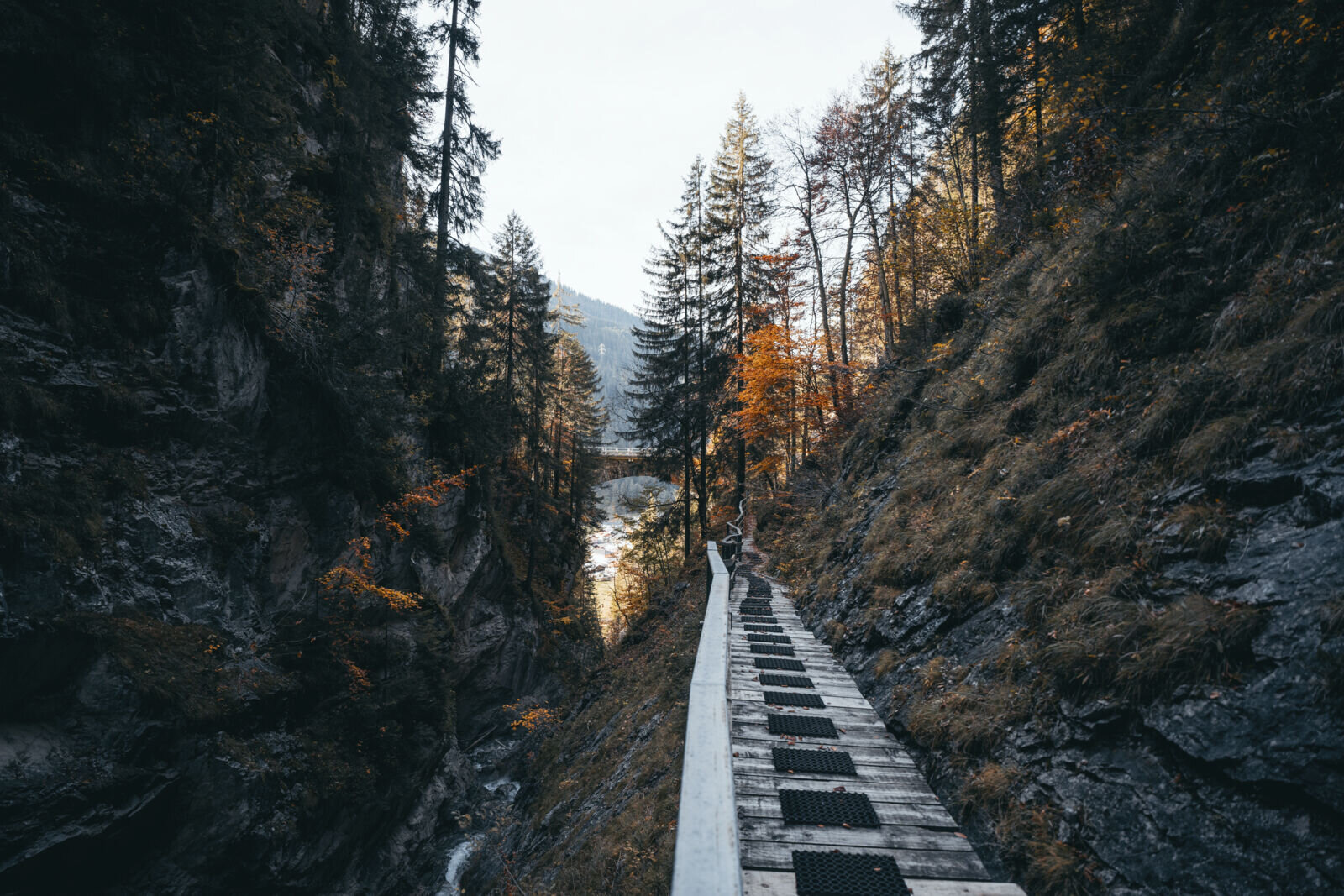
The Alfenz, which originates in Stuben am Arlberg from the confluence of the Rauzbach and Stubenbach, flows through the Klostertal until it empties into the Ill between Bludenz and Lorüns. Its numerous tributaries along the valley flanks have a steep gradient; in some places, striking waterfalls have formed. The Wäldletobel with its gorge is an impressive example of this. In addition, numerous mountain lakes characterize the alpine landscape, of which the Spullersee and the Formarinsee are the best known and largest.
The torrent, named after a small forest, is best known for the viaduct over which the Arlberg Railway once ran. The gorge can be walked through today. Following mudslides, the ravine can turn into a raging torrent and cause massive destruction in a short time. This last occurred in 2010.