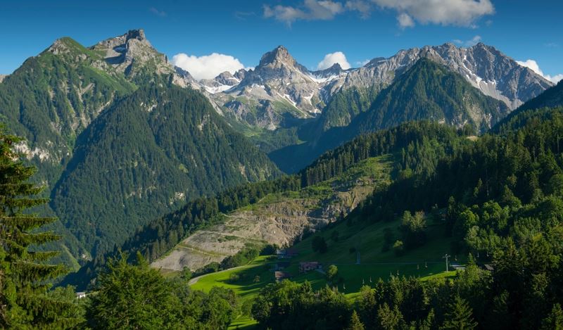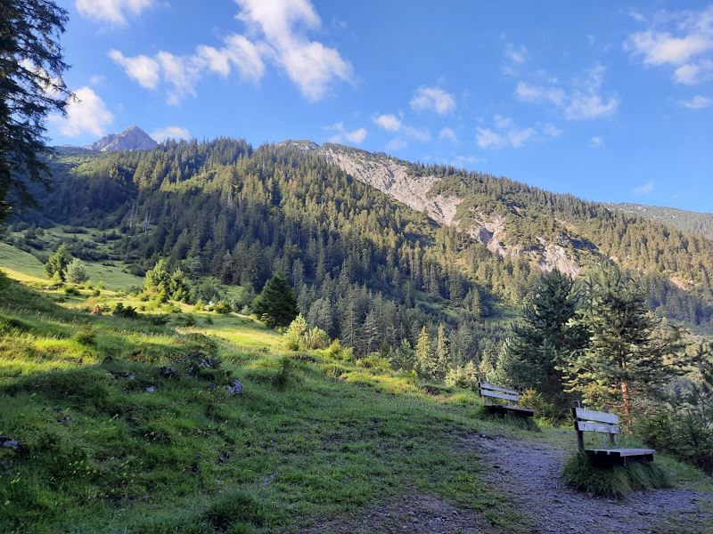
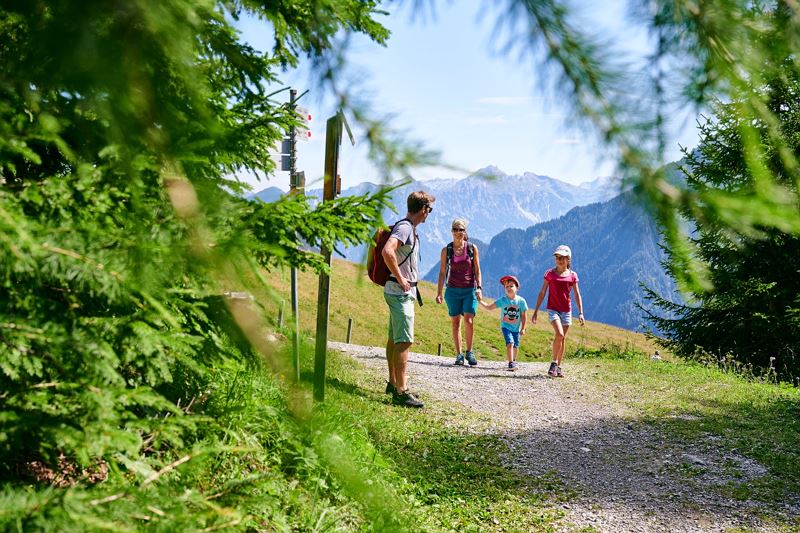
Tierwelten-Weg | Brandnertal
Length4,3 km Elevation gain70 m LevelEasy Duration1:30 h
Learn about and discover the animal world of the Brandnertal in a playful way at interactive knowledge stations!
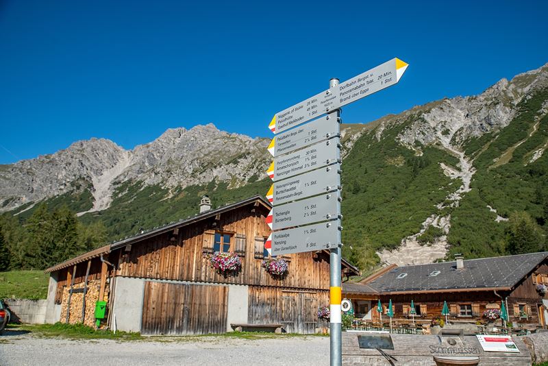
Palüdbahn mountain station or Dorfbahn mountain station, Brand
Palüdbahn mountain station or Dorfbahn mountain station, Brand