Tour description
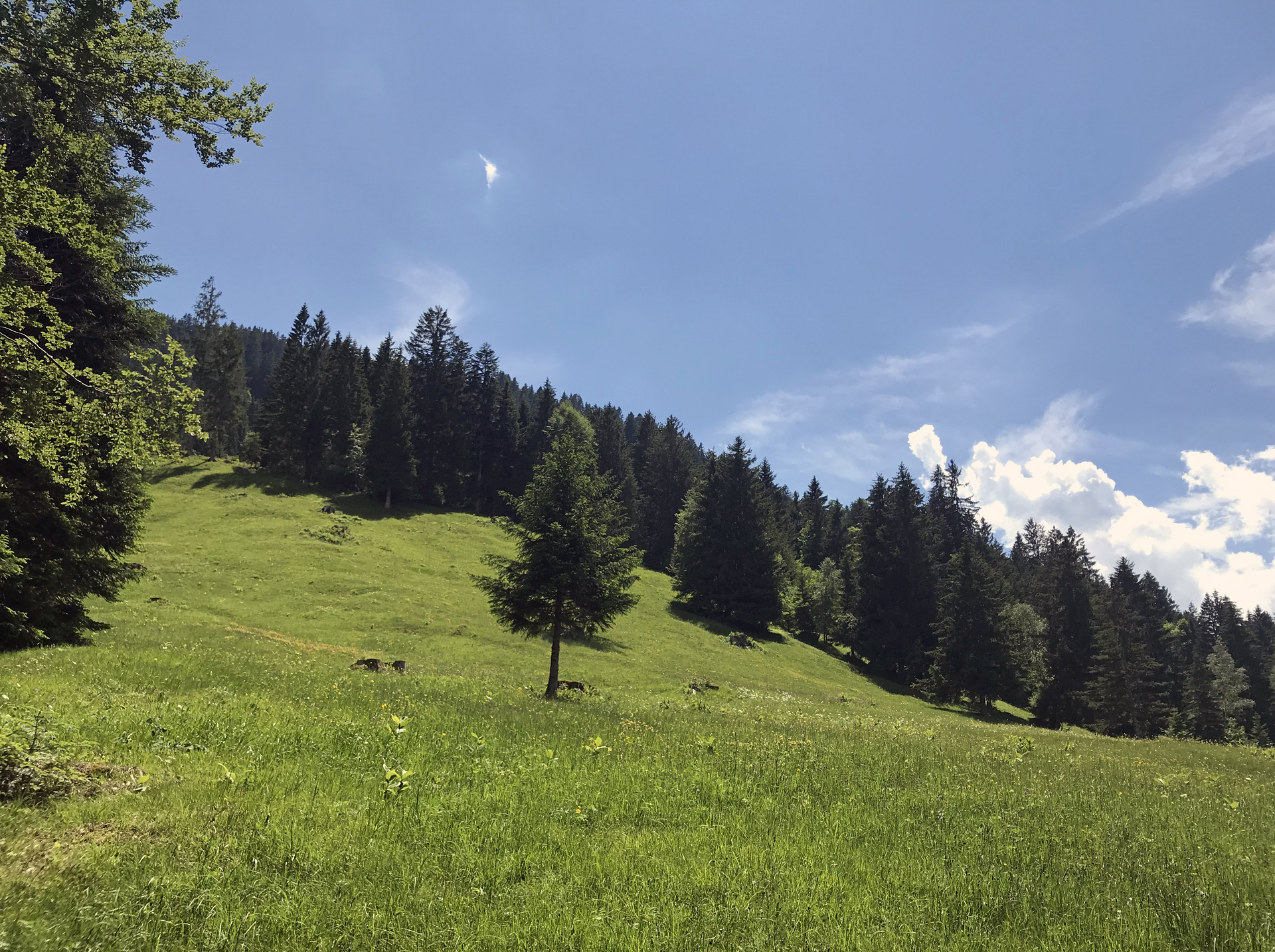
From the Raggal church, the path between house no. 68b and the church wall leads slightly uphill past the vicarage to the Rapiert estate road. There you cross the road and walk along the Manatöbele estate road to the "Lärchenhof". From here you reach the meadow path, which leads through a small piece of forest past hay barns, litter and meagre meadows. From time to time, the path can be a little damp, so we recommend good shoes.
At the end of the meadow path, the trail continues on the Ludescherberg goods path, slightly uphill, to the fork in the path. There, take the upper path that leads to the Grüneck parcel. A magnificent view over the Walgau region to the Swiss mountains awaits you. At house no. 80 you reach the Labomweg, which again leads past numerous hay barns, rough pastures and litter meadows.
The hiking trail ends at the Rapiert parcel (highest farm in Raggal). Now the trail descends on the Rapiert farm track in several bends to the starting point.