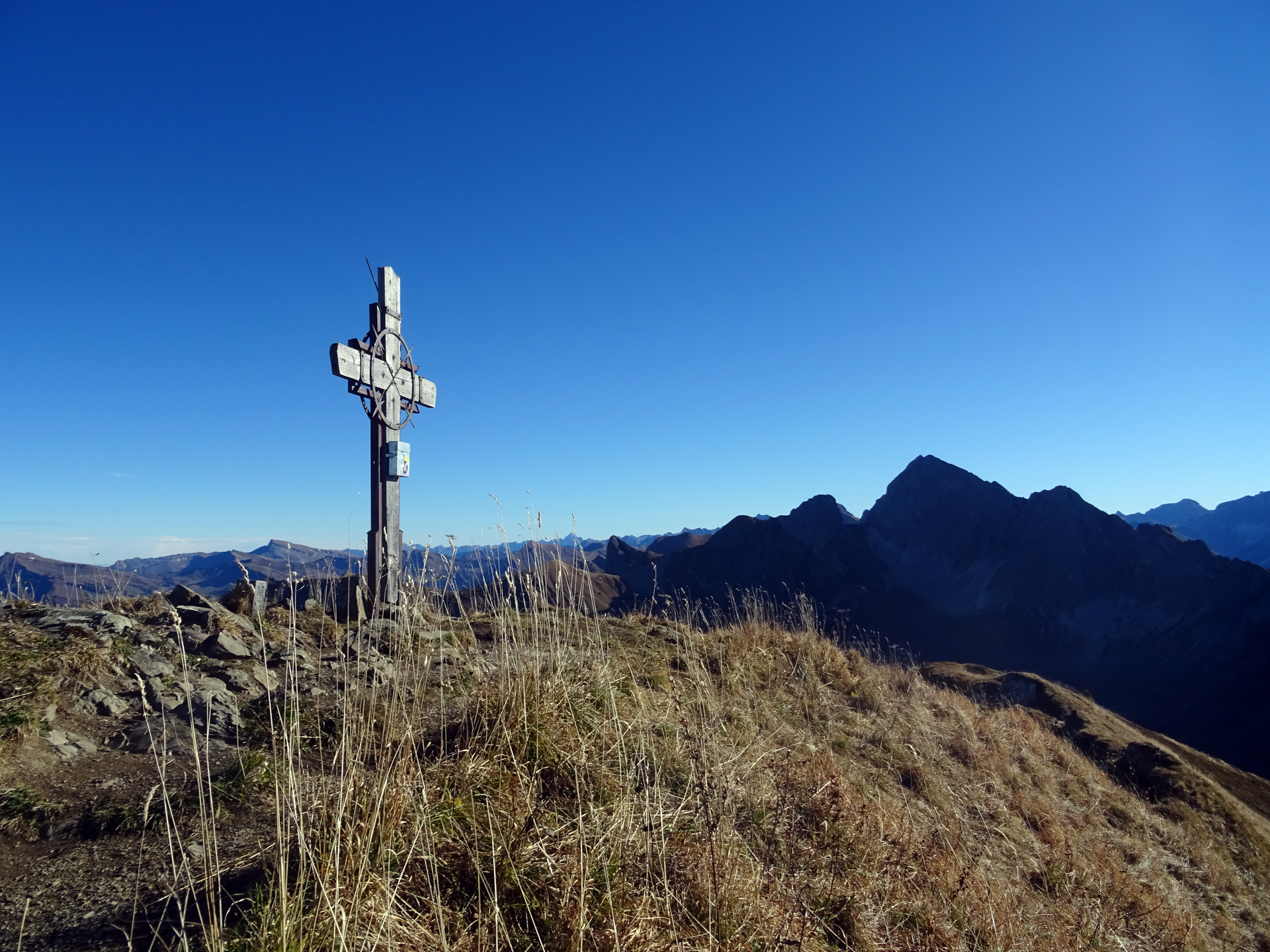
Zafernhorn, 2.107 m | Fontanella-Faschina

Distance9,5 km

Elevation gain751 m

Negative altitude615 m

LevelModerate

Duration4:00 h

Distance9,5 km

Elevation gain751 m

LevelModerate

Duration4:00 h

A short moment

Loading map...

Zafernhorn, 2.107 m | Fontanella-Faschina

From the car park in Fontanella-Faschina an agricultural road leads to the Bartholomäus Alpe. Follow now the trail “Zafernrunde” for the Zafern round trip. At the grätle you pass underneath the Zafernhorn direction Hubertuskapelle (Hubertus capel). Arriving back at the agricultural road, the trail branches away to the peak of the Zafernhorn – you can optionally climb the top, the view from 2.107 m on the surrounding peaks and valleys is breathtaking. If you continue the round trip, follow the footpath from the Hubertuskapelle and continue over a gravel road to the the Zafern Maisäß (huts) and back to Fontanella-Faschina.

Equipment

Sturdy shoes, warm clothing, rain and sun protection, filled water bottle and snack as well as hiking poles are recommended. Mobile phone in case of emergency.

Route description

Start: Car park Faschina, Fontanella

End: Car park Faschina, Fontanella

Car park in Faschina - goods road - Bartholomäus Alpe - hiking trail - Grätle - Hubertus chapel - summit of the Zafernhorn - Hubertus chapel - Zafern Maisäß - footpath/gravel road - car park in Faschina

Properties

  • Scenic
  • Round trip

Emergency services

140 Alpine Emergencies throughout Austria

144 Alpine Emergencies Vorarlberg

112 Euro emergency call (works with any mobile phone/network)