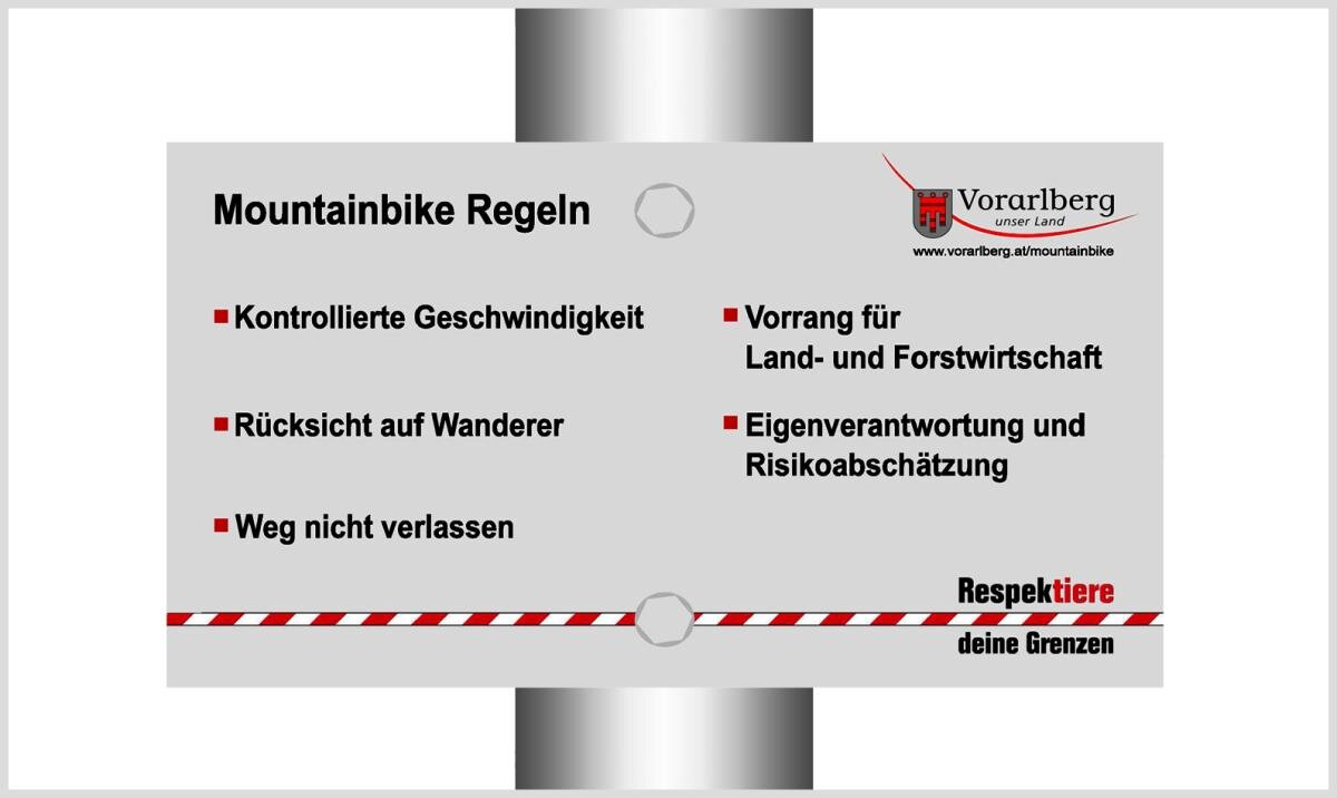
Klostertal Bike Trail ​|​ Klostertal

Easy
open
Refreshments
Family-friendly
There and back
Bicycle rides · Bludenz

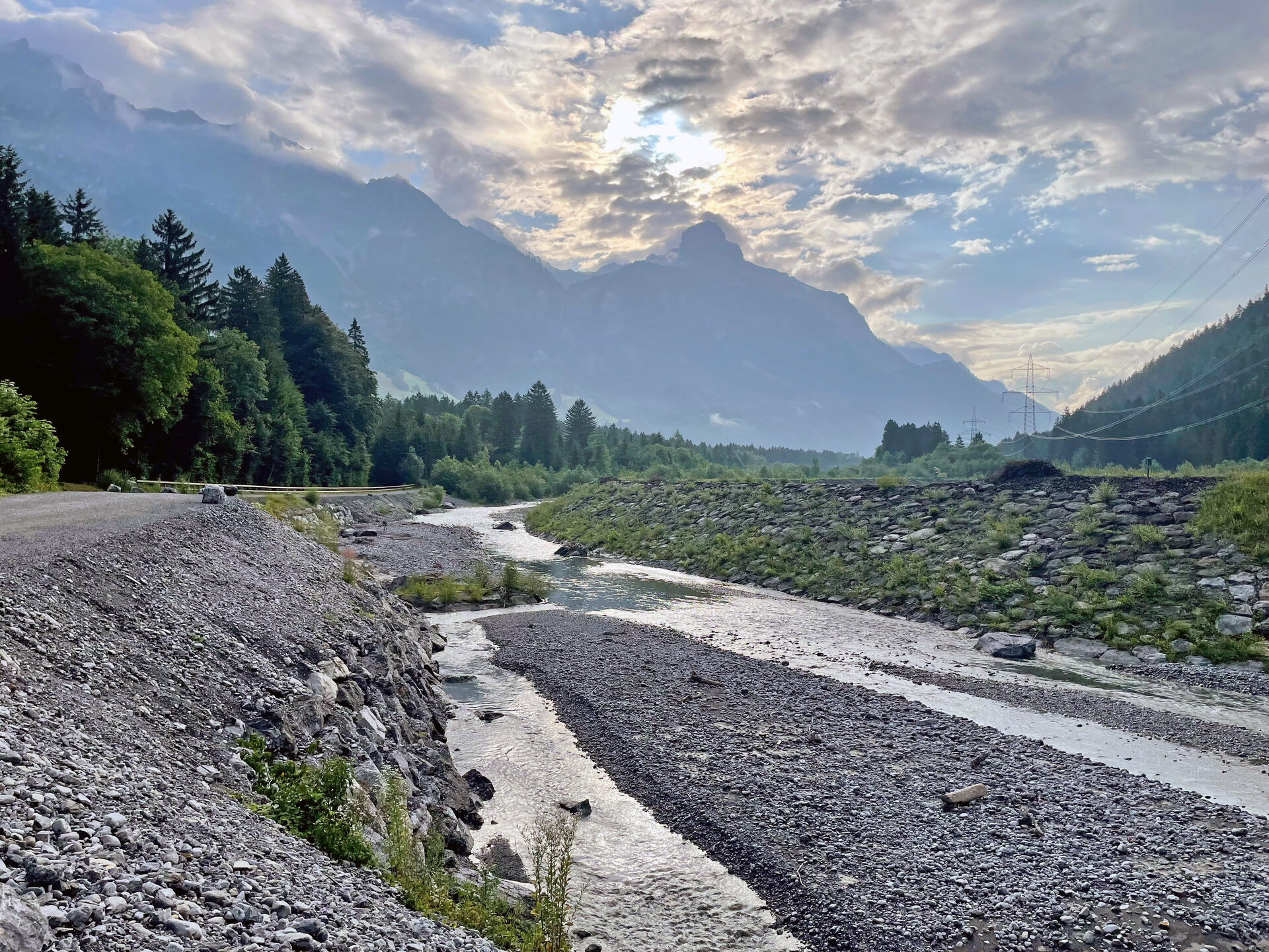
Beautiful bike path through wooded areas and across meadows and partly on the road from Bludenz to Klösterle and back again.

03:45 h duration
47,4 km Length
1074 m Highest point
560 m Lowest point
515 m Ascent
515 m Descent
Condition
Difficulty
Result
Landscape
Public transport
Parking

Parking areas in Bludenz

Directions

Bludenz - cycle path along the Ill - Brunnenfeld - Bludenz-Montafon traffic junction - turn off onto Klostertal cycle path - Stallehr - Außerbraz - Innerbraz - Dalaas - Dorfstraße - gravel road at the end of the village - Wald am Arlberg - Sonnenkopf cable car valley station in Wald am Arlberg - Klösterle am Arlberg - return

Safety instructions

EMERGENCY CALL

140 Alpine emergencies throughout Austria

144 Alpine Emergencies Vorarlberg

112 Euro emergency call (works with any mobile phone/network)

www.alpenregion.at/sicherheitstipps-mountainbike

Equipment

Mountain bike, helmet, rain or sun protection, small snacks and enough water to drink. Mobile phone in case of emergency.

Tips

Discover the Klostertal valley this way! Along the bike path there are many great points (waterfalls, museums, inns etc.) for which it is worth stopping.

Destination

Klösterle am Arlberg

Starting Point

Bludenz

Sicherheitstipps für Mountainbike in Vorarlberg

NOTRUF:

140 Alpine Notfälle österreichweit 

144 Alpine Notfälle Vorarlberg 

112 Euro-Notruf (funktioniert mit jedem Handy/Netz) 

Characteristics
Tour type Bicycle rides
Difficulty Easy
Start Bahnhof Bludenz
Finish Bus stop - Schulhaus/Spar Markt
Elevation profile
Best time of year
Jan
Feb
Mar
Apr
May
Jun
Jul
Aug
Sep
Oct
Nov
Dec