Brunnenfeld-Loop | Bludenz

Moderate
Panoramic
Round trip
Jogging
01:20 h duration
9,1 km Length
580 m Highest point
553 m Lowest point
14 m Ascent
14 m Descent
Condition
Difficulty
Result
Landscape

Tour description

A wide running route to the east with short sections on forest and woodland paths along the River Ill with the option of combining two variants.
Description

The first part of the route runs parallel to the city circuit and follows the main road in a south-westerly direction until you reach the railway subway and cross over to the other side. In a large loop, you run parallel to the Ill, first on the traffic-calmed road and then along the banks of the Ill on the footpath and cycle path. Follow the Ill upstream. After the small railway bridge, where the city loop branches off a little later, you keep the same direction and follow the Upper Illrain until you reach the last residential building. 
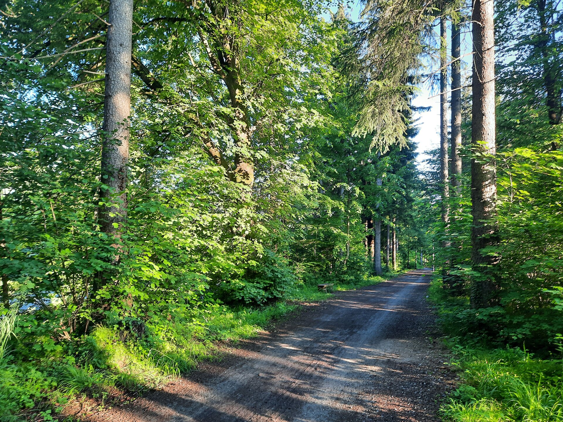
From here, the forest path starts, leading you through a beautiful wooded area and giving you a taste of nature. Once you reach the motorway subway, you have the option of taking the Wiesenrain variant, otherwise follow the cycle path past the Brunnenfeld hydroelectric power station into the industrial estate. The way back towards the starting point initially runs along Brunnenfelderstraße, where caution is advised due to the lack of a pavement. At St Peter's Monastery, use the subway and follow the smaller paths along the built-up area, past the cemetery and the BMX area. After approx. 9 km, you pass the Val Blu leisure pool and the stadium and reach the starting point from a south-easterly direction.

There are two further variants of this route:

Approach

maps.google.at

Public transport

City buses line 502, 503 or 504 to stop "Val Blu/Stadion"

Timetable information online at www.vmobil.at

Parking

Public parking at the stadium

Directions

Stadium - Untersteinstraße - Wichnerstraße - railway subway - Mokrystraße in north-eastern direction - turnaround point Äuleweg - return route - Illufer - Unterer Illrain - Oberer Illrain - forest path - motorway subway - cycle path - Brunnenfeld industrial estate - Brunnenfelderstraße - St. Peter monastery - cemetery - BMX area - direction Rungelin - Grete-Gulbranssonweg - Val Blu leisure pool - Stadium

Safety instructions
EMERGENCY CALL

140 Alpine emergencies Austria-wide
144 Alpine emergencies Vorarlberg
112 Euro emergency call (works with any mobile phone/network)

www.alpenregion-vorarlberg.com/sicherheitstipps-wandern

Equipment

Running shoes, sun and rain protection, filled water bottle, snack (as desired) and first aid kit. Mobile phone in case of emergency.

Destination

Stadium, Bludenz

Starting Point

Stadium, Bludenz

Characteristics
Tour type Jogging
Difficulty Moderate
Elevation profile
Best time of year
Jan
Feb
Mar
Apr
May
Jun
Jul
Aug
Sep
Oct
Nov
Dec