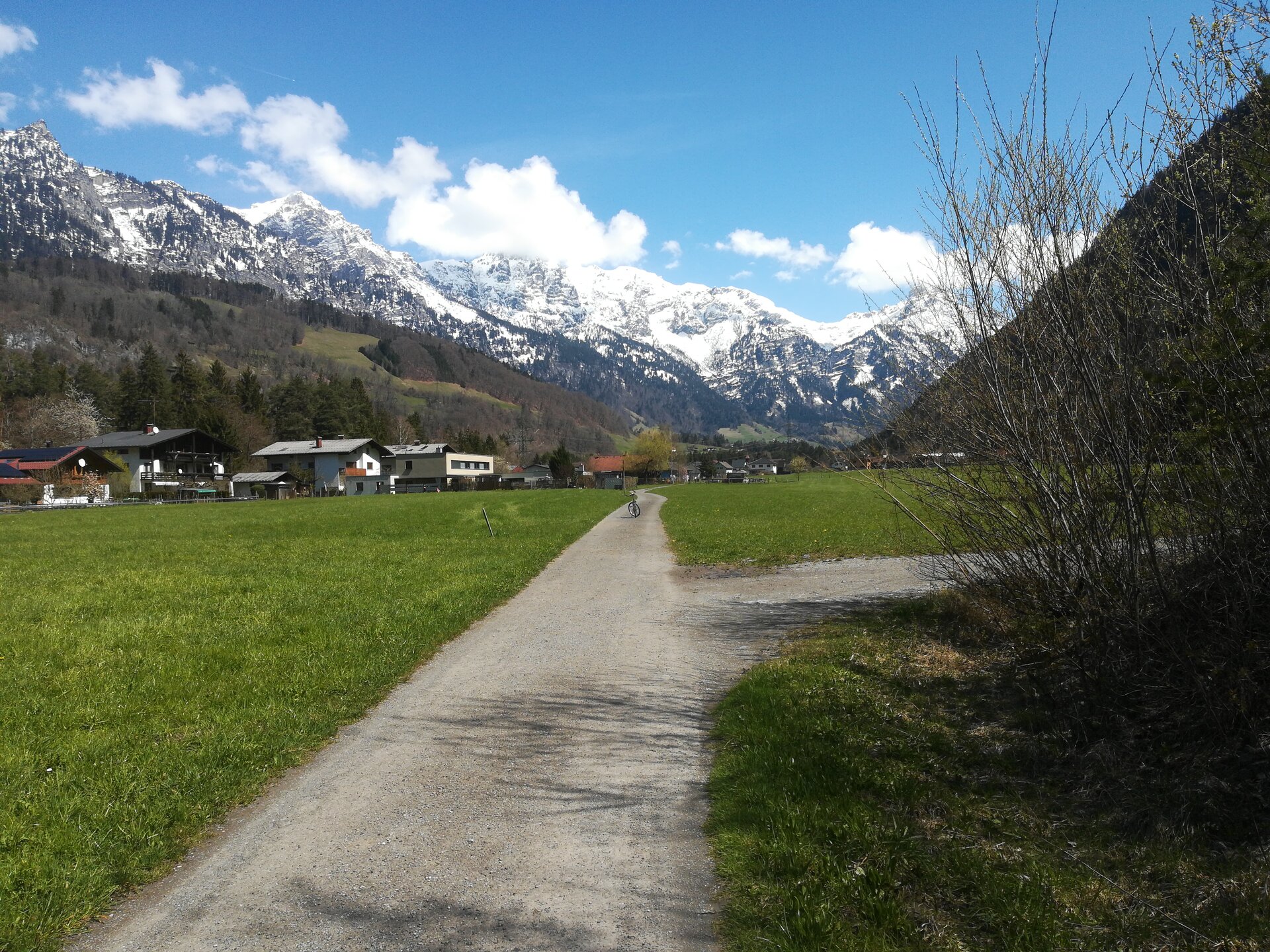
Brunnenfeld Tour: Variant 2a via Stallehr | Bludenz-Stallehr

Moderate
Panoramic
From A to B
Jogging

Variant 2a as an extension for the .

00:55 h duration
3,59 km Length
602 m Highest point
579 m Lowest point
22 m Ascent
22 m Descent
Condition
Difficulty
Result
Landscape

Tour description

If you want to extend your running experience, add the 3.3 km long variant and extend the "Brunnenfeld-Loop" to 12 km. The start of the variant is at the ASZ (waste collection centre) Bludenz. The variant then runs upstream along the Alfenz to Stallehr. Via Bings, the route makes a large loop back towards the west and rejoins the Brunnenfeld-Loop in Brunnenfeld.

Public transport

City bus line 502, stop "Altstoffsammelzentrum" or "Brunnenfeld"

Parking

At the railway station in Brunnenfeld

Directions

ASZ (waste collection centre) - bridge over the Alfenz - cycle path - forest path at the edge of the forest - Stallehr town centre - bridge over the motorway - Bings - Dorfstraße - Bingser Unterfeld - Brunnenfelderstraße - Brunnenfeld

Safety instructions

EMERGENCY CALL

140 Alpine emergencies Austria-wide

144 Alpine emergencies Vorarlberg

112 Euro-emergency call (works with any mobile phone/network)

www.alpenregion-vorarlberg.com/sicherheitstipps-wandern

Equipment

Running shoes, sun and rain protection, filled water bottle, snack (as desired) and first aid kit. Mobile phone in case of emergency.

Destination

Brunnenfeld, Bludenz

Starting Point

ASZ (waste collection centre), Bludenz

Sicherheitstipps für Wandern in Vorarlberg

EN NOTRUF:

EN 140 - Alpine Notfälle österreichweit 

EN 144 - Alpine Notfälle Vorarlberg 

EN 112 - Euro-Notruf (funktioniert mit jedem Handy/Netz) 

Characteristics
Tour type Jogging
Difficulty Moderate
Start Bus stop - Alltstoffsammelzentrum
Finish Bus stop - Brunnenfeld
Elevation profile
Best time of year
Jan
Feb
Mar
Apr
May
Jun
Jul
Aug
Sep
Oct
Nov
Dec