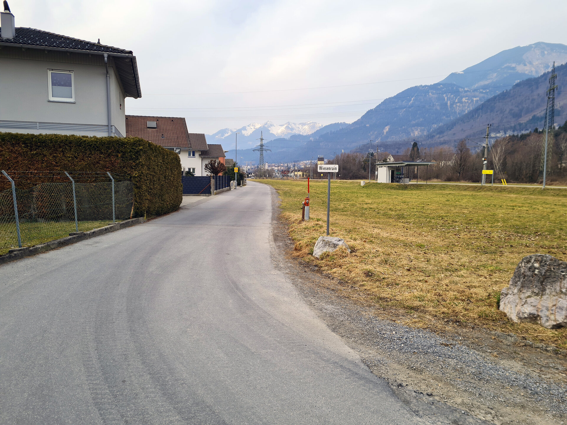
Brunnenfeld_Loop: Variant 2b via Wiesenrain | Bludenz

Easy
From A to B
Jogging
00:20 h duration
1,26 km Length
575 m Highest point
566 m Lowest point
1 m Ascent
8 m Descent
Condition
Difficulty
Result
Landscape

Tour description

Variant 2b as an abbreviation for the Brunnenfeld-Loop.
Description

Before the Brunnenfeld-Loop disappears under the motorway bridge, you run straight over the small bridge of the Getzner Canal and join the Wiesenrain variant there. This variant makes for a slightly shorter total lap length of 8.4 kilometres. Through the urban area of Klarenbrunn, you come to a large meadow, the Wiesenrain. You then switch to the other side of the railway and rejoin the Brunnenfeld loop at St. Peter's Monastery.

Approach

maps.google.at

Public transport

City bus line 502, bus stop "Bludenz Tränkeweg"

Parking

No parking facilities

Directions

Bridge in front of motorway subway - Klarenbrunnstraße - Bludenz Moos railway station - Wiesenrain - St. Peter monastery

Safety instructions
EMERGENCY CALL

140 Alpine emergencies Austria-wide
144 Alpine emergencies Vorarlberg
112 Euro-emergency call (works with any mobile phone/network)

www.alpenregion-vorarlberg.com/sicherheitstipps-wandern

Equipment

Running shoes, sun and rain protection, filled water bottle, snack (as desired) and first aid kit. Mobile phone in case of emergency.

Destination

St. Peter's Monastery, Bludenz

Starting Point

Bridge in front of motorway subway, Bludenz

Characteristics
Tour type Jogging
Difficulty Easy
Elevation profile
Best time of year
Jan
Feb
Mar
Apr
May
Jun
Jul
Aug
Sep
Oct
Nov
Dec