Tour description
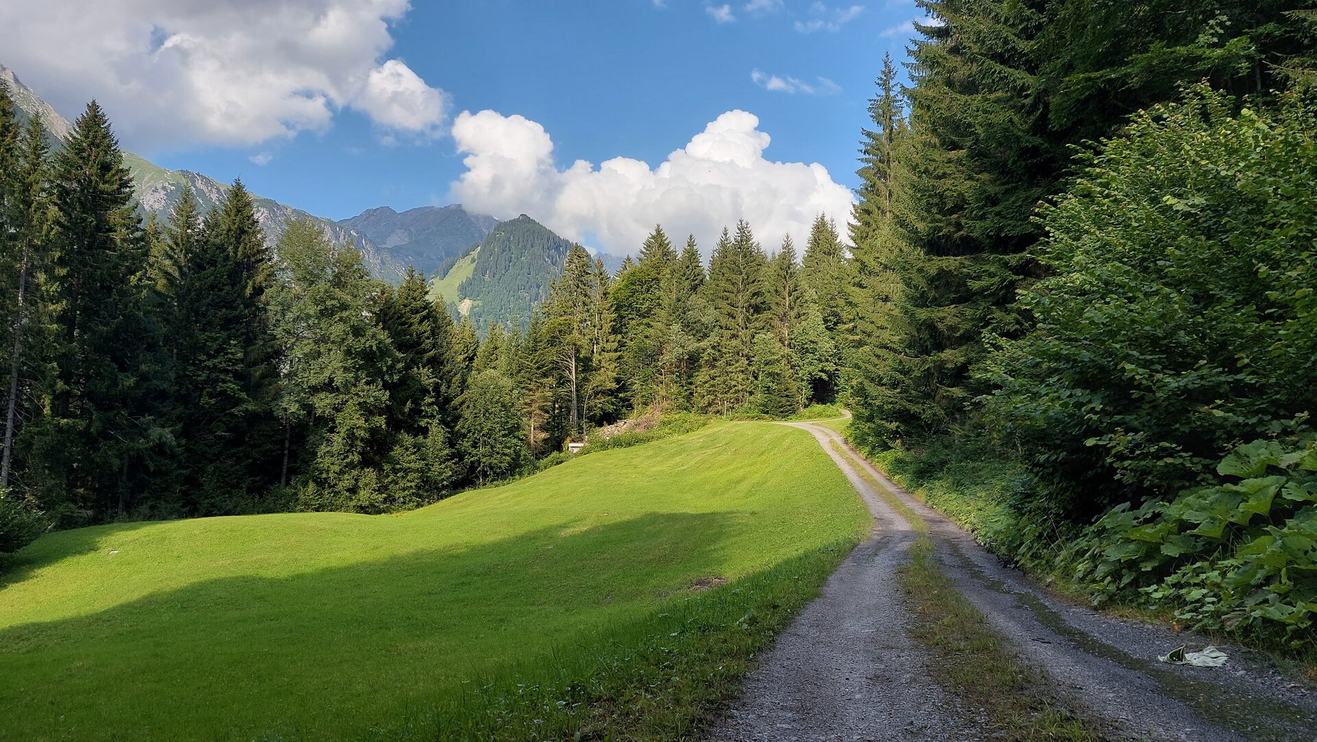
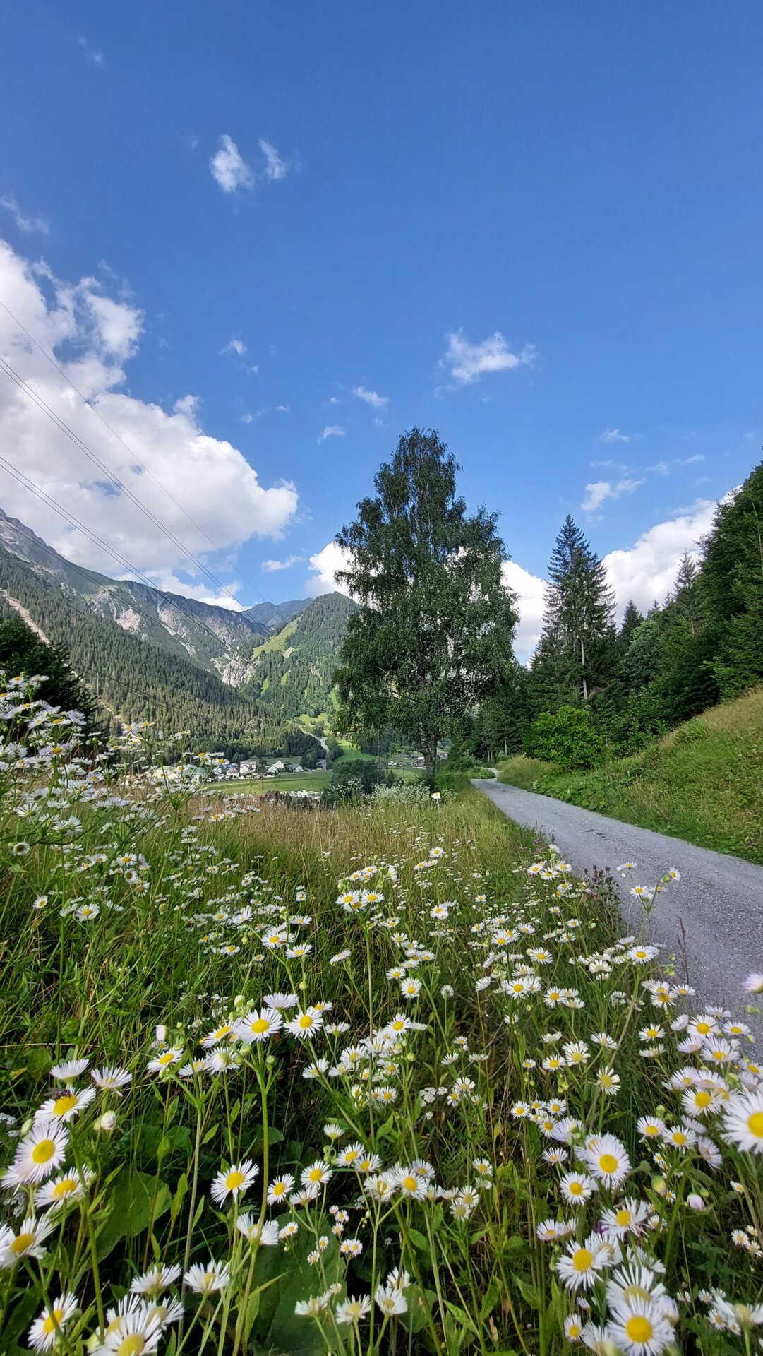
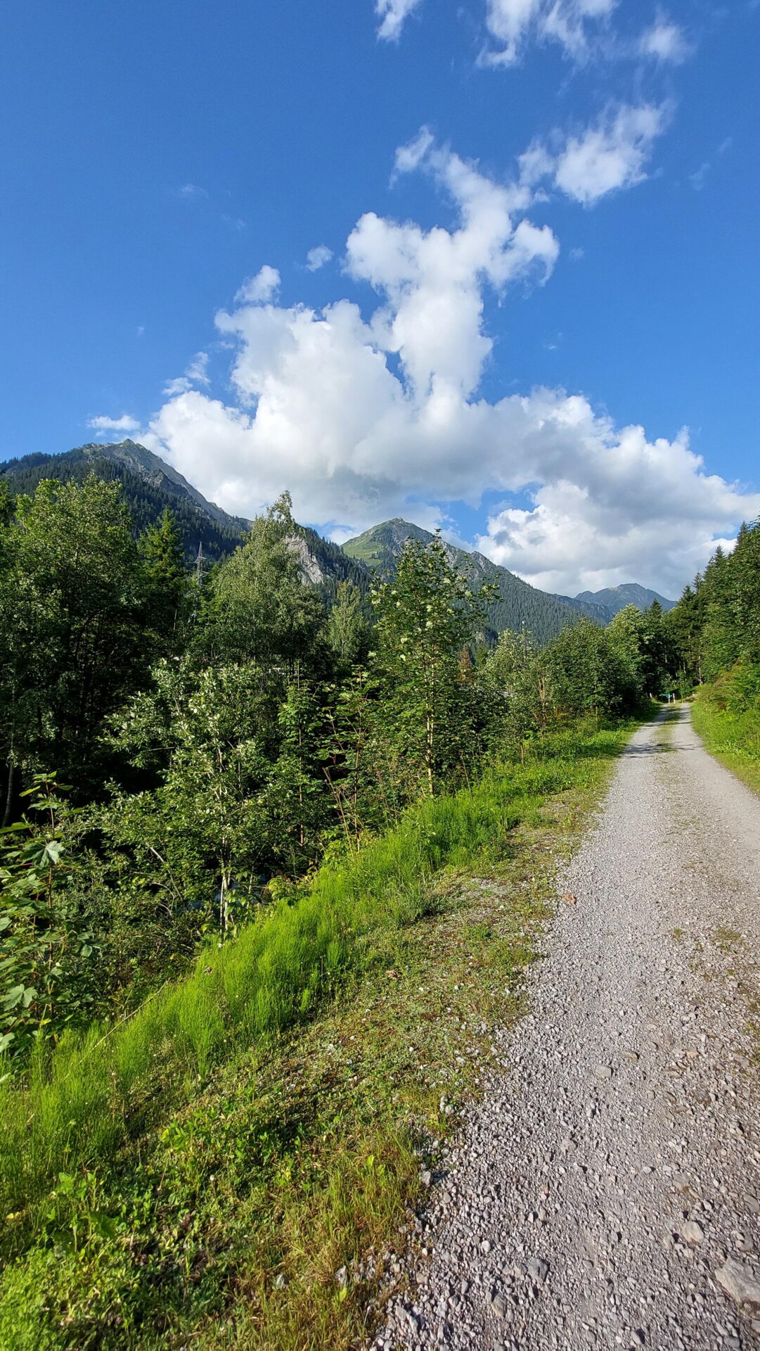
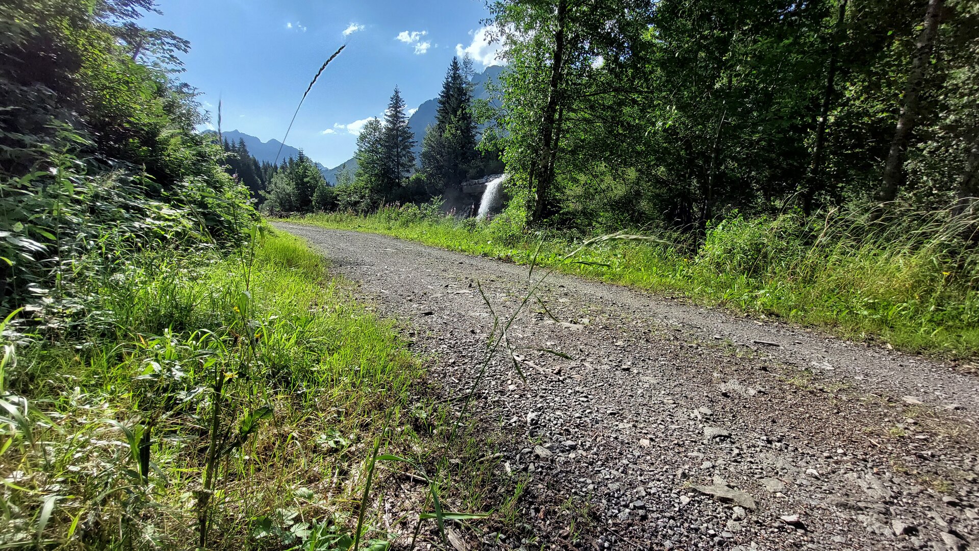
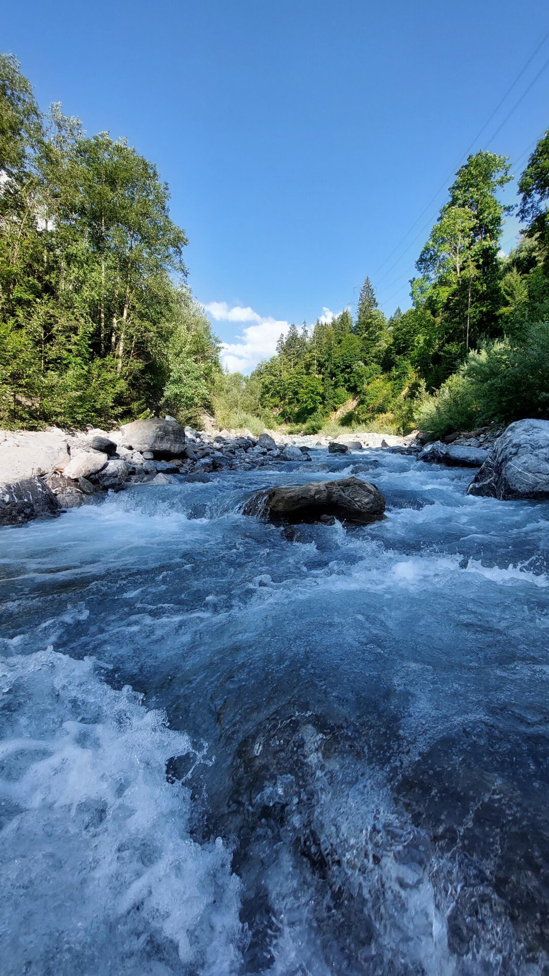
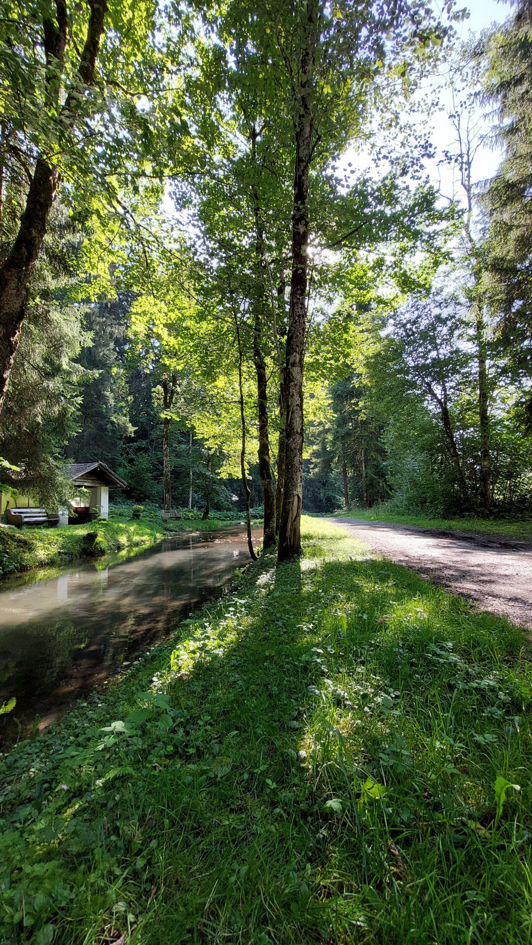
From the starting point, hike along the Sonnenkopf forest road to the first big hairpin bend, then continue on the marked footpath (small meadow path) out of the valley through the Schattenmähder. Impressive view of the Klostertal mountains. Pass a stable, where the path widens again. At the end of the path, continue to the right on the forest road. Past the Bärentobel and the Metzler Maisäß. Somewhat hidden under the hut at the edge of the forest, a small meadow path leads down to the Garmauscha parcel. Follow the path and at the end take the forest road on the right, which then turns into an asphalted municipal road. A small pond on the right side invites you to linger before continuing on the road to the bottom of the valley. At the bottom of the valley, turn right again onto the bike/hiking path and follow the Alfenz river back down the valley to the Sonnenkopfbahn valley station.