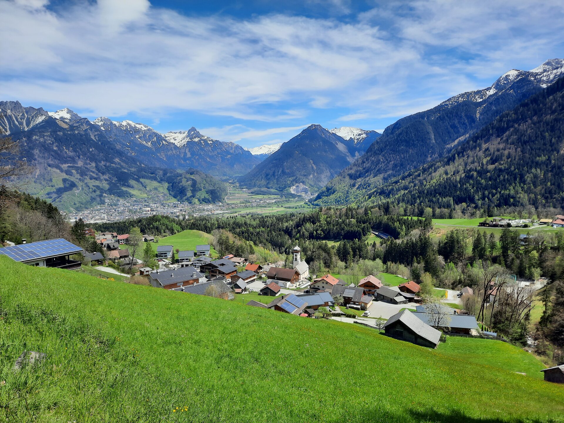
Tour description
From the Bürserberg municipal office, follow the road in the direction of the Matin district (church). At the church turn left and follow the road in the direction of Tschengla until the first right turn, turn Masura. Turn right here and continue along the road, which turns into a meadow path. Crossing this meadow and forest road, you will reach the tarred (carriage) road, there turn right and follow the road downhill, passing a fish and duck pond. At the end of this road turn left and follow the road towards Ausserberg and the waterfall. Turn left to the waterfall - this one is especially worth seeing! Follow the road past the Moser farm and after about 200 m turn right along a meadow path and cross the meadow. You will reach the Nesler farm and from there turn right again and take the tarred road back to Ausserberg and continue to Matin back to the Bürserberg municipal office.