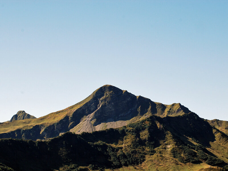
Round-Tour Faschina-Damüls-Faschina | Damüls-Faschina

Moderate
Refreshments
Cable car ascent/descent
Flora
Round trip
Hiking trail

Faschinajoch - Hahnenkopf - Bergstation Glatthornbahn - Alpe Unterdamüls - Damüls Kirchdorf - Faschinajoch

04:30 h duration
11,0 km Length
1989 m Highest point
1354 m Lowest point
635 m Ascent
635 m Descent
Condition
Technique
Difficulty
Result
Landscape

Tour description

Starting from the valley station of the Stafelalpbahn in Faschina, a first ascent leads to the intermediate station of the chairlift. From there, the path follows a ridge along the Flower Trail until reaching the mountain station of the Glatthornbahn. Shortly after the mountain station, you will have reached the highest point of the tour.

From there, the route descends, passing below the Damülser Horn, to Alpe Unterdamüls. A forest road then leads from Unterdamüls Alp to Damüls, where you can either take the bus back to Faschina or follow the path from the village church through the avalanche gallery to Faschina.

Public transport

www.vmobil.at - Bus from Au line 851, from Thüringen line 570

Parking

At the parkling lot Faschinajoch/Stafelalpbahn

Tips

Stop for a break at the Unterdamüls Alp or at the inns in Damüls.

Literature

Hiking map of the Bregenzerwald at a scale of 1:32,000. All hiking routes and important information about mountain lifts, huts, and alpine inns can be found in the Bregenzerwald hiking map. The map is available at Bregenzerwald Tourism, in tourist offices, and at select hotels.

Destination

Faschinajoch

Starting Point

Faschinajoch

Sicherheitshinweise

EMERGENCY CALL

140 Alpine emergencies Austria-wide

144 Alpine emergencies Vorarlberg

112 Euro-emergency call (works with any mobile phone/network)

www.alpenregion-vorarlberg.com/sicherheitstipps-wandern

Sicherheitstipps für Wandern in Vorarlberg

EN NOTRUF:

EN 140 - Alpine Notfälle österreichweit 

EN 144 - Alpine Notfälle Vorarlberg 

EN 112 - Euro-Notruf (funktioniert mit jedem Handy/Netz) 

Characteristics
Tour type Hiking trail
Difficulty Moderate
Start Bushaltestelle - Passhöhe/ Seilbahn
Finish Bushaltestelle - Passhöhe/ Seilbahn
Elevation profile
Best time of year
Jan
Feb
Mar
Apr
May
Jun
Jul
Aug
Sep
Oct
Nov
Dec