Tour description
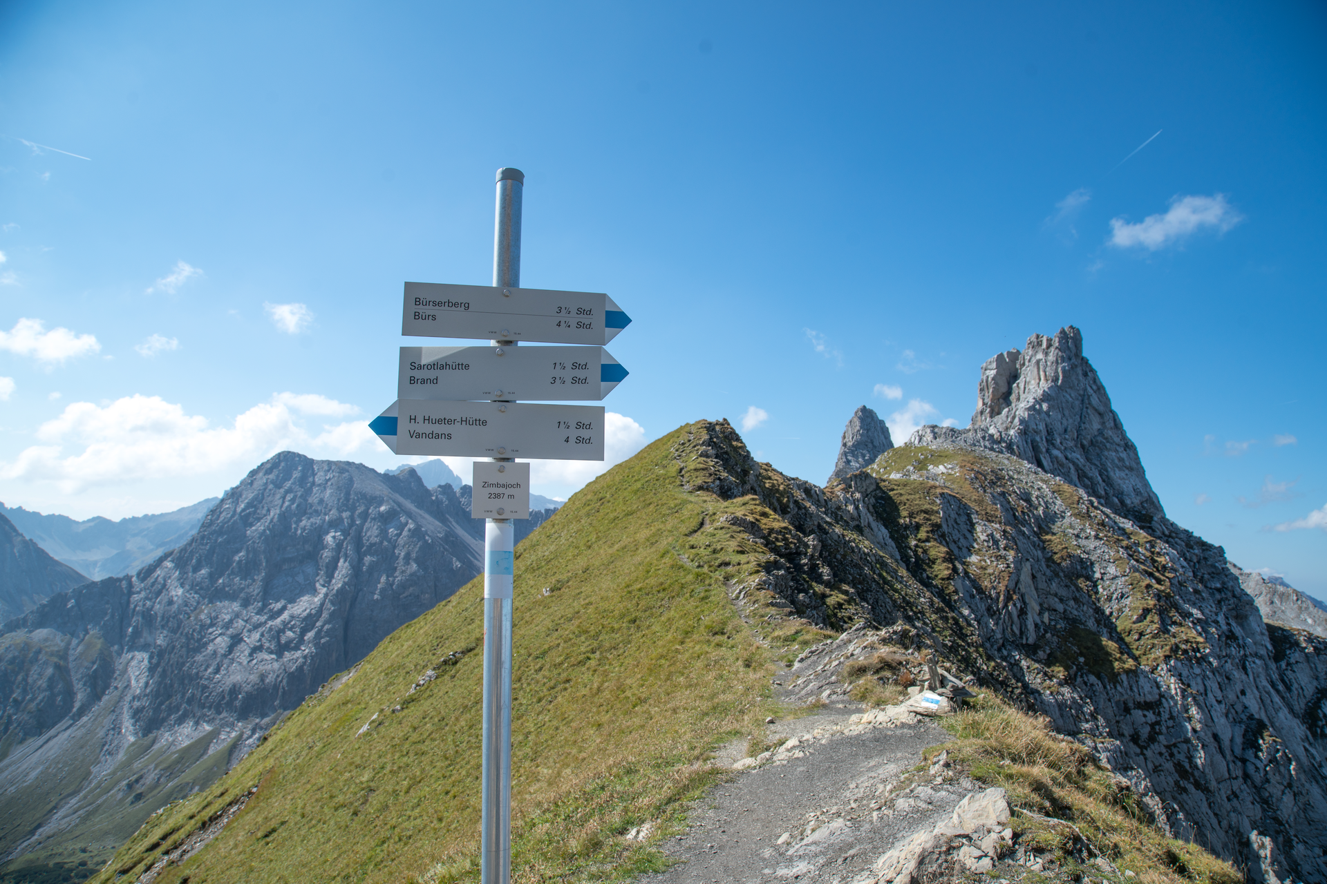
This mountain tour starts in the center of Brand. Here you hike along the Alvierbach stream out of the valley until the trail branches off into the Sarotla valley. The beautiful hiking trail leads along the stream in several serpentines up to the Sarotlahütte. Passing the Sarotlahütte, this mountain hike now leads on level ground for a short while and then over rocky terrain in several serpentines up to the Zimbajoch (2,387 m).
At the Zimbajoch you will enjoy very beautiful views of the Rätikon mountains!
On the other side, a very steep zig-zag path also in rocky terrain leads down to the Heinrich-Hueter hut. After a short rest at the Heinrich-Hueter hut, the trail then leads via the Gipsköpfleweg below the Schafgafall up to the Lünerkrinne. From the Lünerkrinne, the trail now descends to the Lünersee and continues along the Lünersee circular trail to the Douglasshütte.
From here you can either take the Lünersee cable car and the bus back to Brand or descend via the Bösen Tritt to the valley station of the Lünersee cable car and continue on foot to Brand.