-
 © Bianca Ganahl
 -
 © Bianca Ganahl
 -
 © Bianca Ganahl
 -


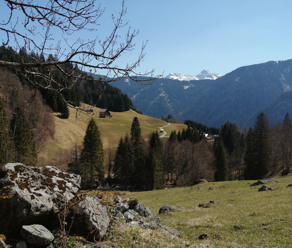
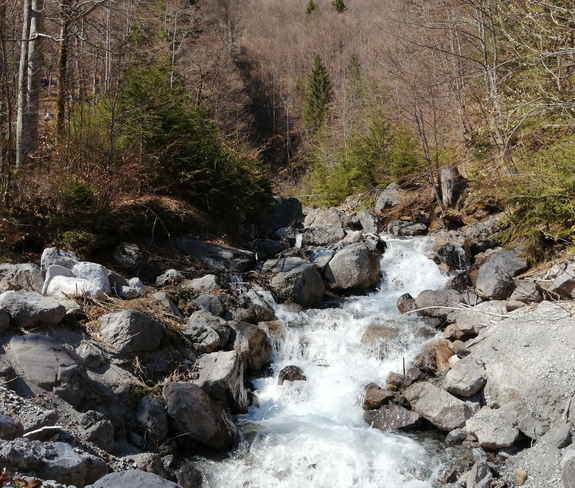
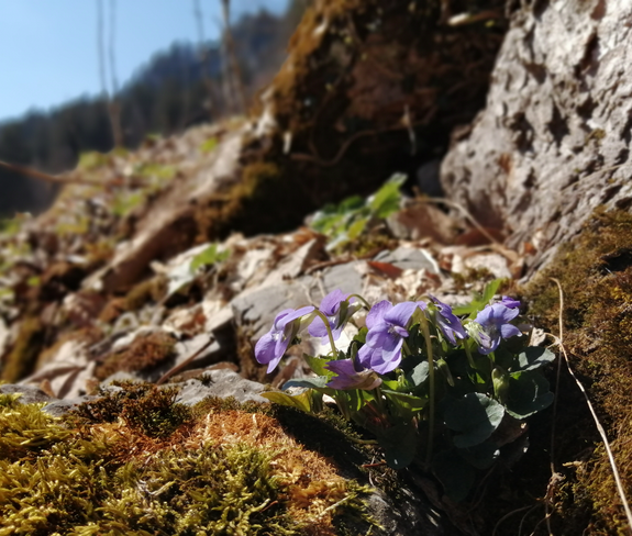
Römerkeller | Dalaas
Hiking trail

