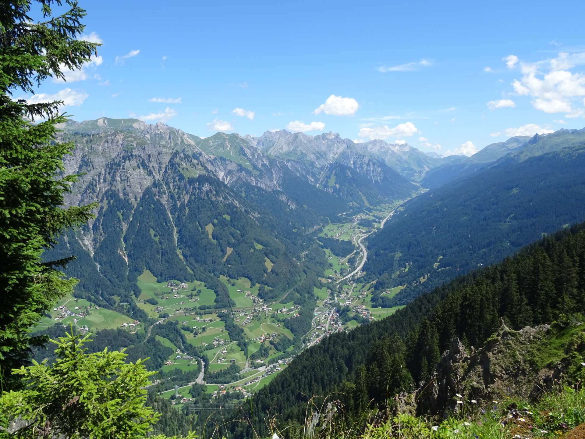
Around the Itonskopf | Dalaas

Distance34,7 km

Elevation gain1565 m

Negative altitude1565 m

LevelDifficult

Duration5:00 h

Distance34,7 km

Elevation gain1565 m

LevelDifficult

Duration5:00 h

A short moment

Loading map...

Around the Itonskopf | Dalaas

After the start in Dalaas at the Kristbergsaal, the tour leads through the Dalaas community forest up to the Kristbergsattel. From here briefly downhill to the panormagasthof Kristberg, before it goes again briefly downhill and then away to the right over several maize saddles up to Ganzaleita. From here to the Fritzensee and further to Rellseck. At Rellseck you have a great view of the mountains of the Rätikon and of course the possibility to stop for a break. From here, head uphill towards Alplegi before descending on the Klostertal side to Alpe Latons. Approx. 2 km after the farmed Alpe Latons, the goods road narrows to a hiking trail. From now on, the trail continues on a single trail in the direction of the "Falle" viewpoint. Shortly thereafter, turn right and descend again towards the Maisäßlandschaft and back up to the Panoramagasthof Kristberg. From here via the same route as at the beginning back to Dalaas.

Author's recommendation

Challenging tour with great single trails!

Equipment

Mountain bike, helmet, rain or sun protection as well as small food and sufficient water.

Route description

Start: Parking lot Kristbergsaal, Dalaas

End: Parking lot Kristbergsaal, Dalaas

Dalaas - Dalaaser Gemeindewald - Kristbergsattel - Panoramagasthof Kristberg - Ganzaleita - Fritzensee - Rellseck - Alplegi - Alpe Latons - Falle - Ganzaleita - Panoramagasthof Kristberg - Kristbergsattel - Dalaaser Gemeindewald - Dalaas

Properties

  • Scenic
  • Circular route
  • Refreshment stops available

Emergency services

140 Alpine Emergencies throughout Austria

144 Alpine Emergencies Vorarlberg

112 Euro emergency call (works with any mobile phone/network)