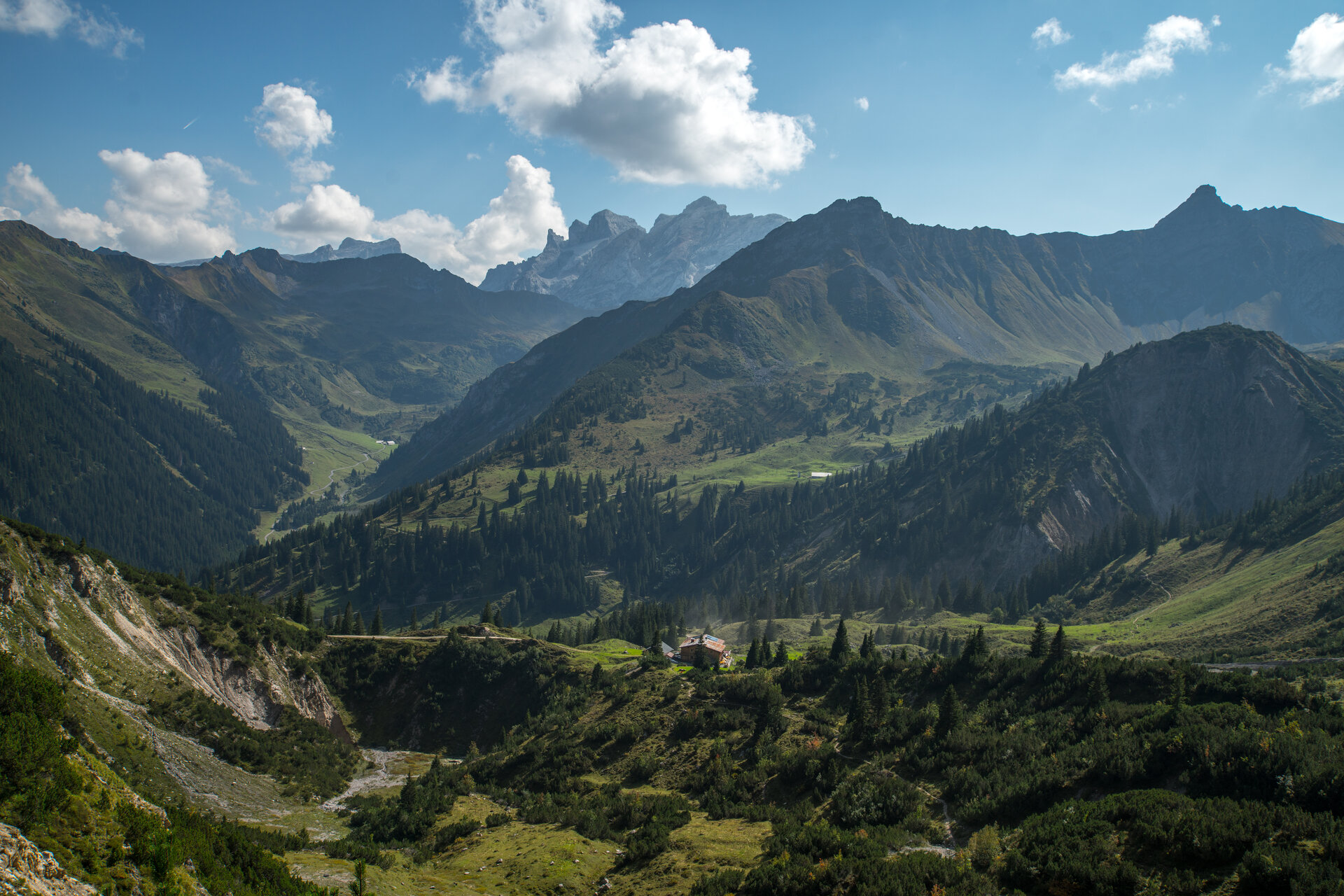
To the Heinrich​-​Hueter Hut ​|​ Brand

Moderate
Refreshments
Panoramic
Cable car ascent/descent
There and back
Hiking trail

Hike from the Brandnertal valley into the Rellstal valley to the Heinrich-Hueter hut.
03:55 h duration
9,8 km Length
2157 m Highest point
1749 m Lowest point
580 m Ascent
590 m Descent
Condition
Difficulty
Result
Landscape
Public transport

Bus line 580, stop "Lünerseebahn"

Timetable enquiry online at www.vmobil.at

Parking

Lünersee valley station, Brand

Directions

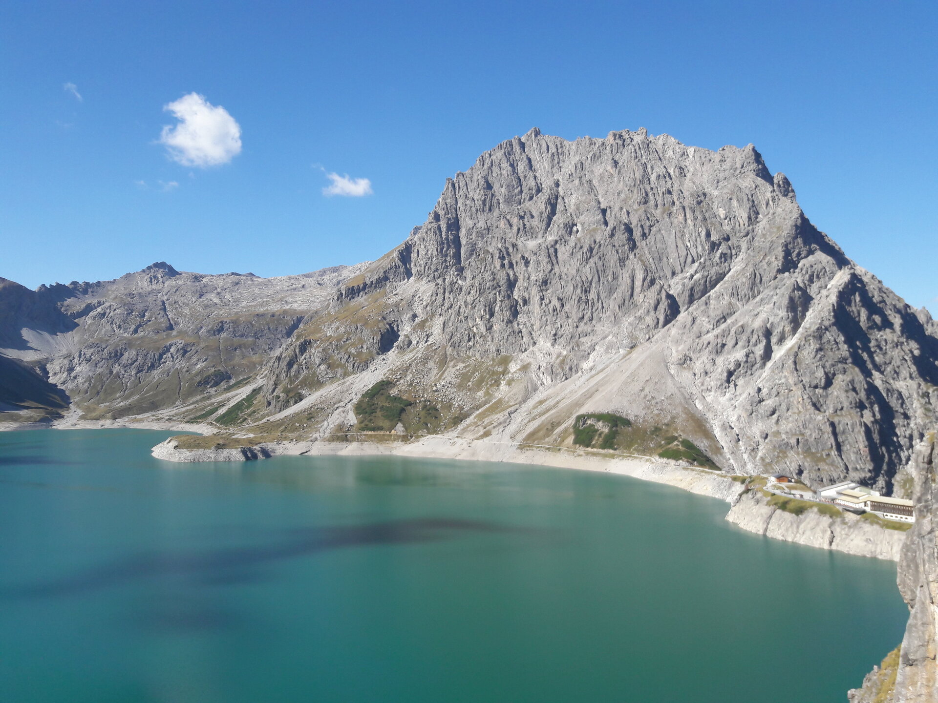
Lünersee cable car valley station - ascent with the Lünersee cable car - Lünersee cable car mountain station - Lünersee circular route - dam wall - Lünerkrinne - Lüner Weg - Gipfsköpfleweg - Heinrich-Hueter Hütte - same route back

Safety instructions

EMERGENCY CALL

140 Alpine emergencies Austria-wide

144 Alpine emergencies Vorarlberg

112 Euro-emergency call (works with any mobile phone/network)

www.alpenregion-vorarlberg.com/sicherheitstipps-wandern

Equipment

Ankle hight mountain boots, warm clothing, rain and sun protection and hiking poles are recommended. Cell phone for emergencies.

Tips

A stop at the Heinrich-Hueter Hütte is well worth it!

Destination

Lünersee cable car valley station, Brand

Starting Point

Lünersee cable car valley station, Brand

Safety in the mountains

EN NOTRUF:

EN 140 - Alpine Notfälle österreichweit 

EN 144 - Alpine Notfälle Vorarlberg 

EN 112 - Euro-Notruf (funktioniert mit jedem Handy/Netz) 

Characteristics
Tour type Hiking trail
Difficulty Moderate
Start Bushaltestelle - Lünerseebahn
Finish Bushaltestelle - Lünerseebahn
Elevation profile
Best time of year
Jan
Feb
Mar
Apr
May
Jun
Jul
Aug
Sep
Oct
Nov
Dec