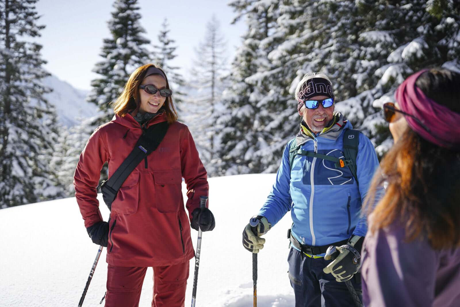
Tour description
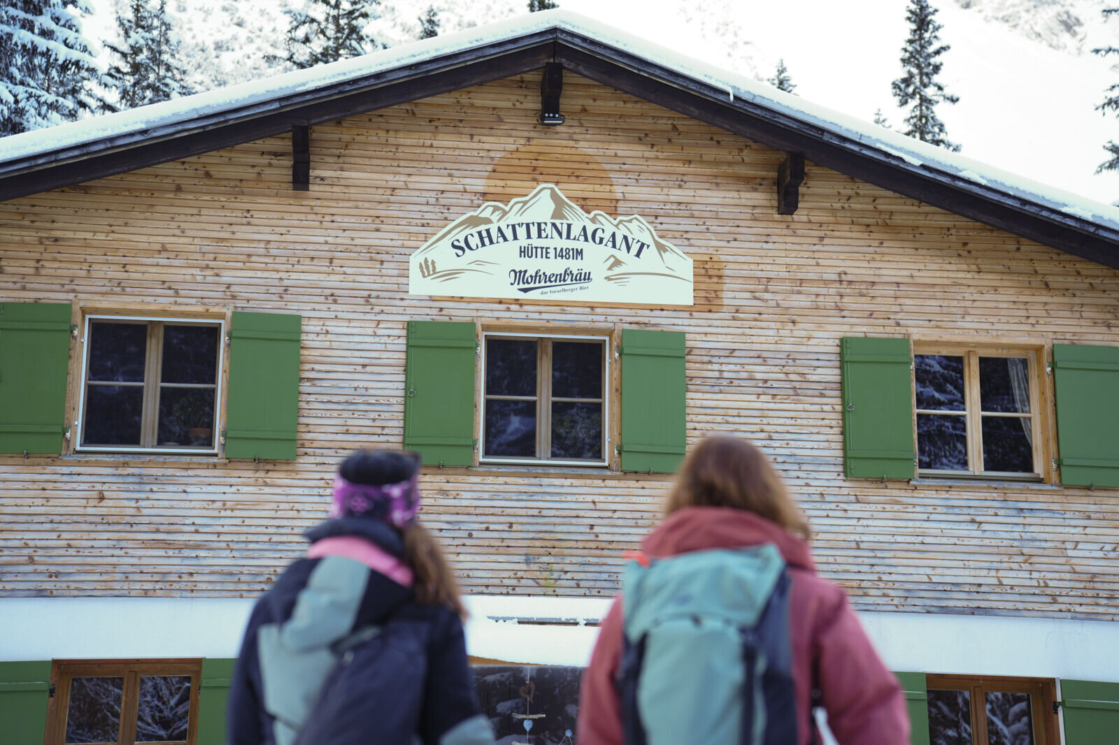
The starting point of this tour is at the car park at the Palüd cable car in Brand. It is a short walk along the road into the valley to the end of the toboggan run. The signposted ski tour route no. 4 "Schattenlagant Tour" starts before the end of the toboggan run and branches off immediately to the left - past the "Herz Jesu" chapel and over the Alvier to the other side of the stream. Follow the signs into the valley towards Kesselfall or Schattenlagant. After just over 2 km, the ascent route joins the toboggan run. From here, please keep to the right so that those travelling down into the valley have sufficient space. From here, follow the signs until you reach the end of the tour, the Schattenlaganthütte. After a cosy refreshment stop at the Schattenlaganthütte, you can then take the prepared toboggan run down into the valley.
Please note for the descent via the toboggan run: You may encounter ascending pedestrians with/without toboggans and ski tourers - please descend into the valley with consideration.
Please note the avalanche report: This tour is only possible if the route is open. If the avalanche danger is too high, the paths to the Schattenlagan hut may have to be closed. Pay attention to the avalanche report and the information boards and trail closures at the start of the route.
No liability can be accepted for the accuracy of the information can be accepted. Ski touring in alpine terrain is always at your own risk.