Parpfienz trail ​|​ Brand

Easy
closed
Refreshments
Panoramic
Groomed snow surface
From A to B
Winter hiking

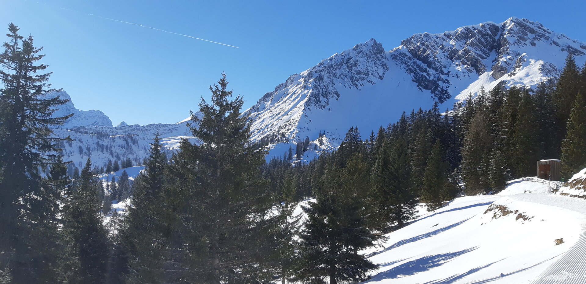
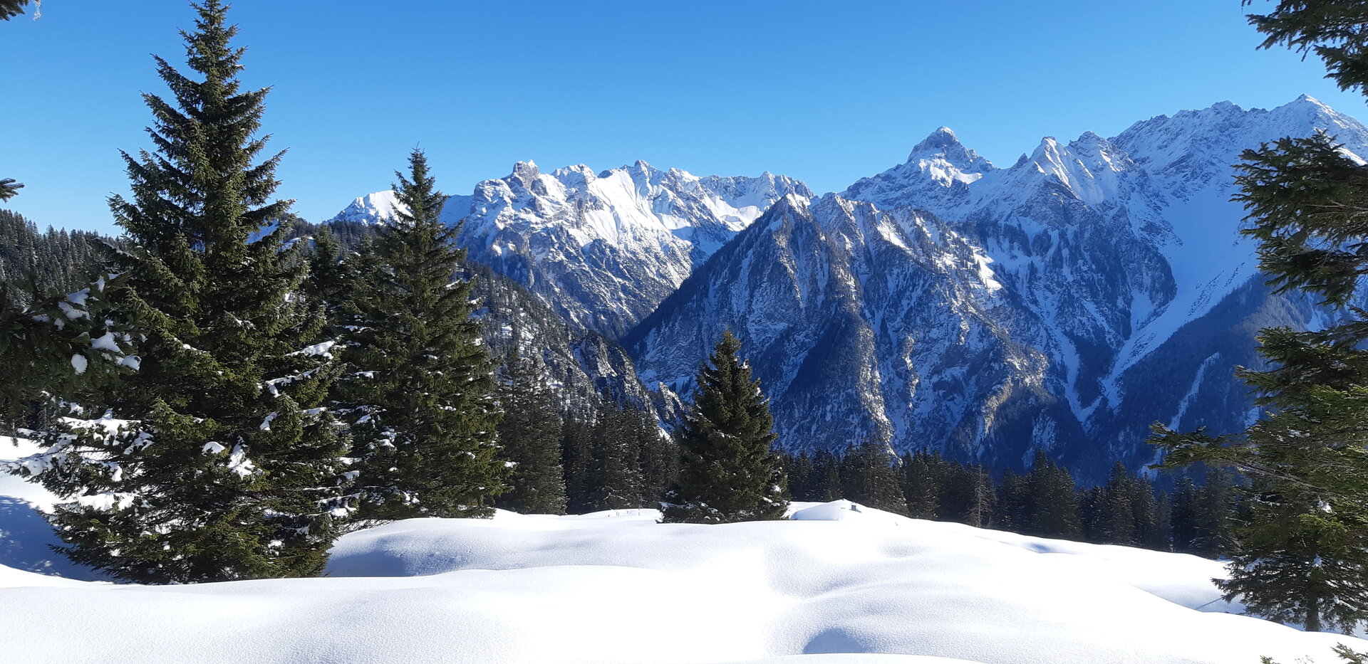
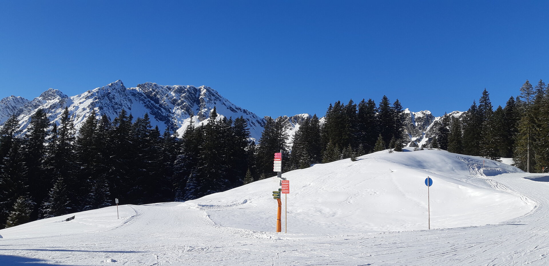
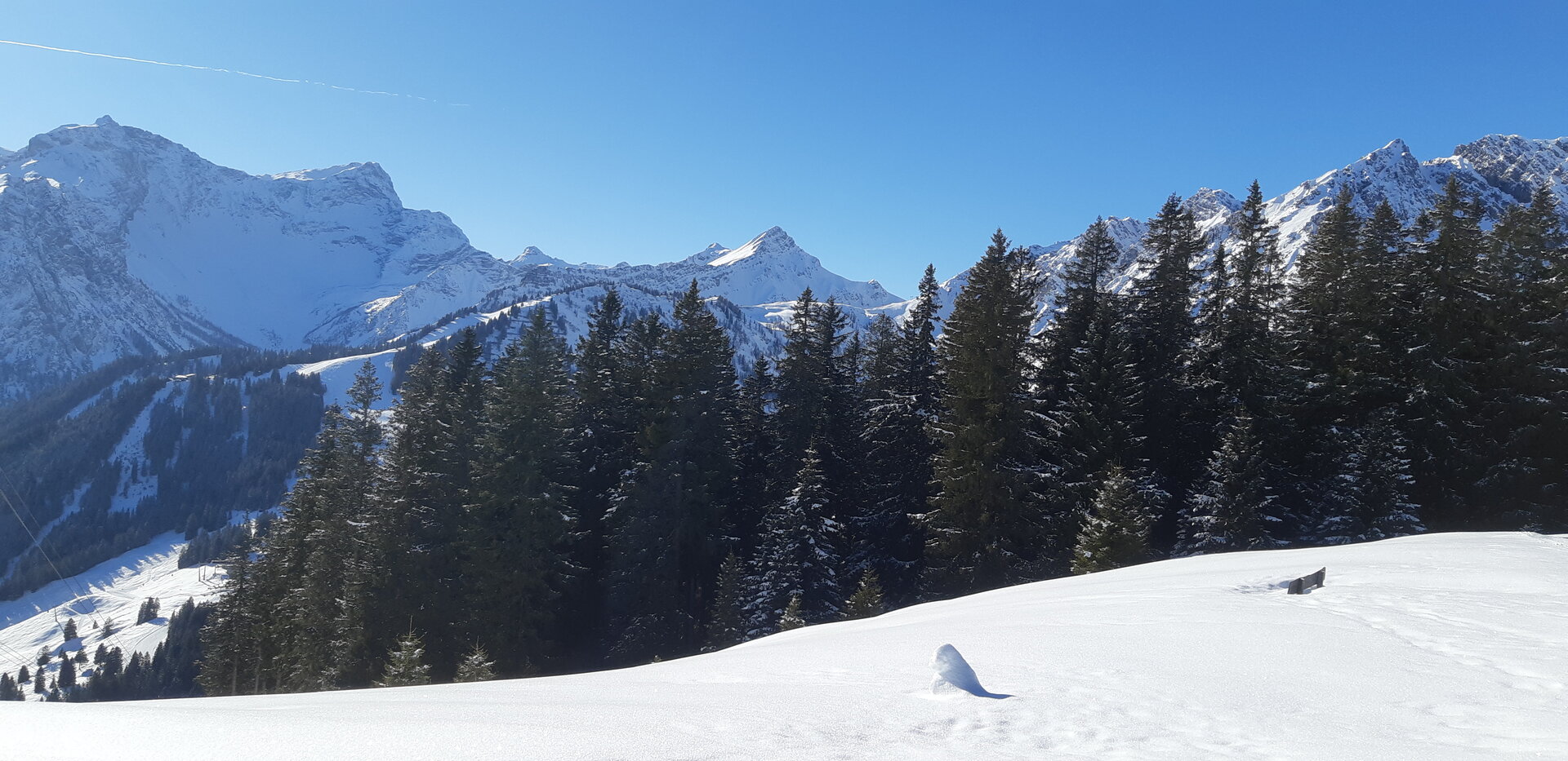
Short winter hike along the Parpfienz trail from the Panoramabahn mountain station back to the Panoramabahn valley station/Dorfbahn mountain station.
01:30 h duration
4,54 km Length
1676 m Highest point
1415 m Lowest point
38 m Ascent
290 m Descent
Condition
Difficulty
Result
Landscape
Public transport

Bus line 580, "Dorfbahn"

Timetable enquiry online at www.vmobil.at

Parking

Dorfbahn cable car, Brand

Directions

Ascent with Dorfbahn and Panorambahn - Panoramabahn mountain station/Burtschasattel - Parfpienzsattel - Parpfienz trail - Innere Parpfienzalpe - Panoramabahn valley station/Dorfbahn mountain station - Descent with Dorfbahn

Safety instructions

EMERGENCY CALL
140 Alpine emergencies Austria-wide
144 Alpine emergencies Vorarlberg
112 Euro-emergency call (works with any mobile phone/network)

www.alpenregion-vorarlberg.com/sicherheitstipps-winter

Due to weather conditions, the winter hiking trails may not be freshly groomed every day. Changes may occur depending on snow and weather conditions. These are constantly updated and can be accessed via these links:

www.brandnertal.at/schneebericht

www.vorarlberg.at/lawine

Equipment

Sturdy shoes, warm clothing and walking sticks are recommended. Mobile phone in case of emergency.

Destination

Panoramic cable car valley station, Bürserberg

Starting Point

Panoramic cable car mountain station, Bürserberg

Sicherheitstipps für Winterwandern in Vorarlberg

NOTRUF:

140 - Alpine Notfälle österreichweit 

144 - Alpine Notfälle Vorarlberg 

112 - Euro-Notruf (funktioniert mit jedem Handy/Netz) 

Wetterbedingt kann es vorkommen, dass die Wanderwege nicht täglich frisch gespurt werden. Je nach Schnee- und Wetterverhältnissen kann es zu Änderungen kommen.

Characteristics
Tour type Winter hiking
Difficulty Easy
Elevation profile
Best time of year
Jan
Feb
Mar
Apr
May
Jun
Jul
Aug
Sep
Oct
Nov
Dec