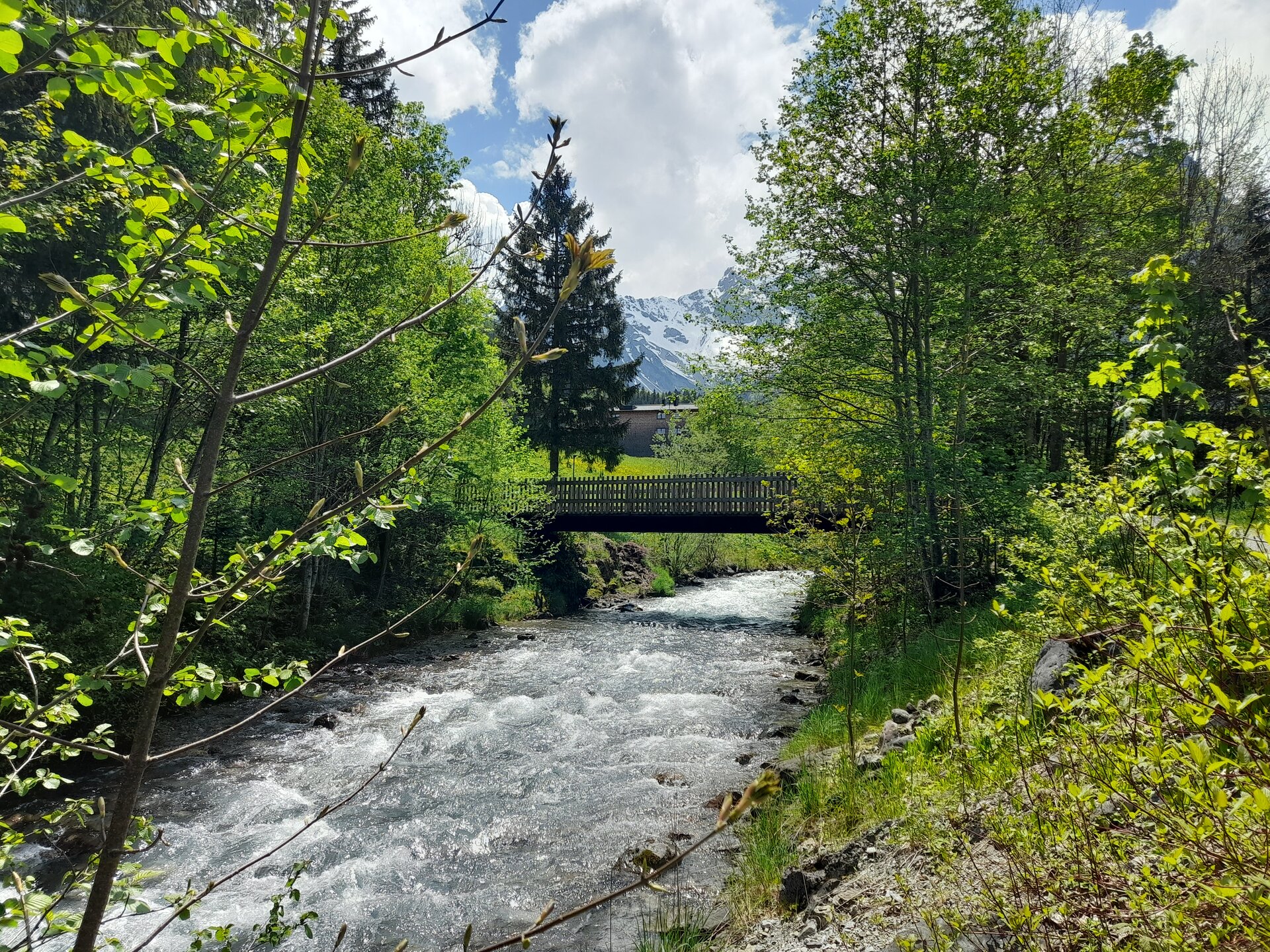
Alvierbachweg ​|​ Brand

Easy
Refreshments
Family-friendly
Stroller-friendly
Round trip
Hiking trail

Quiet, partly shady walk along the Alvierbach stream in Brand.

01:30 h duration
4,96 km Length
1068 m Highest point
980 m Lowest point
89 m Ascent
88 m Descent
Condition
Difficulty
Result
Landscape
Public transport

Country bus L 580, stop "Brand Gemeindezentrum".

Timetable enquiry online at www.vmobil.at

Parking

Parking places in Brand

Directions

Several access points in Brand. The tour listed in the route description follows this path:

Riding stable Sporthotel Beck - left of the Alvier out of the valley - Alvierbad - Kneipp place - bridge over the Alvier at the animal adventure trail - stream crossing - left of the Alvier into the valley - Schedlerhof - Brüggaweg - Brügga - into the valley to the next bridge - Innertal - stream crossing - Herz-Jesu-Kapelle - Palüdbahn valley station - main road to the turn-off after the Alpen Tenne restaurant - Aubrücke - left of the Alvier out of the valley to the riding stable Sporthotel Beck

Safety instructions

EMERGENCY CALL

140 Alpine emergencies Austria-wide

144 Alpine emergencies Vorarlberg

112 Euro-emergency call (works with any mobile phone/network)

www.alpenregion-vorarlberg.com/sicherheitstipps-wandern

Equipment

Sturdy shoes, warm clothing, rain and sun protection and walking sticks are recommended. Mobile phone in case of emergency.

Tips

After a leisurely walk along the Alvierbach, the restaurants in the village invite you to stop for a bite to eat.

Destination

Village centre, Brand

Starting Point

Village centre, Brand

Safety in the mountains

EN NOTRUF:

EN 140 - Alpine Notfälle österreichweit 

EN 144 - Alpine Notfälle Vorarlberg 

EN 112 - Euro-Notruf (funktioniert mit jedem Handy/Netz) 

Characteristics
Tour type Hiking trail
Difficulty Easy
Start Bushaltestelle - Gemeindezentrum
Finish Bushaltestelle - Gemeindezentrum
Elevation profile
Best time of year
Jan
Feb
Mar
Apr
May
Jun
Jul
Aug
Sep
Oct
Nov
Dec