Tour description
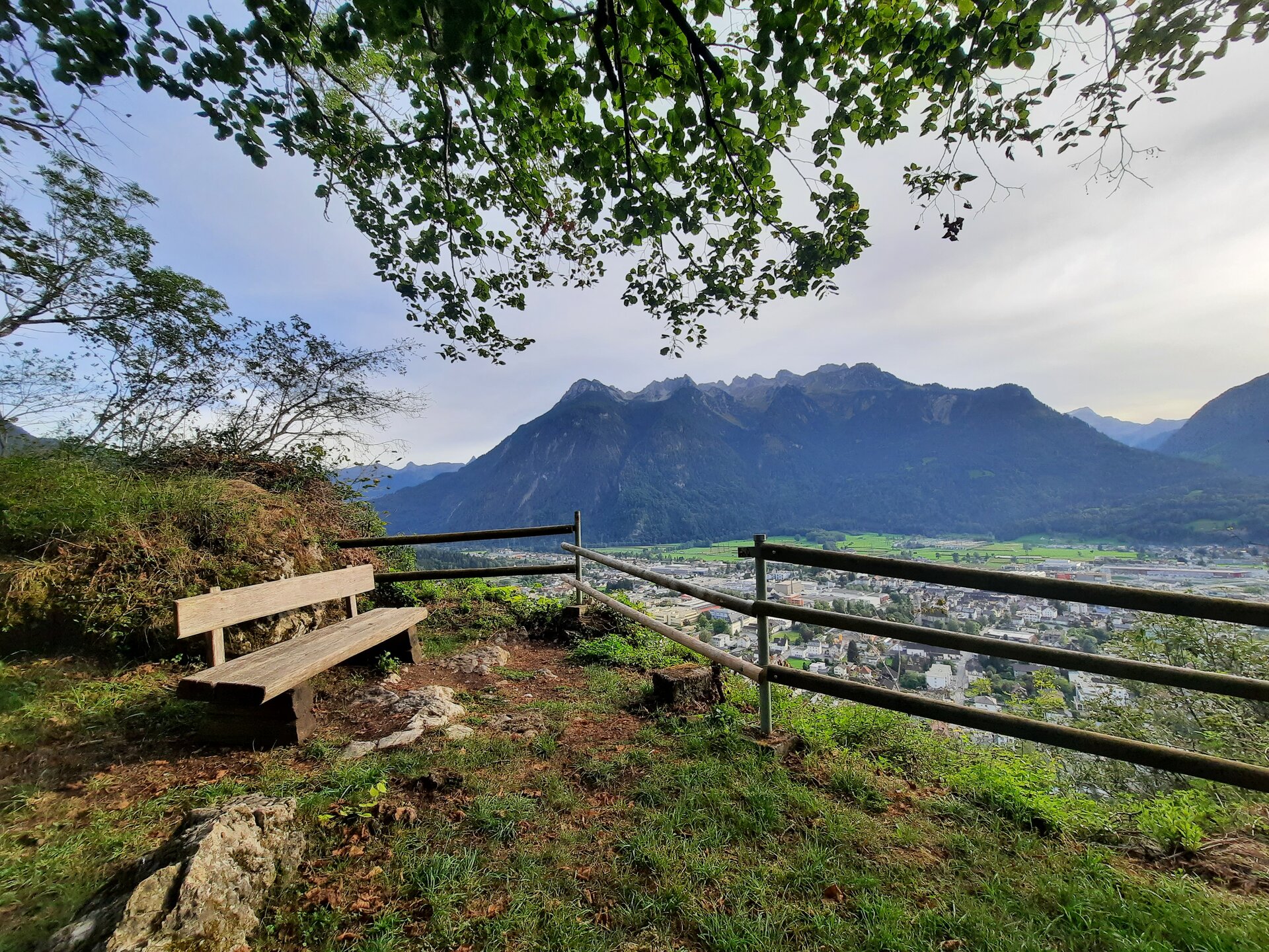
From the start, the route heads west for approx. 1.7 km, past the old town centre and the retirement home. Immediately after the old people's home, the trail enters the forest and climbs up to Montikel with several viewpoints and a breathtaking panorama over Bludenz and the Klostertal. The trail continues uphill along the edge of the terrain in an easterly direction. Continuous concentration is required on the branching paths to avoid stumbling. After around 1.4 km, you reach the Haldawässerle, the highest point of the tour at approx. 790 metres. From here, the route continues downhill on forest paths to the houses in Rungelin. Once you have reached the valley floor, the last kilometre is along the Haldenweg back to the starting point.
City bus line 502, 503 or 504 to stop "Val Blu/Stadion"
Timetable query online at www.vmobil.at
Public parking at the stadium
Stadium - Untersteinstraße - Herrengasse - Mutterstraße - Spitalgasse - fire station - social centre/Laurentiuspark - forest path - Montikel with viewpoints - forest path - Haldawässerle (highest point) - Rungelin - Haldenweg - Val Blu leisure pool - stadium
Running shoes, sun and rain protection, filled water bottle, snack (as desired) and first aid kit. Mobile phone for emergencies.
EN NOTRUF:
EN 140 - Alpine Notfälle österreichweit
EN 144 - Alpine Notfälle Vorarlberg
EN 112 - Euro-Notruf (funktioniert mit jedem Handy/Netz)