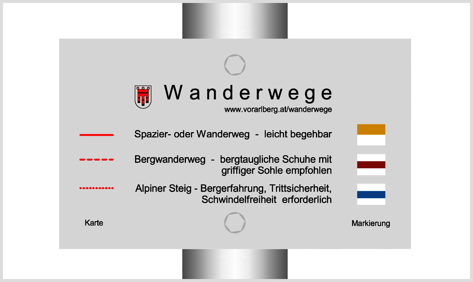
Wiesweg ​|​ Raggal ​-​ Ludescherberg

Easy
Refreshments
Panoramic
Family-friendly
There and back
Hiking trail

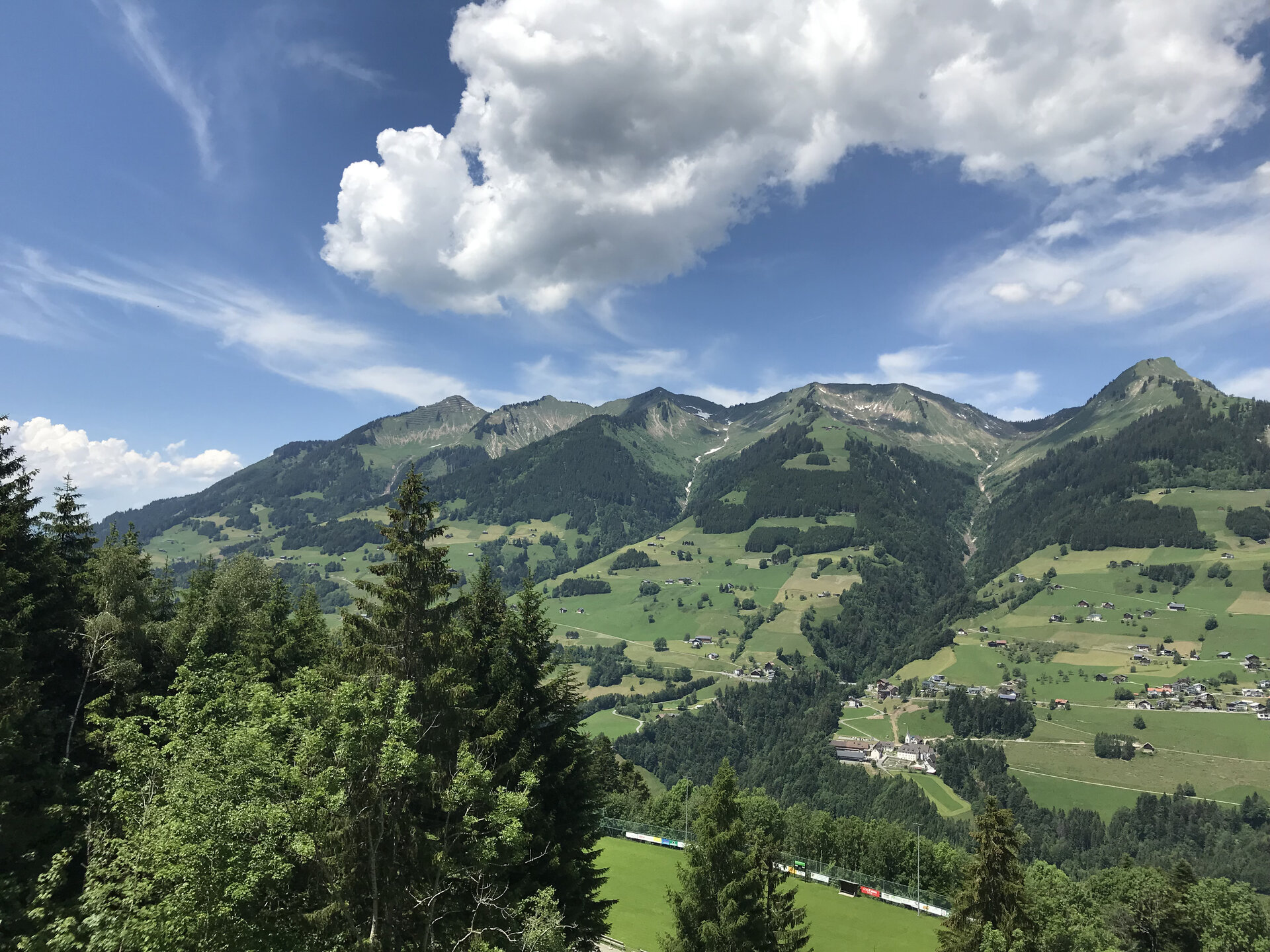
An easy hike for the whole family across flower-strewn meadows (especially in early summer) and always with a view of the Walserkamm on the opposite side of the valley.

01:15 h duration
4,41 km Length
1109 m Highest point
1011 m Lowest point
98 m Ascent
95 m Descent
Condition
Difficulty
Result
Landscape
Public transport

Bus line 575 to "Raggal Abzweigung"

Timetable information online at www.vmobil.at

Parking

Community center or Walserhalle Raggal

Directions

Raggal church - Lärchenhof - Wiesweg - Ludescherberg - return via the same path or alternatively via the asphalt road - Raggal church

Safety instructions

EMERGENCY CALL

140 Alpine emergencies Austria-wide

144 Alpine emergencies Vorarlberg

112 Euro-emergency call (works with any mobile phone/network)

www.alpenregion-vorarlberg.com/sicherheitstipps-wandern

Equipment

Ankle-high hiking boots with treaded soles, sun and rain protection, snack, filled water bottle and first aid kit, hiking poles are recommended. Mobile phone in case of emergency.

Destination

Church, Raggal

Starting Point

Church, Raggal

Safety in the mountains

EN NOTRUF:

EN 140 - Alpine Notfälle österreichweit 

EN 144 - Alpine Notfälle Vorarlberg 

EN 112 - Euro-Notruf (funktioniert mit jedem Handy/Netz) 

Characteristics
Tour type Hiking trail
Difficulty Easy
Start Bus stop - Abzweigung
Finish Bus stop - Abzweigung
Elevation profile
Best time of year
Jan
Feb
Mar
Apr
May
Jun
Jul
Aug
Sep
Oct
Nov
Dec