Via Fatnella Alpe to Fontanella ​|​ Fontanella​-​Faschina

Moderate
Panoramic
From A to B
Hiking trail

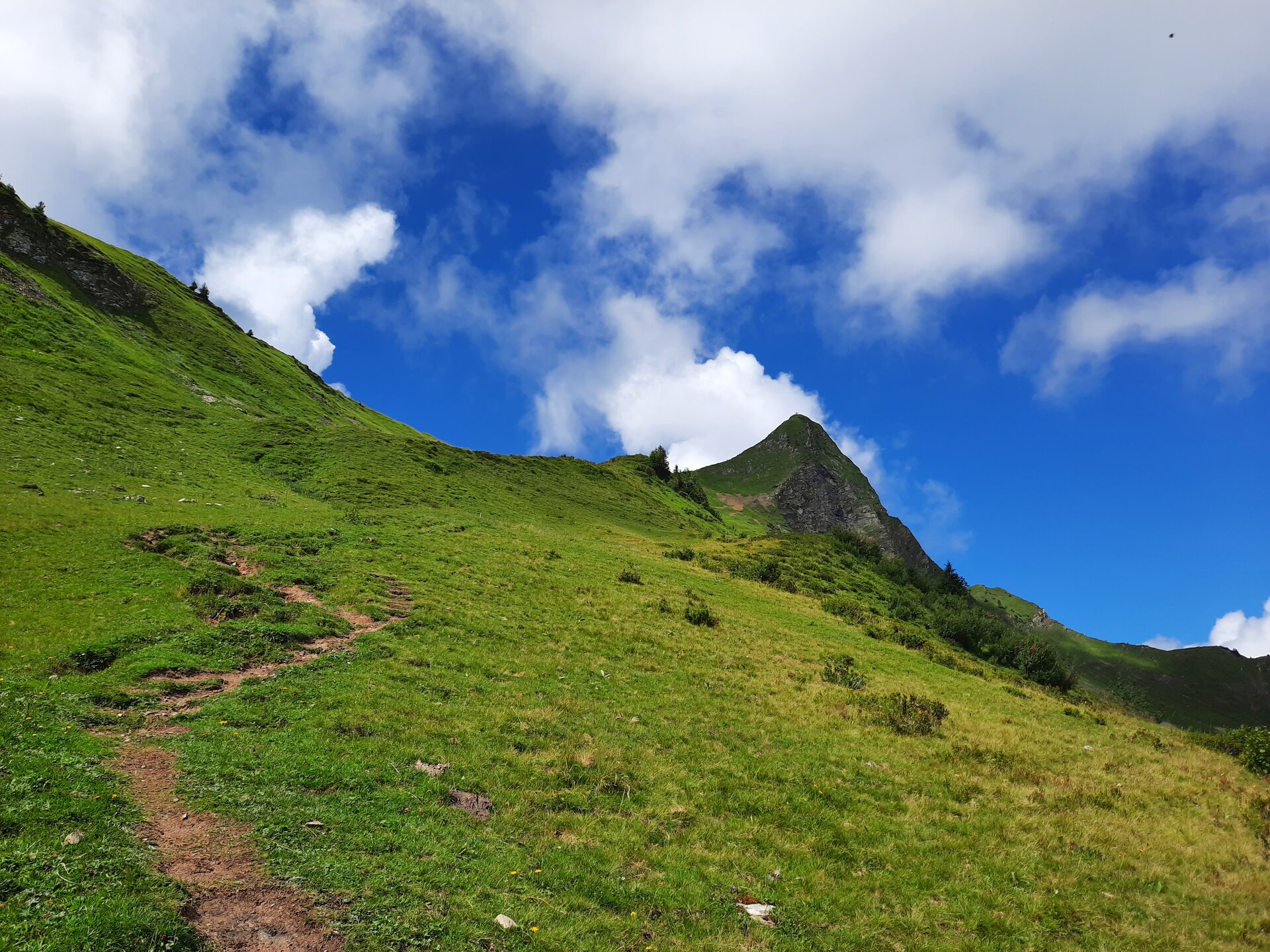
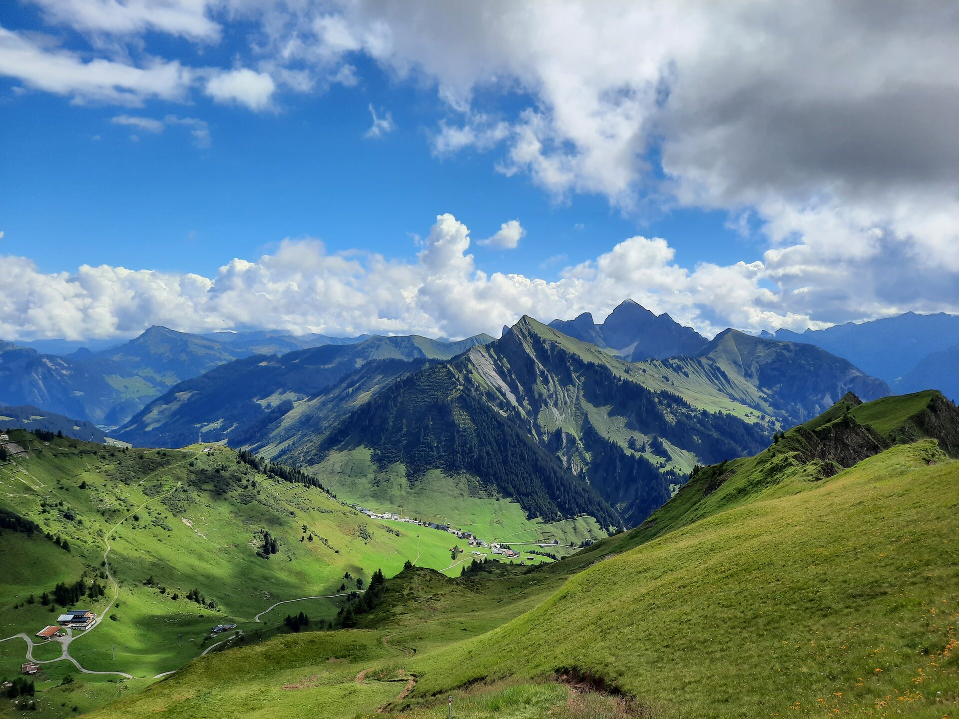
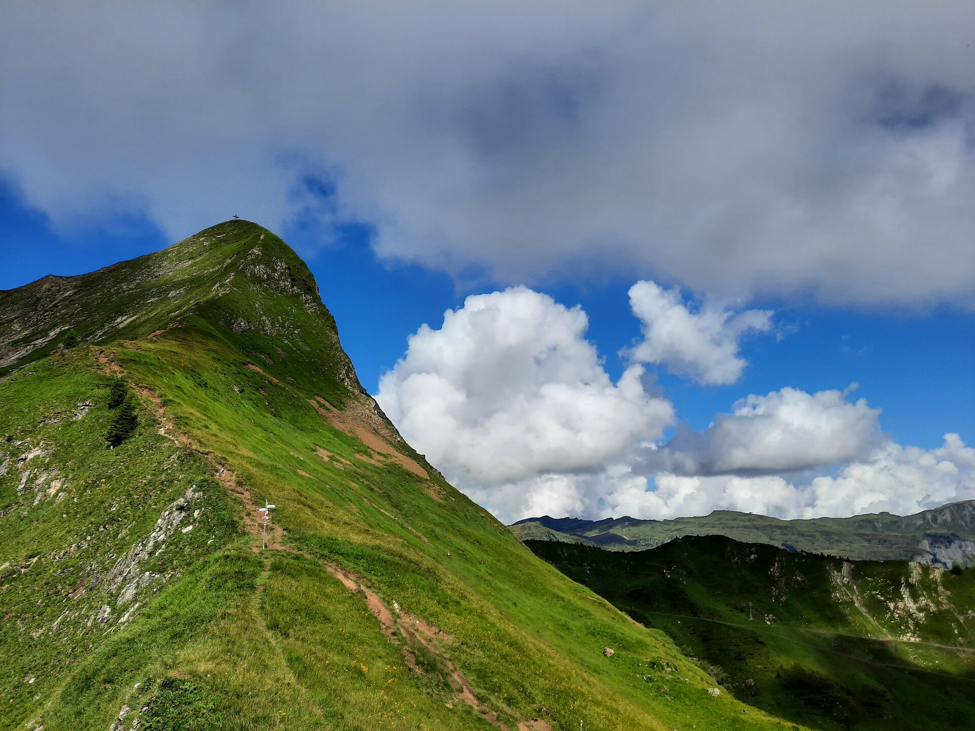
Leisurely hike from Faschina over the Fatnella Alpe to Fontanella.
03:30 h duration
7,47 km Length
1992 m Highest point
1143 m Lowest point
506 m Ascent
849 m Descent
Condition
Difficulty
Result
Landscape
Public transport

Bus line 570, stop Faschina/Passhöhe

Timetable request online at www.vmobil.at

Parking

Parking lot at Faschinajoch

Directions

Faschinajoch - Staffel Alpe - Franz-Josef-Hütte - Fatnella Alpe - Fontanella - bus line 570 back to Faschina

Safety instructions

EMERGENCY CALL

140 Alpine emergencies Austria-wide

144 Alpine emergencies Vorarlberg

112 Euro-emergency call (works with any mobile phone/network)

www.alpenregion-vorarlberg.com/sicherheitstipps-wandern

Equipment

Ankle-high mountain boots with tread sole, sun and rain protection, snack, filled water bottle and first aid kit. Cell phone for emergencies.

Destination

Village center, Fontanella

Starting Point

Parking lot at the Faschinajoch, Faschina

Safety in the mountains

EN NOTRUF:

EN 140 - Alpine Notfälle österreichweit 

EN 144 - Alpine Notfälle Vorarlberg 

EN 112 - Euro-Notruf (funktioniert mit jedem Handy/Netz) 

Characteristics
Tour type Hiking trail
Difficulty Moderate
Start Bushaltestelle - Passhöhe/ Seilbahn
Finish Bushaltestelle - Dorfzentrum
Elevation profile
Best time of year
Jan
Feb
Mar
Apr
May
Jun
Jul
Aug
Sep
Oct
Nov
Dec