Mountain hut hike Damüls-Mellau-Faschina - Part 1
Hiking trail
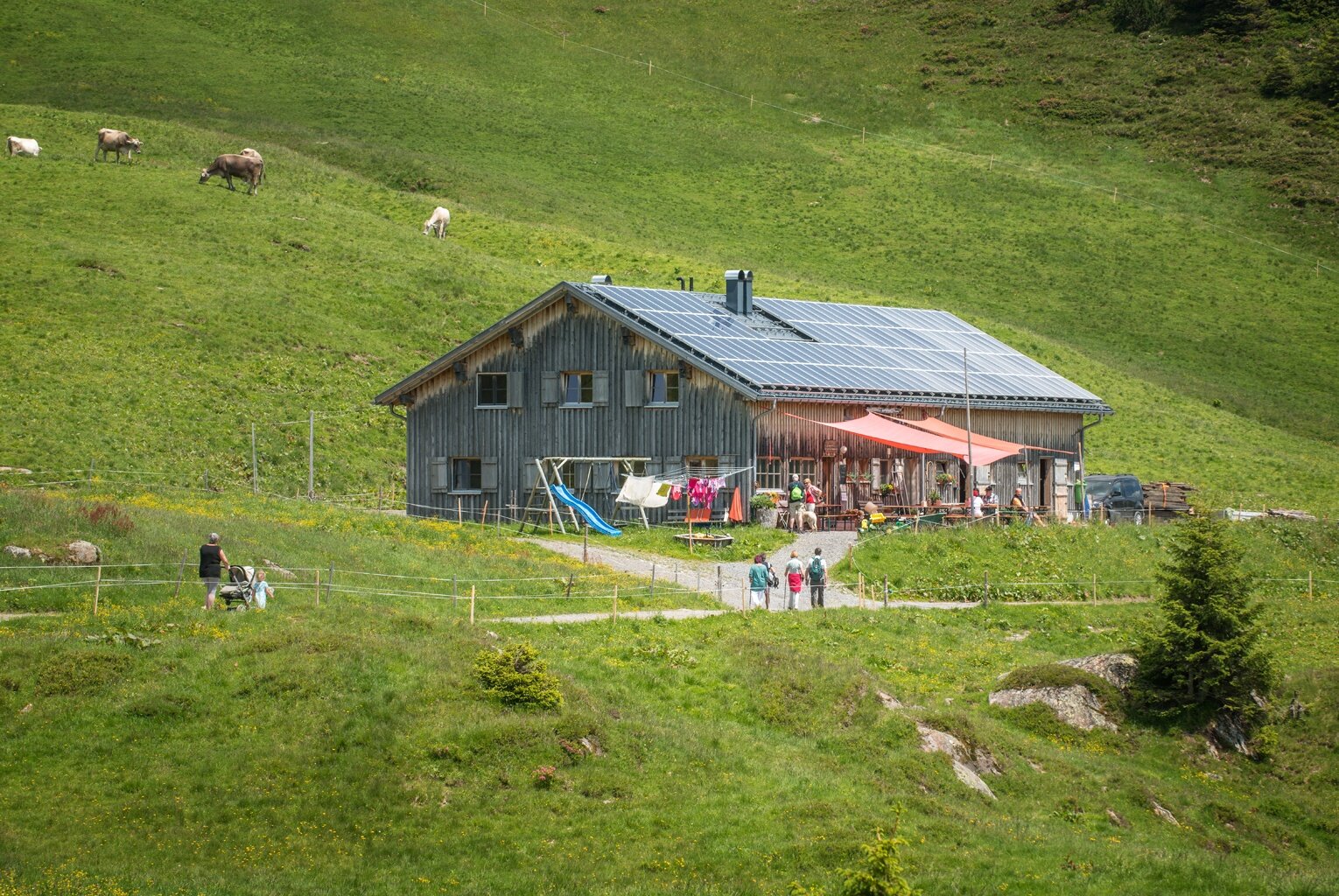
· Damüls
Kirchdorf Damüls - Alpe Oberdamüls - Stofel Kapelle - Alpe Unterdamüls - Türtschalpe


