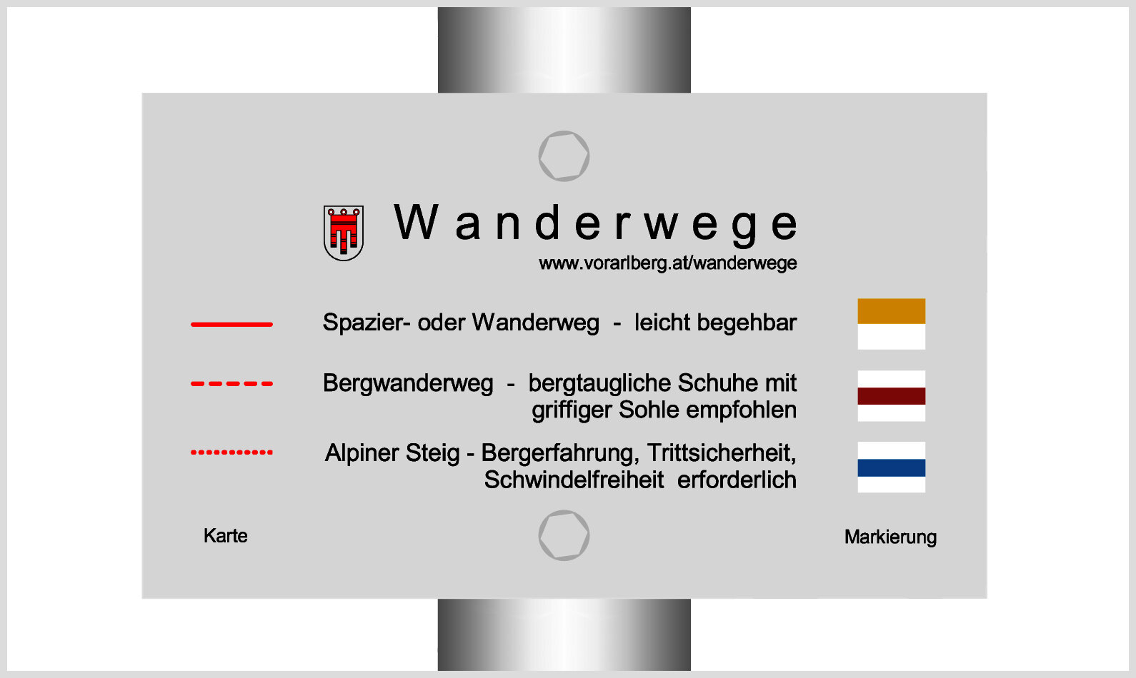
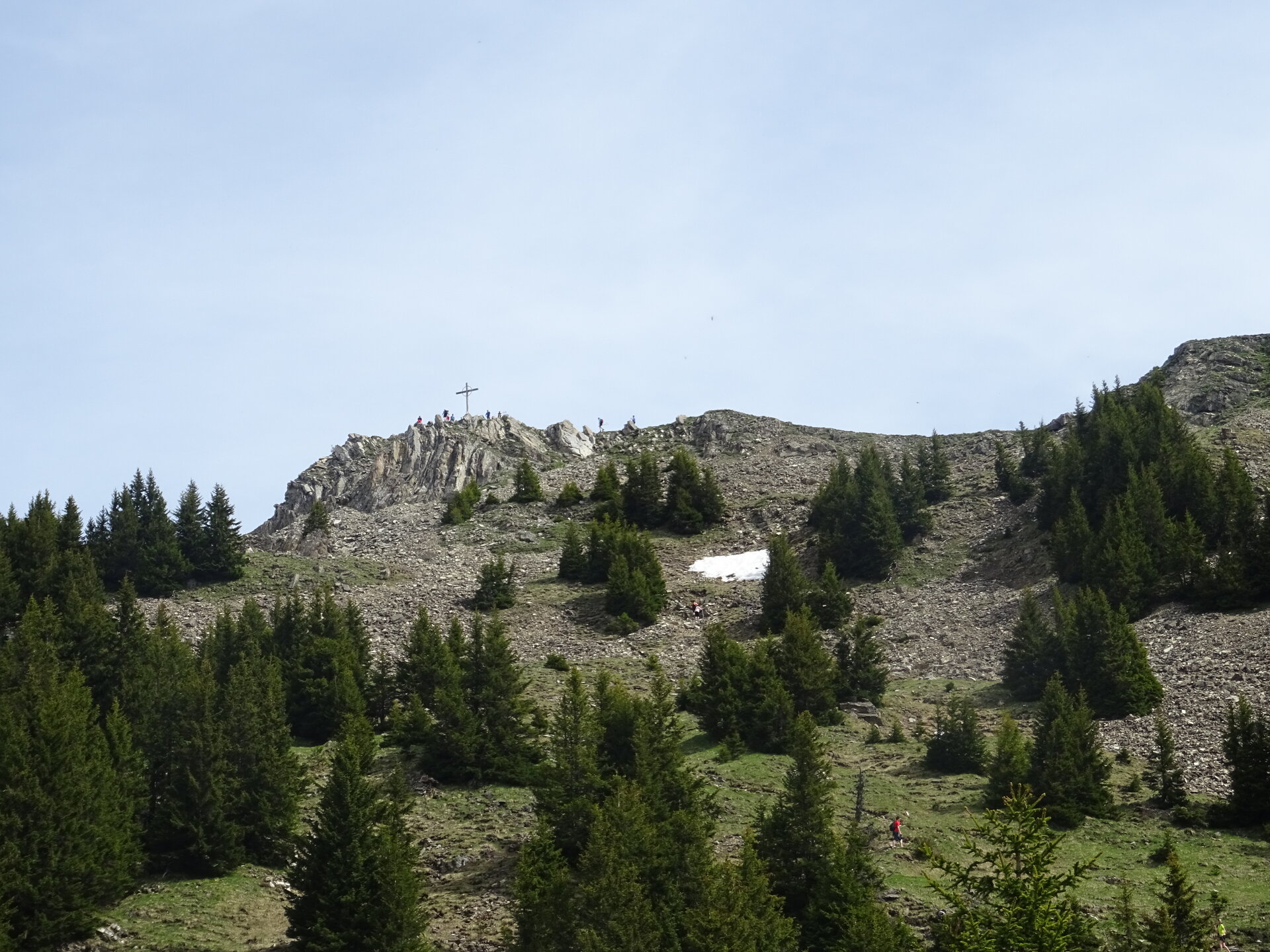
Hochgerach 1​-​985 m ​|​ Thüringerberg

Hard
Panoramic
Summit tour
Ridge
Round trip
Mountain Hike · Thüringerberg

The Hochgerach is the second highest mountain of the Walserkamm and a worthwhile peak.

06:15 h duration
15,4 km Length
1968 m Highest point
867 m Lowest point
1109 m Ascent
1145 m Descent
Condition
Difficulty
Result
Landscape
Public transport

Bus line 570, stop "Thüringerberg Gemeindezentrum"

Timetable information at www.vmobil.at

Parking

Public parking lot in Thüringerberg

Directions

Thüringerberg - Außerberg - Kapiescha - Innere Alpila Alpe - Hochgerach - hiking trail via Äußere Alpila Alpe - Gampelin Alpe - Außerberg - Thüringerberg

Safety instructions

EMERGENCY CALL

140 Alpine emergencies Austria-wide

144 Alpine emergencies Vorarlberg

112 Euro-emergency call (works with any mobile phone/network)

www.alpenregion-vorarlberg.com/sicherheitstipps-wandern

Equipment

Ankle-high hiking boots with treaded soles, sun and rain protection, snack, filled water bottle, first aid kit and hiking poles are recommended. Mobile phone in case of emergency.

Tips

This tour requires a head for heights and surefootedness, but the mountain panorama is breathtaking.

The hike up the Hochgerach can also be started from the mountain station of the Schnifis cable car and is then correspondingly shorter.

Destination

Village center, Thüringerberg

Starting Point

Village center, Thüringerberg

Safety in the mountains

EN NOTRUF:

EN 140 - Alpine Notfälle österreichweit 

EN 144 - Alpine Notfälle Vorarlberg 

EN 112 - Euro-Notruf (funktioniert mit jedem Handy/Netz) 

Characteristics
Tour type Mountain Hike
Difficulty Hard
Start Pfarrkirche Hl. Apostel Andreas
Finish Pfarrkirche Hl. Apostel Andreas
Elevation profile
Best time of year
Jan
Feb
Mar
Apr
May
Jun
Jul
Aug
Sep
Oct
Nov
Dec