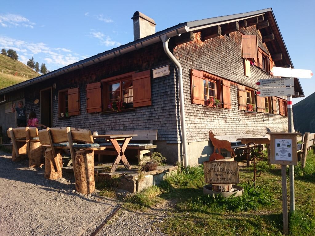
To the alp Unterdamüls | Damüls

Easy
Refreshments
Family-friendly
Stroller-friendly
There and back
Hiking trail · Damüls

Damüls Kirchdorf - Alpe Unterdamüls - Damüls Kirchdorf

02:00 h duration
5,57 km Length
1507 m Highest point
1426 m Lowest point
180 m Ascent
180 m Descent
Condition
Technique
Difficulty
Result
Landscape

Tour description

A relaxing hike from the village to the Alpe Unterdamüls. Depending on your mood, you can either return the same way or take the slightly longer route via the Jägerstüble inn and Alpe Oberdamüls back to the village. This hike is also recommended on gray days.

Public transport

www.vmobil.at - Bus from Au line 851 or bus from Thüringen line 570

Parking

At the car park Damüls Kirchdorf

Tips

Having a stop at the Alpe Unterdamüls.

Literature

Hiking map of Damüls Großes Walsertal at a scale of 1:35,000, available at the Damüls tourist office as well as in local hotels.

Destination

Damüls Kirchdorf

Starting Point

Damüls Kirchdorf

Safety instructions

EMERGENCY CALL

140 Alpine emergencies Austria-wide

144 Alpine emergencies Vorarlberg

112 Euro-emergency call (works with any mobile phone/network)

www.alpenregion-vorarlberg.com/sicherheitstipps-wandern

Sicherheitstipps für Wandern in Vorarlberg

EN NOTRUF:

EN 140 - Alpine Notfälle österreichweit 

EN 144 - Alpine Notfälle Vorarlberg 

EN 112 - Euro-Notruf (funktioniert mit jedem Handy/Netz) 

Characteristics
Tour type Hiking trail
Difficulty Easy
Start Dorfladen grocery store
Finish Dorfladen grocery store
Elevation profile
Best time of year
Jan
Feb
Mar
Apr
May
Jun
Jul
Aug
Sep
Oct
Nov
Dec