Around the Breithorn | Raggal-Marul
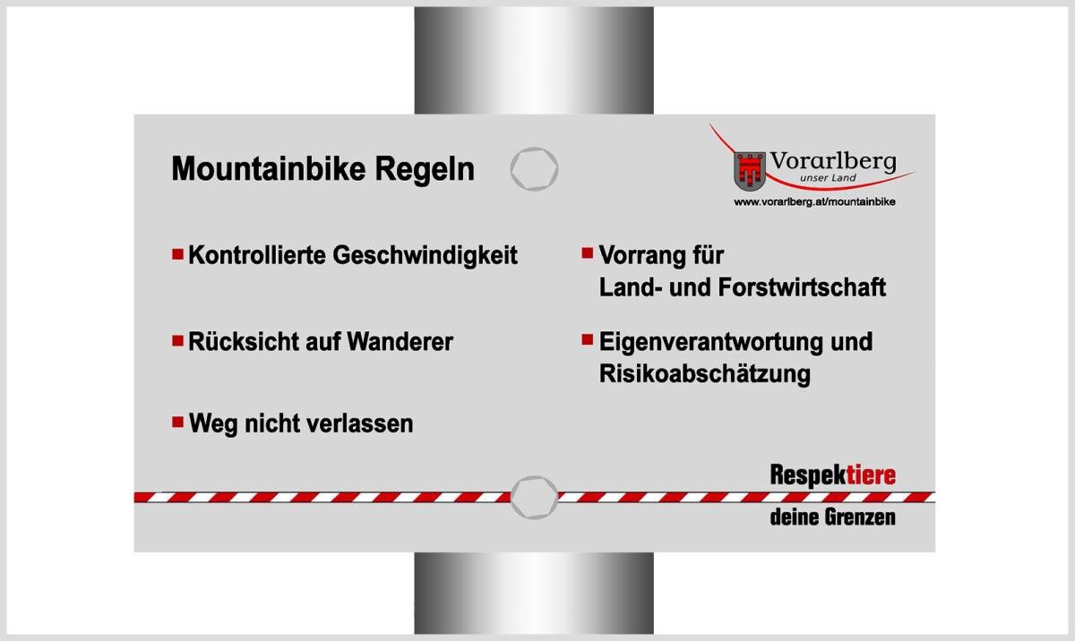
Mountain bike
· Raggal
From alp to alp by mountain bike and the simultaneous circumnavigation of the center of Vorarlberg - makes this tour a highlight.