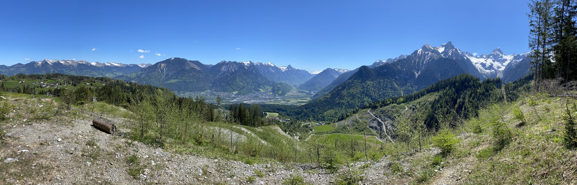
Tour description
The start of this tour is at the valley station of the Loischkopfbahn. From here, this hike leads past the car parks up to the alpine pasture and continues along the goods path to Rufana Alp. Alternatively, you can also start from the hikers car park (P3) in the direction of Rufana Alp.
After Rufana Alp, the trail branches off to the right at the barrier and leads uphill through a very beautiful section of forest. After the Schesatobel view point, the trail leads along old walls and over boardwalks up to the Bürser Skihütte (ski hut), where you cross the main road and follow the hiking trail next to the BERGRESTAURANT FUCHSBAU in the direction of the Loischkopfbahn middle station. Before you get there, follow the path in the direction of the Burtschasattel.
Here the trail continues uphill along a beautifully laid out meadow and forest path, partly on boardwalks. Pass Alpe Klampera, which is no longer farmed, and climb the last short stretch to Burtschasattel/Restaurant Frööd/mountain station Panoramabahn. Return via the same path or along the goods path in the direction of Burtscha Alpe and from there continue to the BERGRESTAURANT FUCHSBAU and back to the starting point.