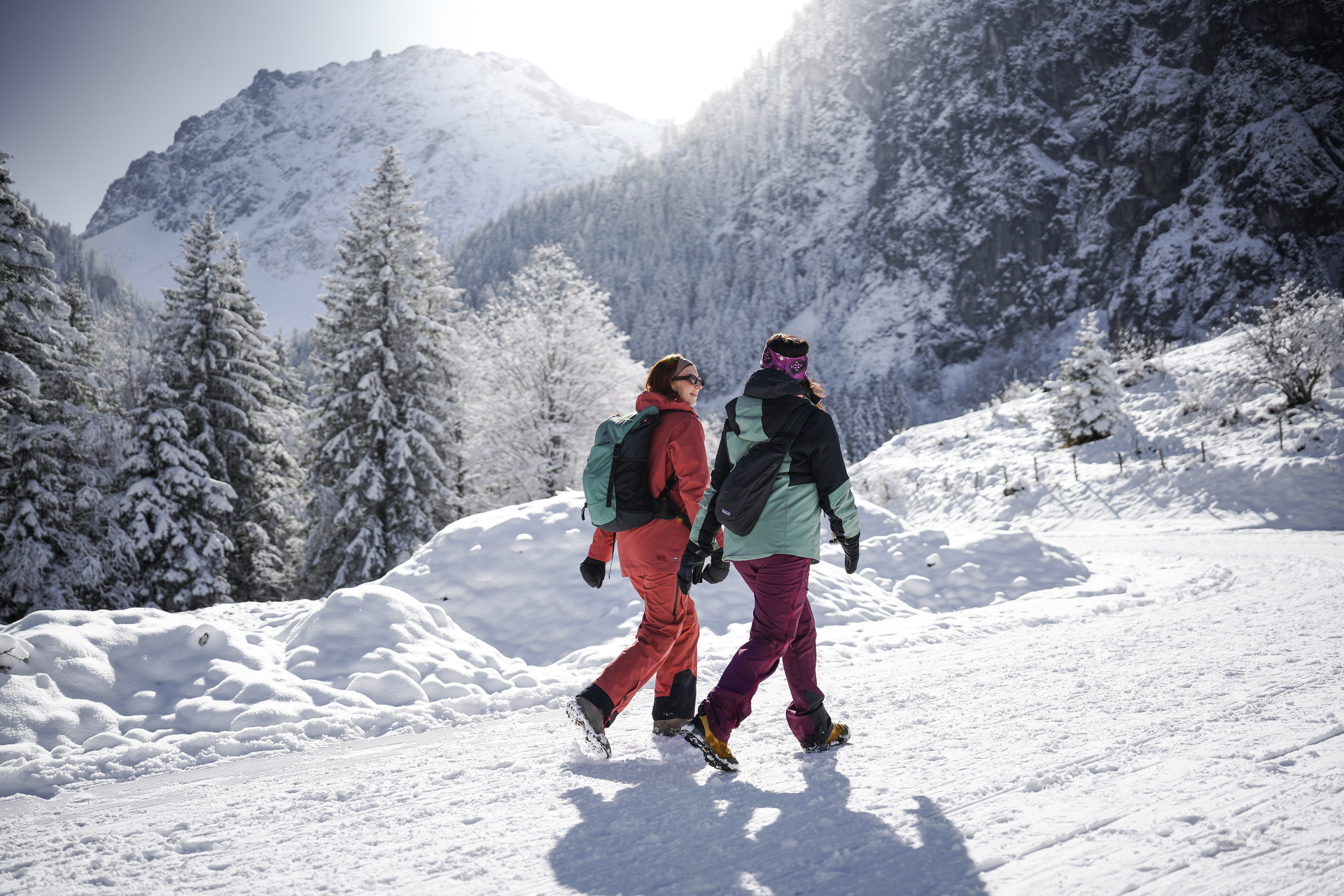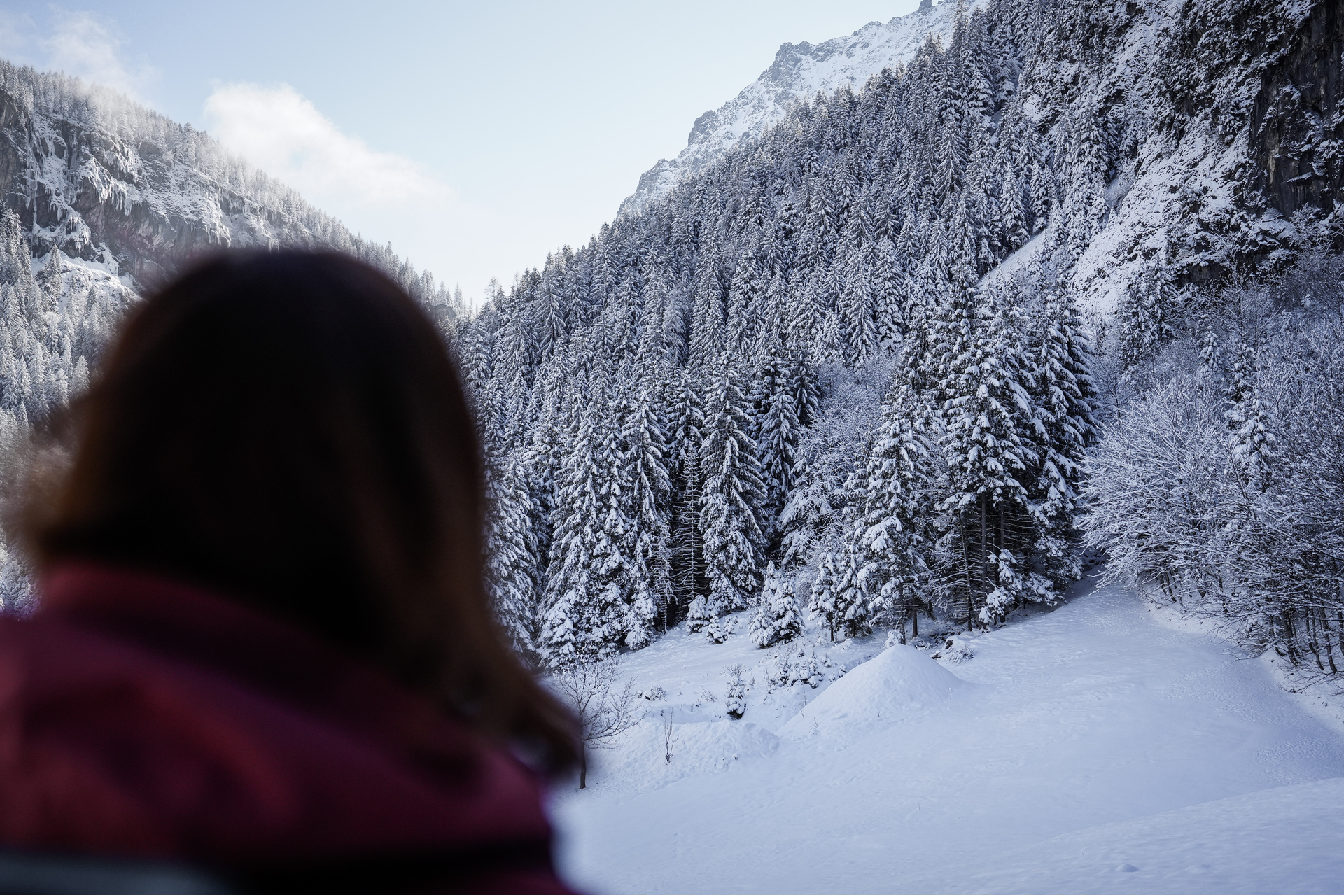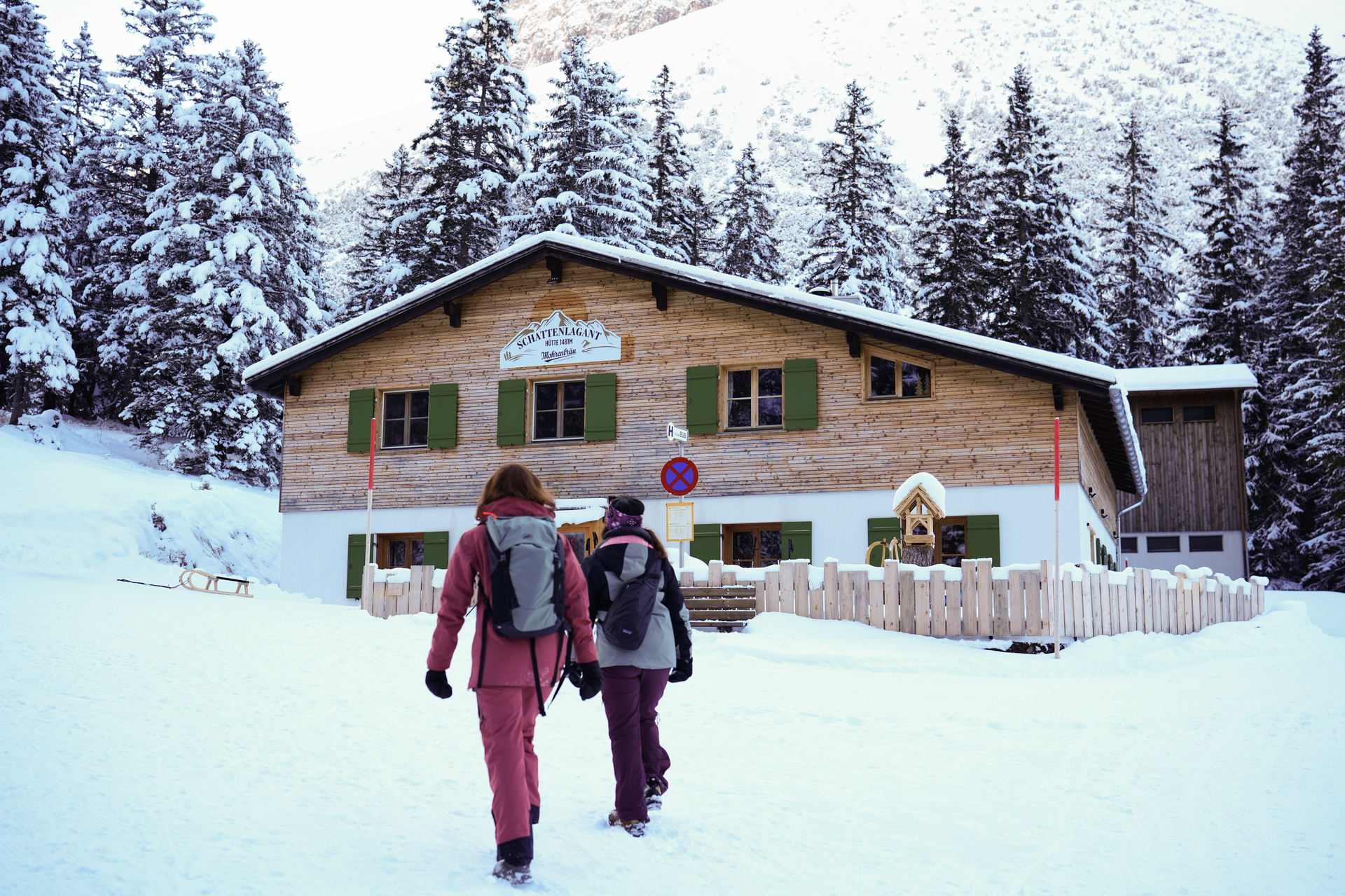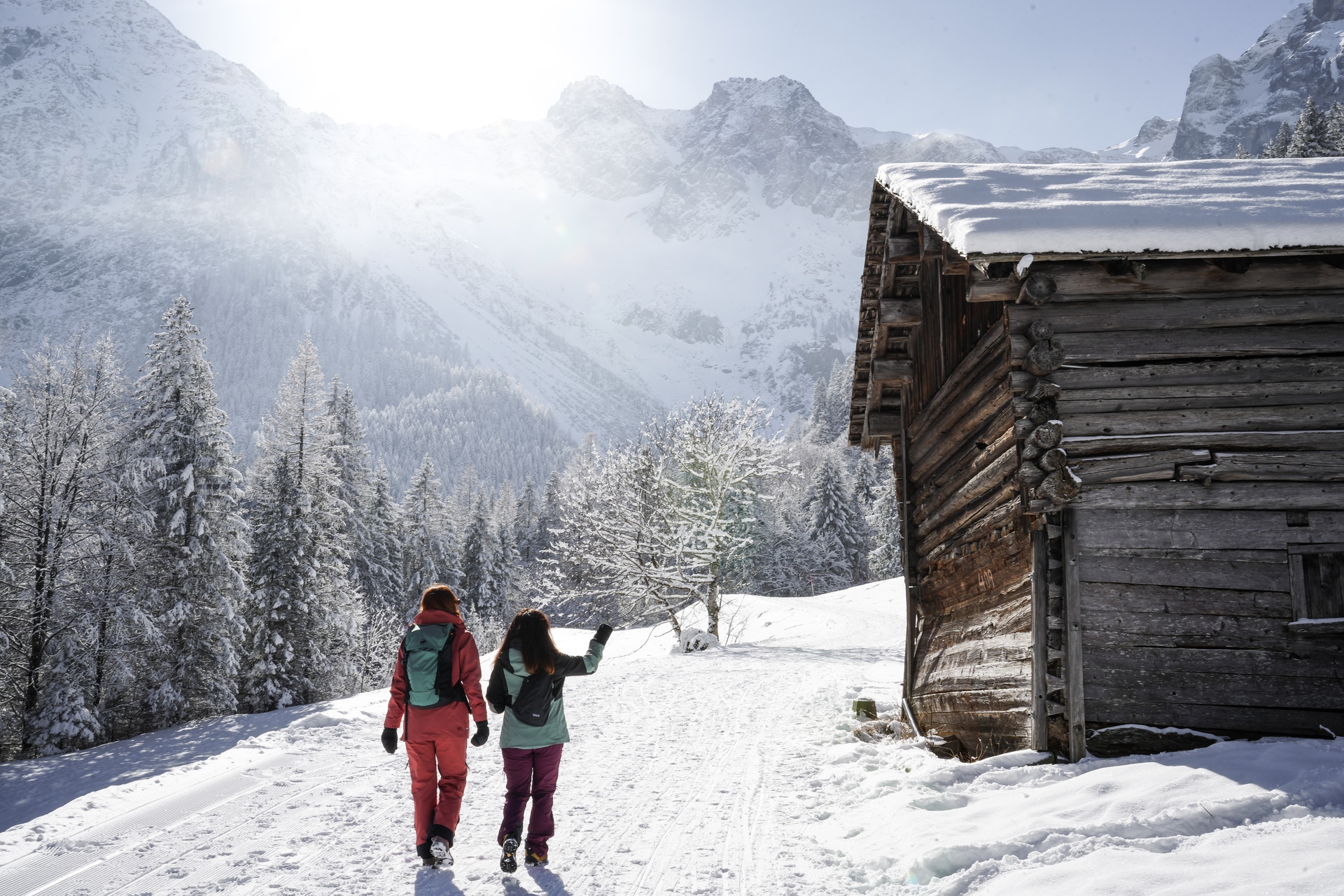
Schattenlagantweg | Brand
Winter hiking
· Brand
Very beautiful winter hike to the idyllically situated Schattenlaganthütte.