Tour description
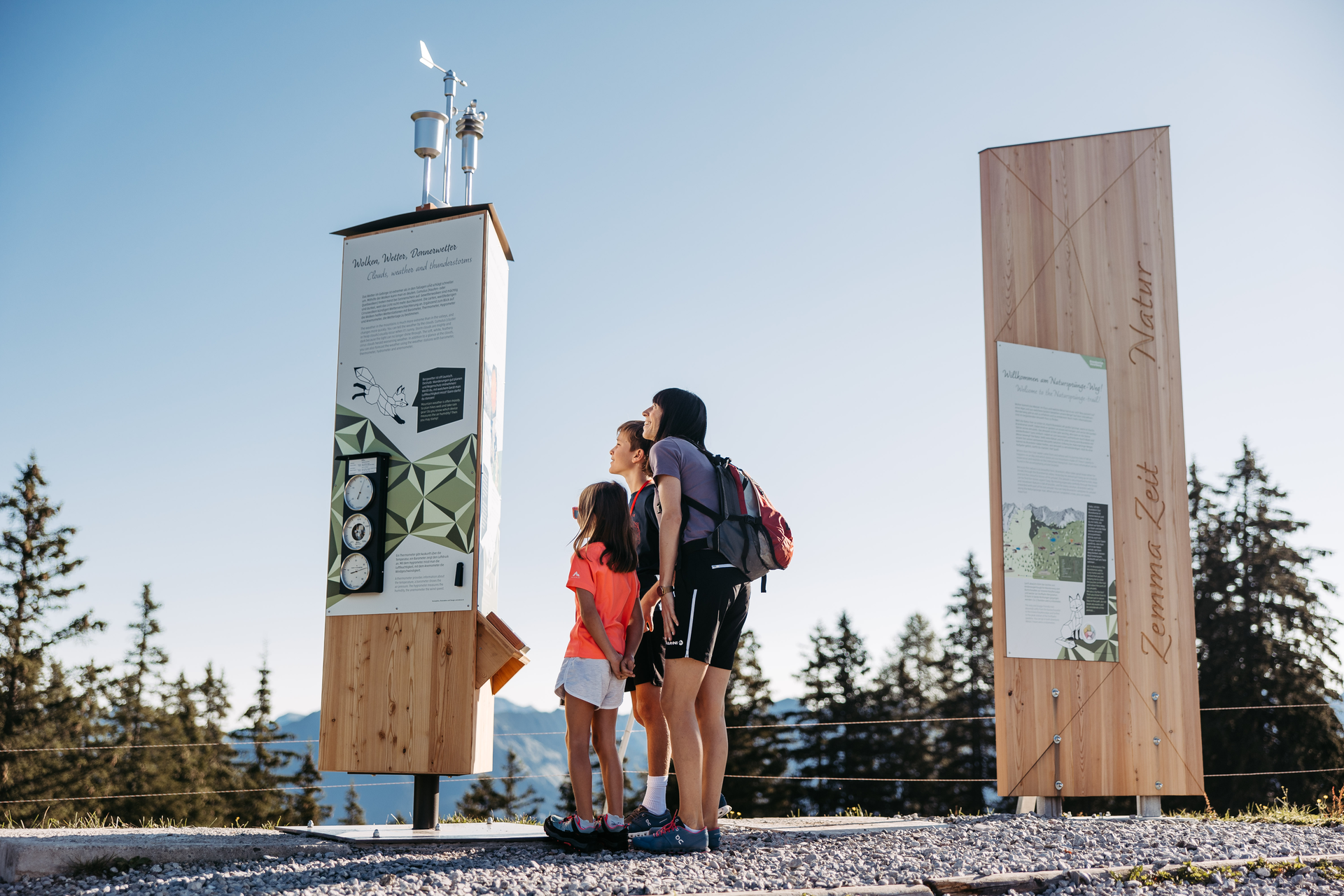
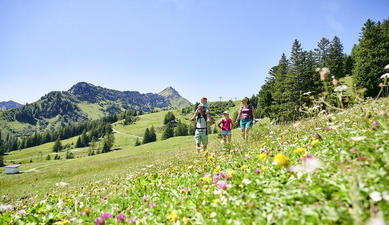
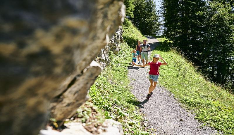
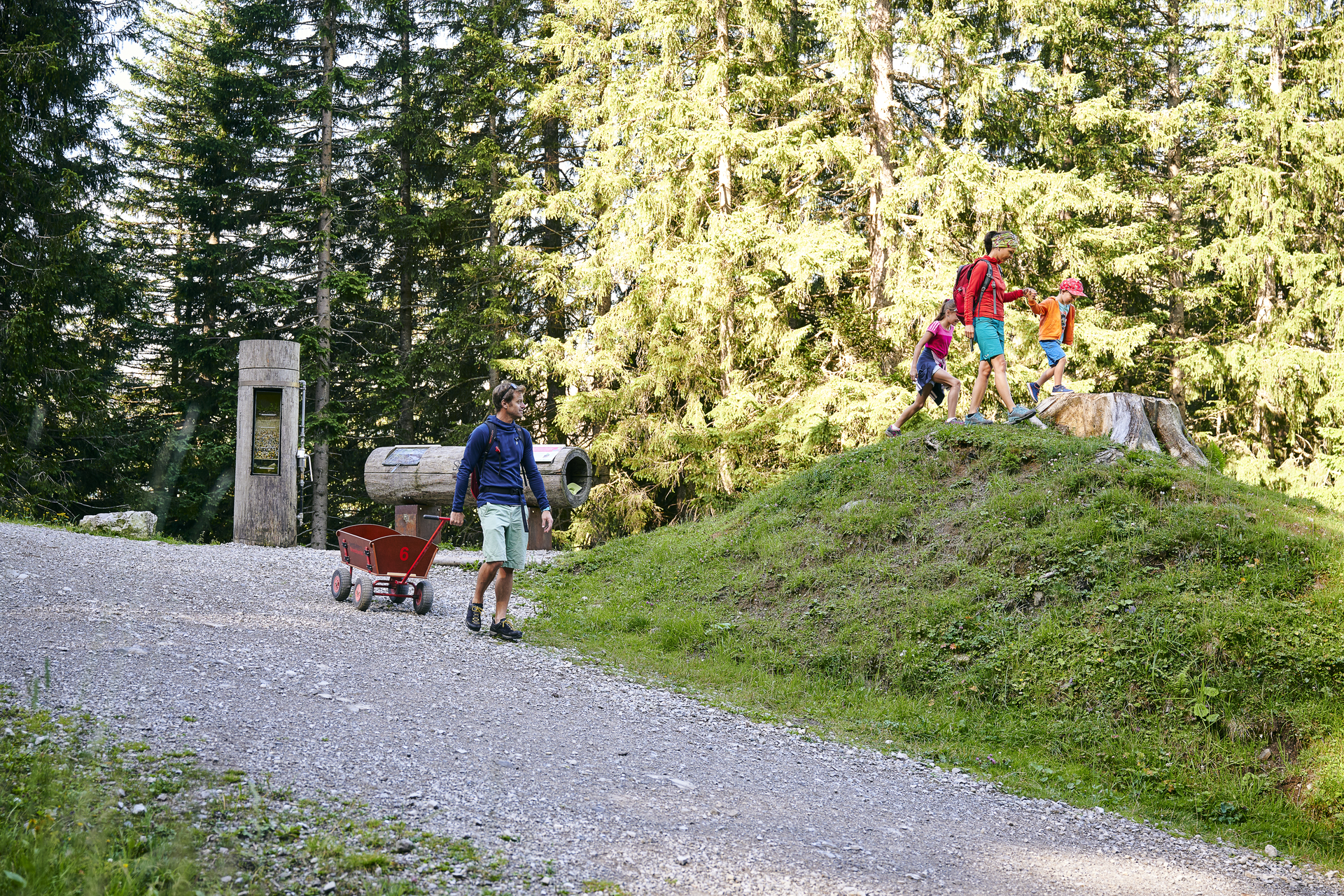
On the new Natursprünge-Weg (trail), there is plenty to discover, marvel at, and experience for the whole family. Spend your valuable time together in the place where it is most beautiful: in the nature of the Brandnertal valley. Along this interactive hiking trail, you will playfully learn something new and exciting together at various stations, all about the forests and waters of the Alps. In short, you will uncover secrets of alpine nature and its inhabitants that you will be talking about for a long time to come.
Take the Dorfbahn Brand cable car to the starting point at the Dorfbahn mountain station. From there, the trail leads uphill past the Tannlegerlift in the direction of Parpfienzsattel. At Parpfienzsattel, the path branches off to the right toward Burtschasattel, bringing you to the mountain station of the Panoramabahn. You then float back down into the valley on the Panorama and Dorfbahn cable cars. The trail can also be walked in the opposite direction, which makes it a bit easier as it is mostly downhill.
Summer
Walking time / distance: approx. 2 hours / 4 km
Refreshment stops: Restaurant Frööd, Alpe Parpfienz
Especially for families: Suitable for strollers, handcart rental available (EUR 15 plus deposit), nature playground at Restaurant Frööd
Especially for families with toddlers/strollers: Start at the Panoramabahn mountain station, as the trail is easier in this direction.
Winter
Walking time / distance: Outward: approx. 2 hours, Return: approx. 1½ hours / 4 km
Refreshment stop: Restaurant Frööd
Difficulty: Moderate
Young and old alike can enjoy the Natursprünge-Weg in winter as well. Even though the stations cannot be visited during winter due to weather conditions, it is still a beautiful winter hike with an impressive mountain panorama.