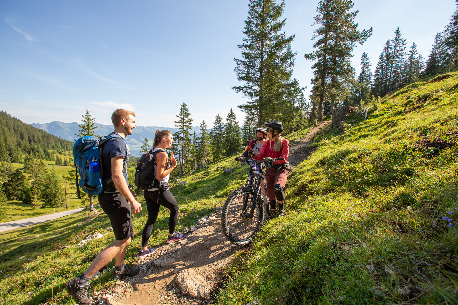
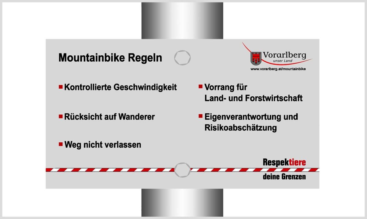
Tour description
CLOSED from 1st April to 15th June every year due to the capercaillie protection plan.
The drive to Loischkopf is relatively easy and leads mostly on roads and forest roads through the Brandnertal.
The mountainbike tour leads from the church in Bürserberg in the direction of Brandnertalstraße.
Before you reach Brandnertalstraße, keep right and drive uphill on a narrow road in the direction of Tschengla.
At the parking lot of Loischkopfbahn, turn left before the bridge to Kohlgrubweg. After approx. 800 m continue on the left path.
At the „Burtscha" respectively BERGRESTAURANT FUCHSBAU turn right uphill towards Loischkopf. Passing under the Loischkopf you will now reach the Faregg.
At Faregg turn right onto „Alte Stattweg" downhill to the Ronaalpe. From the alp flat to the south and then down to the left.
Turn left at Dunza - slightly uphill to the stone circles of the high plateau Tschengla.
From Monteschil on asphalt over the Außerberg - back to the right.
Variants
The tour can also only be started from Bürserberg/Tschengla at Loischkopfbahn and/or shortened with the ascent with Loischkopfbahn.