High altitude hiking trail | Brand
Winter hiking
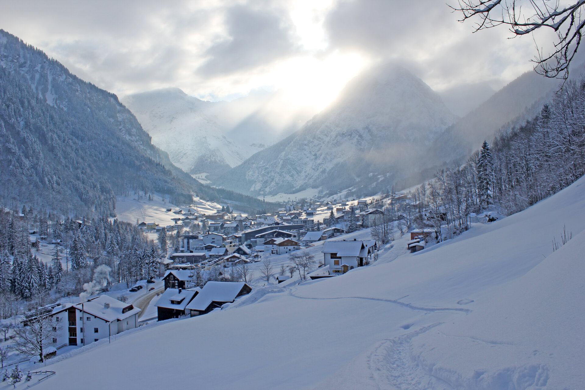
On the high hiking trail, which runs above the village, you have a beautiful view of Brand.