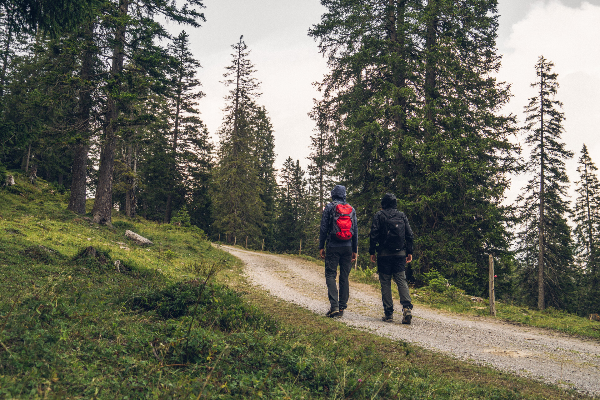
Furkla-Höhenweg l Bürserberg
Hiking trail
Below the Alpilakopf, the Schillerkopf and the Mondspitze, the path leads to the Furkla Alpe and offers a fabulous view of the mountains of the Rätikon.