
Bürser Schlucht
Natural wonder and a journey through time into the history of the earth
Detailed description
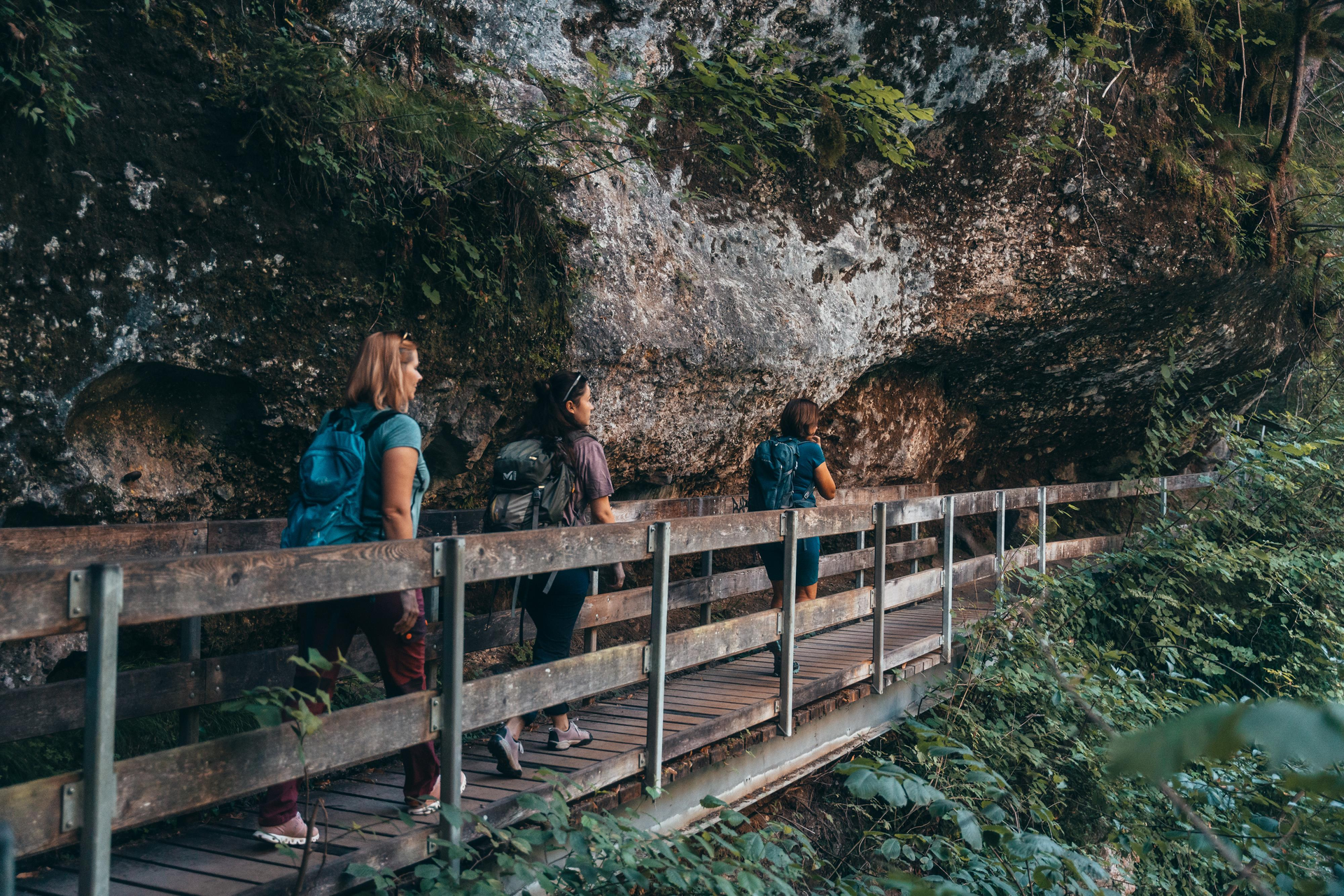
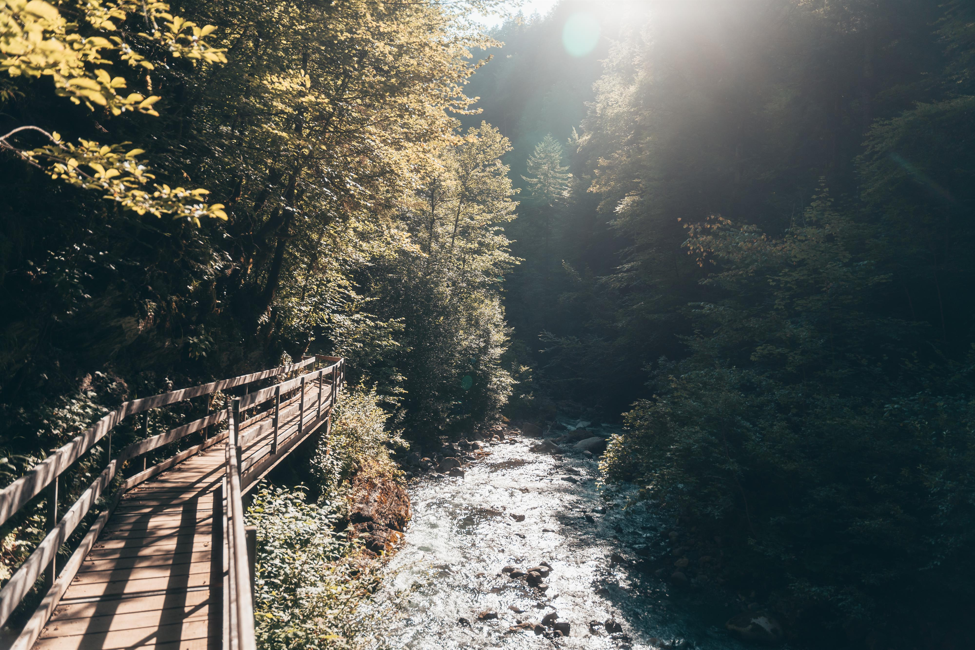
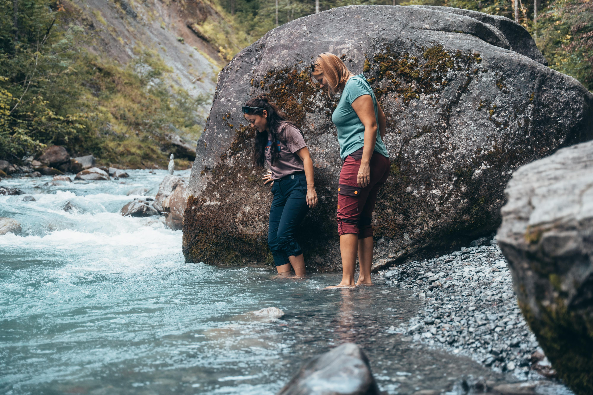
The Bürs Gorge is one of the most impressive natural landscapes in the Alps. Over thousands of years, the interplay of ice and water has formed a breathtaking gorge landscape, which creates a unique atmosphere with its almost primeval forest-like tree population.
After the retreat of the glaciers, the Alvier stream dug deep into its own gravel, creating today's gorge over the last 10,000 years. This natural monument provides fascinating insights into the recent history of the earth and is also a habitat for extraordinary flora and fauna.
A visit to the Bürs Gorge is a special experience - here geology, history and untouched nature merge into an impressive overall experience.
Length: 5 km
Walking time: 2 h
Refreshment stops: Inns in Bürs and Bürserberg
Arrival by public transport: Landbus L580, bus stop “Brand Palüdbahn”. The exact connections can be found at www.vmobil.at With the Brandnertal, Bludenz, Klostertal Guest Card and the Premium Guest Card, travel by public transport is free of charge.
Parking facilities: Parking lot behind the Bürs fire station
Address
Bürser Schlucht
6706 Bürs