Tour description
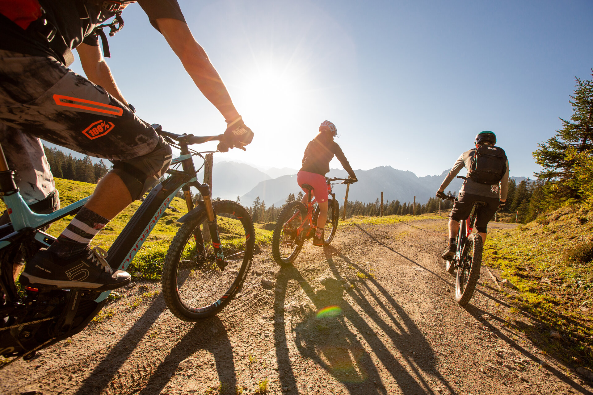
This challenging MTB tour starts in Bürs and leads along the country road towards Bürserberg/Brand. At the junction with the main road, cross it and ride on the old road via the district of Außerberg in the direction of Bürserberg. Once you reach Außerberg, follow the signposted MTB route in the direction of Hochplateau Tschengla or to the P3 car park. At the Tschengla plateau, take the Burtschaweg trail past the Burtscha Alpe up to the Burtschasattel. Here you can take a break at the Frööd restaurant with its fabulous views. From the Burtschasattel, the tour now takes you a short distance uphill towards the Parpfienzsattel and from there downhill via the Innere Parpfienzalpe to the mountain station of the Dorfbahn. From here, take numerous bends and hairpin bends along the Eggaweg trail to the centre of the municipality of Brand. Once you reach the valley floor, follow the main road out of the valley for a short while and turn right in the Galaferda district (shortly after the bridge) to the Alvierbach stream. The tour now leads you along the Alvierbach on the old road connection back to Bürs.
Variants
The tour can of course also be ridden in the opposite direction or started from Brand or Bürserberg.