Tour description
There are many hiking routes up to Muttersberg – some are easy, others more challenging. This route takes you through the small area of Laz and follows the old Muttersberg trail.
The hike starts at the Daneu Bridge. From there, cross the road and follow the Jakobsweg (St. James’ Way) across a large meadow towards Laz. Along the way, you’ll need to cross the main road twice. A short section also follows the road until you reach the turnoff onto a lovely forest trail.
This trail leads uphill to Laz and its small chapel. After Laz, you’ll walk along a meadow path back to the road, passing the former Gasthaus Schönblick (now closed). Continue on a flat forest path until you reach the entrance to the Muttersberg Bildweg. A bit further uphill, you’ll see another small chapel.
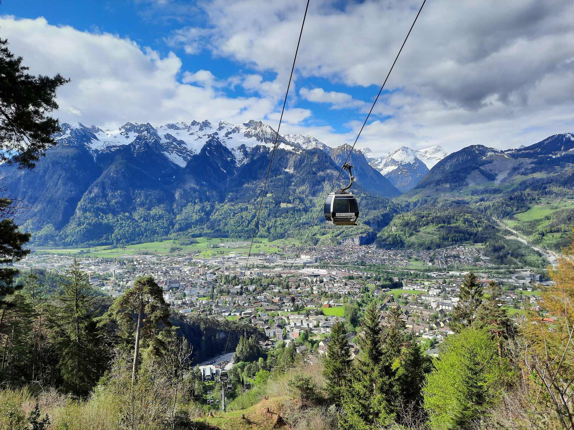
Just before the chapel, turn left into the forest. After crossing some meadows, you’ll arrive at the (closed) Muttersberg Inn. From there, continue left towards the cable car mountain station and the new Alpengasthof Muttersberg, which is a great place to take a break and enjoy a meal.
Tip:
If you prefer a more relaxed hike, you can also take the Panorama Trail – a wide gravel road with a gentle incline.