Tour description
The path through the natural monument "Bürser Schlucht" takes about 2 hours via the "Kuhloch" back to Bürs.
The "Bürser Konglomerat", through which the Alvierbach has carved the front part of the Bürser Gorge since the end of the last ice age, has become a geological technical term because of the occurrence so typical here. This rock form mainly occurs in the southern side valleys of the Rätikon. The "Stelleschroffen", which rises behind the church tower in Bürs, was formed by the bedload of the Alvierbach from the already ice-free Alvier valley - todays Brandnertal - into a marginal lake of the Ill glacier.
Through lime-like binders, the round-grained gravel solidified into conglomerate and remained as a rock face after the recession of the main glacier. Gneiss blocks, originating from the Ill glacier, were washed free by the Alvierbach stream at the bottom of the deposits. Moraines and gneiss blocks also lie on the plateaus of the "Schaß" (formerly Zerschaß - on the rock) and the "Spial", which were formed after the deposits. They are reliable witnesses of the interglacial formation of this landscape, which is extremely rare in the Alps.
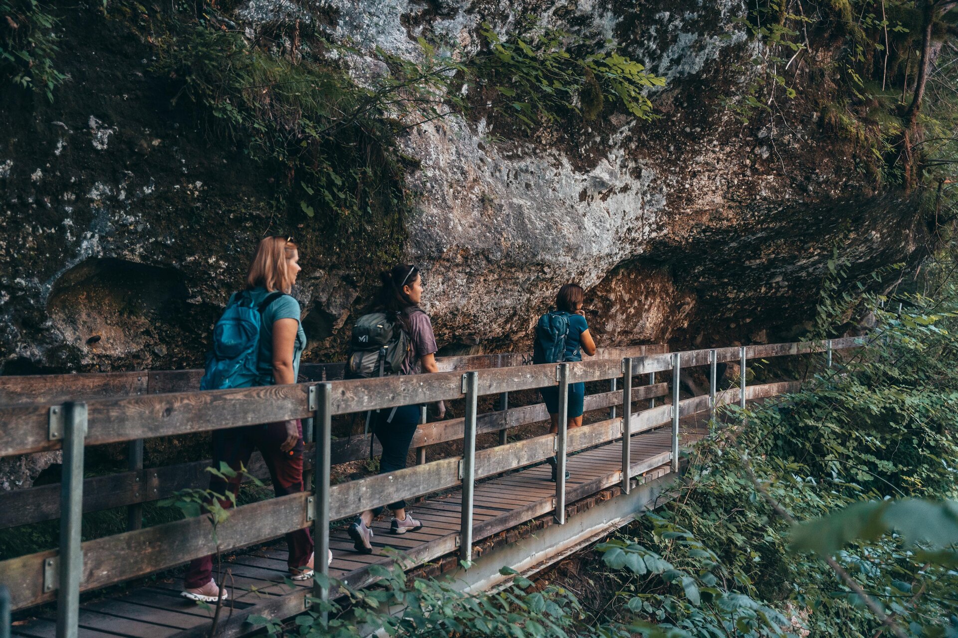
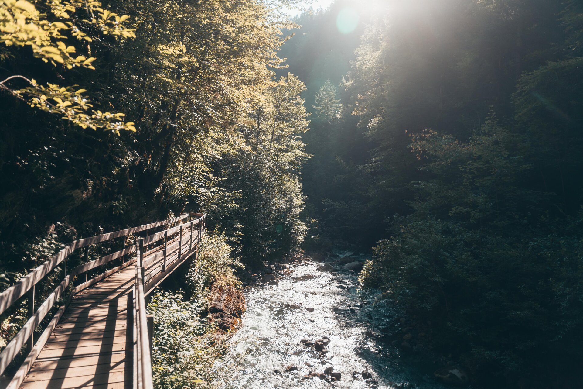
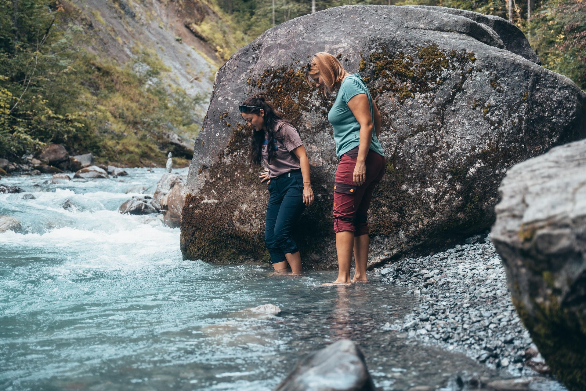
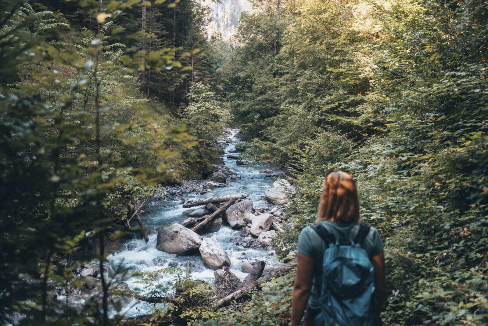
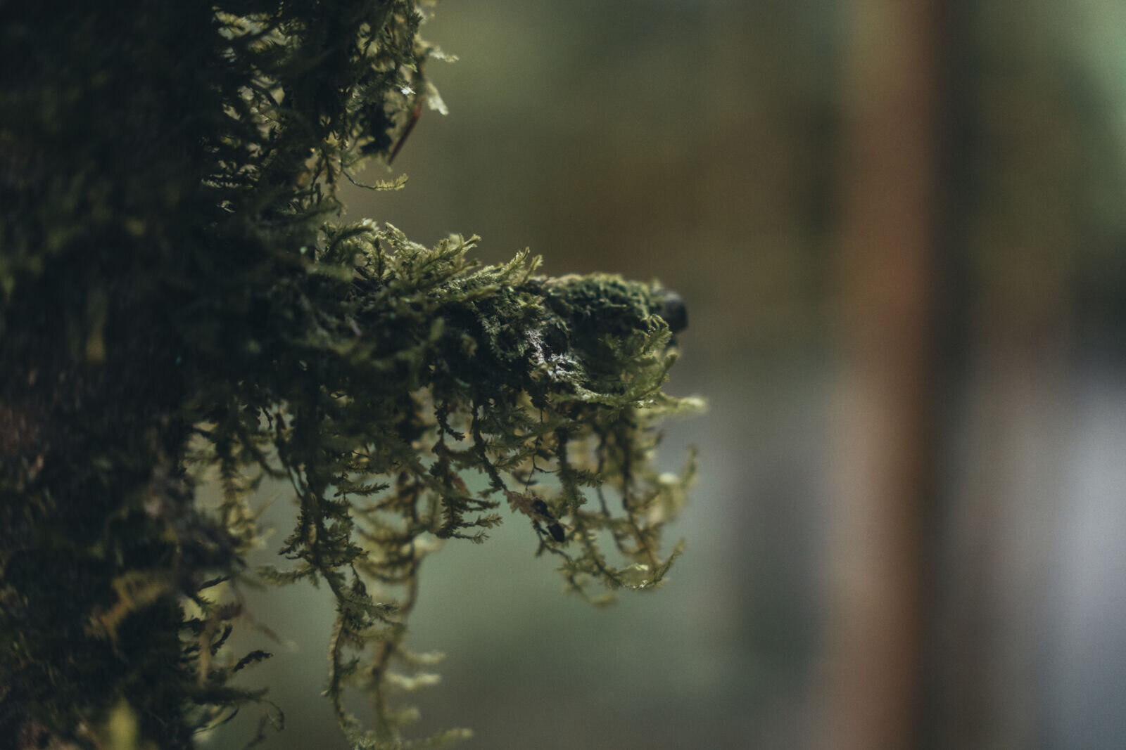
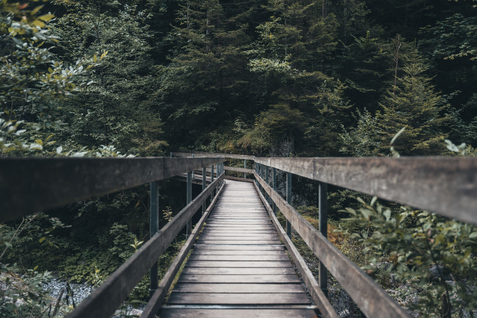
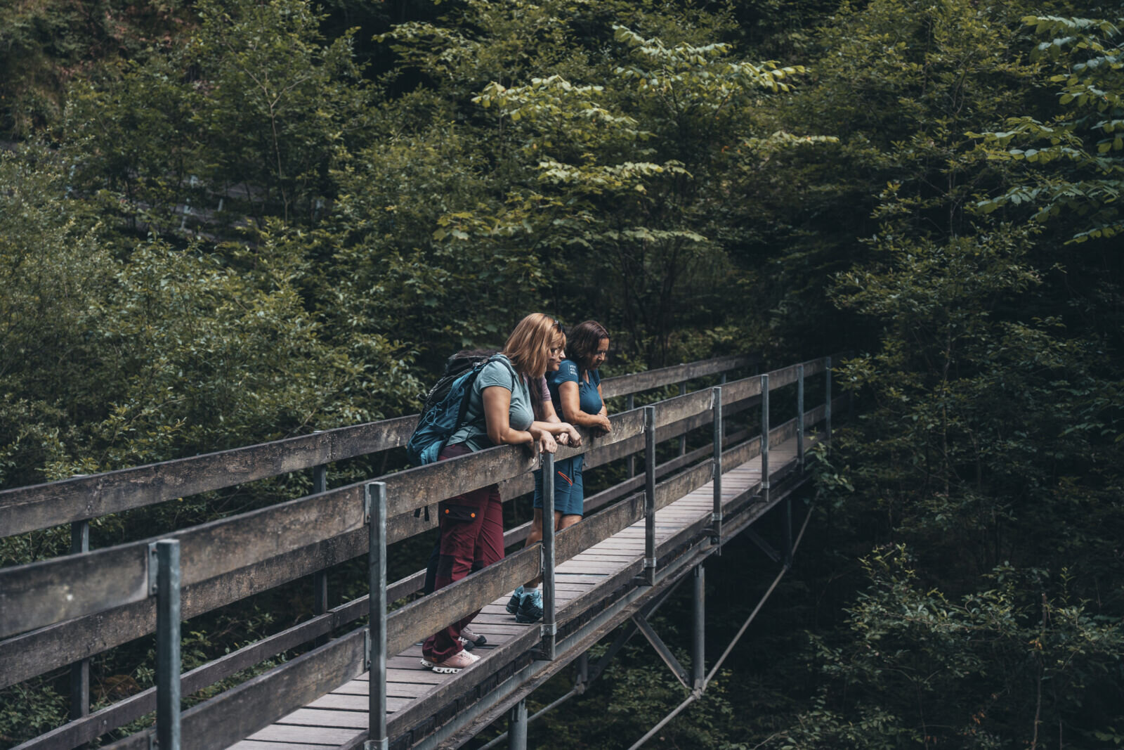
The Bürser Schlucht is a popular destination and ideal for family excursions. From the center of the village, the natural gorge trail leads through huge conglomerate blocks into the valley along the Alvierbach stream. Alternately, it goes back and forth over narrow bridges several times. The path turns and leads steeply up to the right, to the highest point of the tour. Here an ascent to Bürserberg would be possible (25 min). Downhill you reach a larch meadow via a wide path. As you continue, the path passes ripped open crevices in the ground. Finally, you reach the Kuhloch, a dry gorge dug into coarse gravel. Via a small forest path you return to Bürs.
The Bürser Gorge is closed during the winter. The Bürser Gorge reopened on April 29, 2026, and is now accessible.