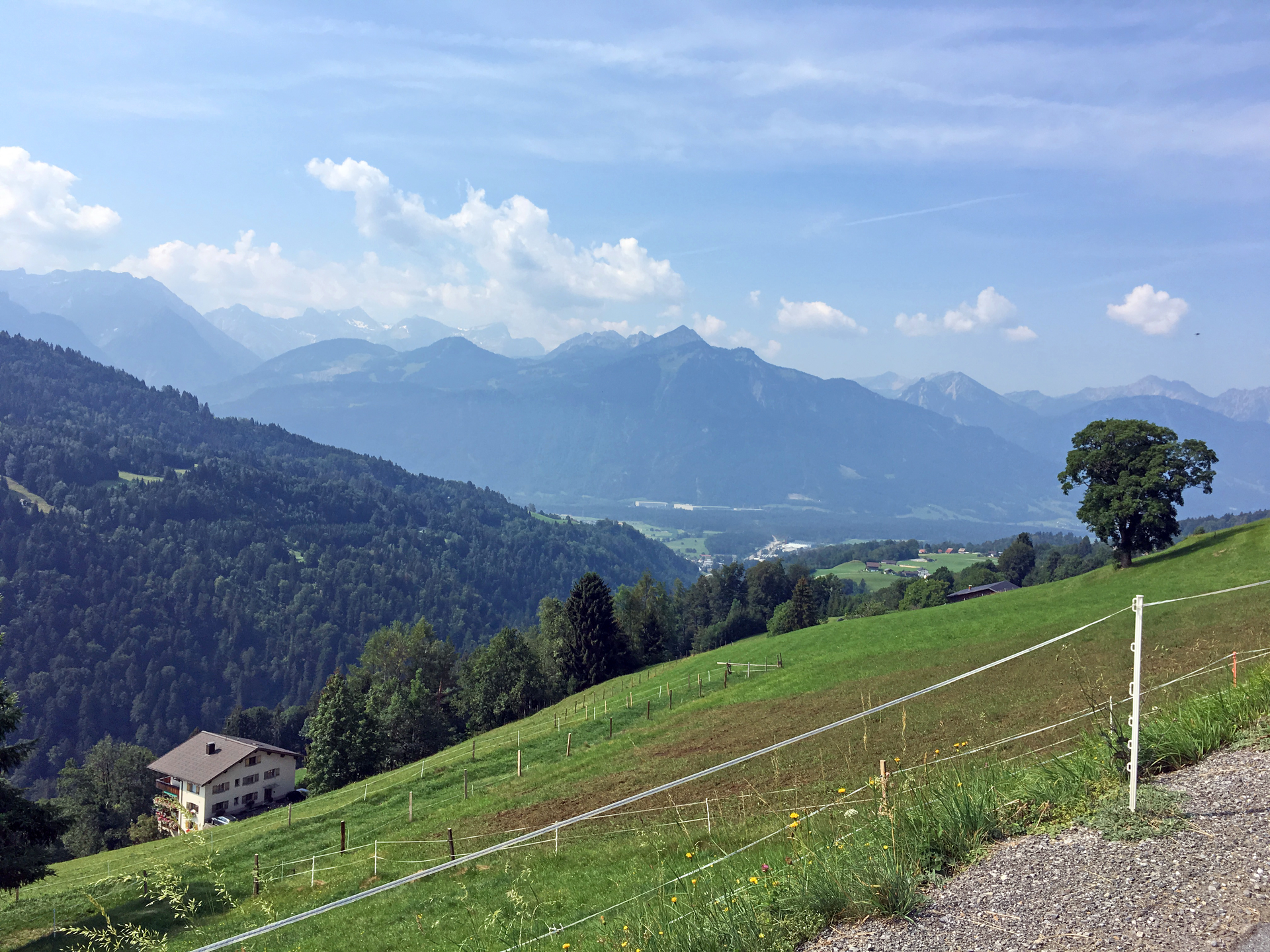
To the Gassner Alpe | St. Gerold
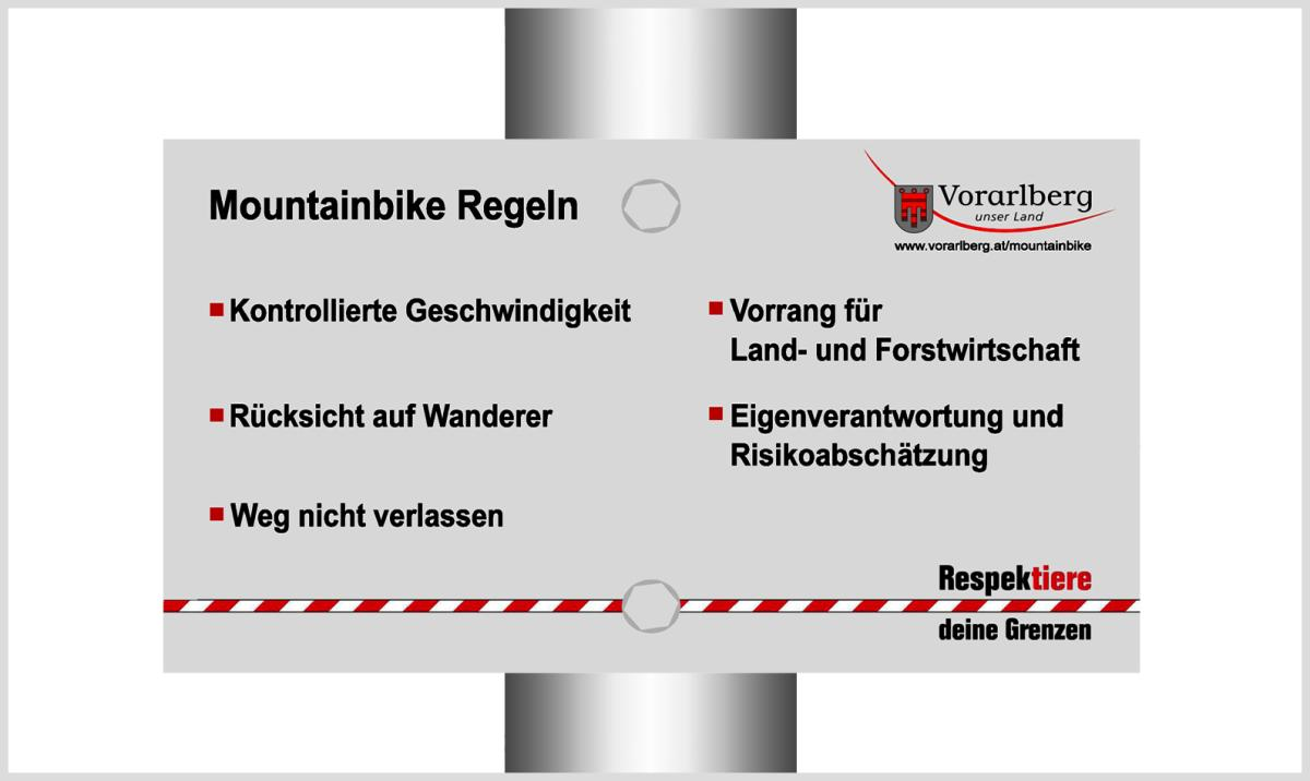
Mountain bike
Scenic MTB tour from St. Gerold up to the Gaßner Alpe below the Walserkamm.


 Archiv Verein Großes Walsertal Tourismus")