Tour description
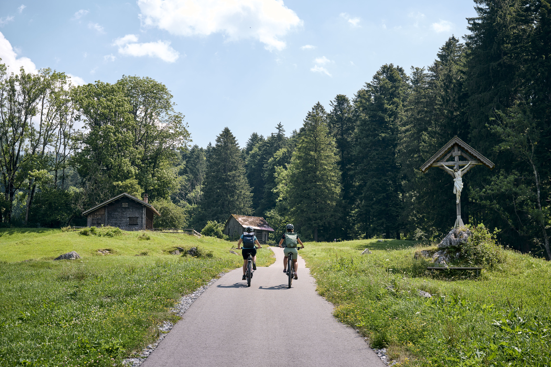
This short panoramic loop can easily be completed in the evening after other activities. It offers wonderful views of the Rätikon and far into the Montafon. At the Montikel, several rest areas tempt you to linger.
From the post office, head uphill towards Spital, choosing the right-hand road here. Keep to the right at the fork - uphill through the beech forest to the rest area at Montikel. Take a short detour to the lookout point at the cliff edge - then continue steeply uphill to the left - after about 600 m turn right (east) along the slope. From Rungeliner Berg it goes rather flat and partly downhill. From Platzalma again uphill. At Lawils turn left - briefly very steep, then more comfortable. From the highest point downhill through the forest towards Rungelin. After the church of Rungelin turn right and over the slag heap, past the Val Blu leisure pool, back to the starting point. Tour can of course also be driven in the opposite direction!