Montafon cycle path | Montafon
Bicycle rides
· Bludenz
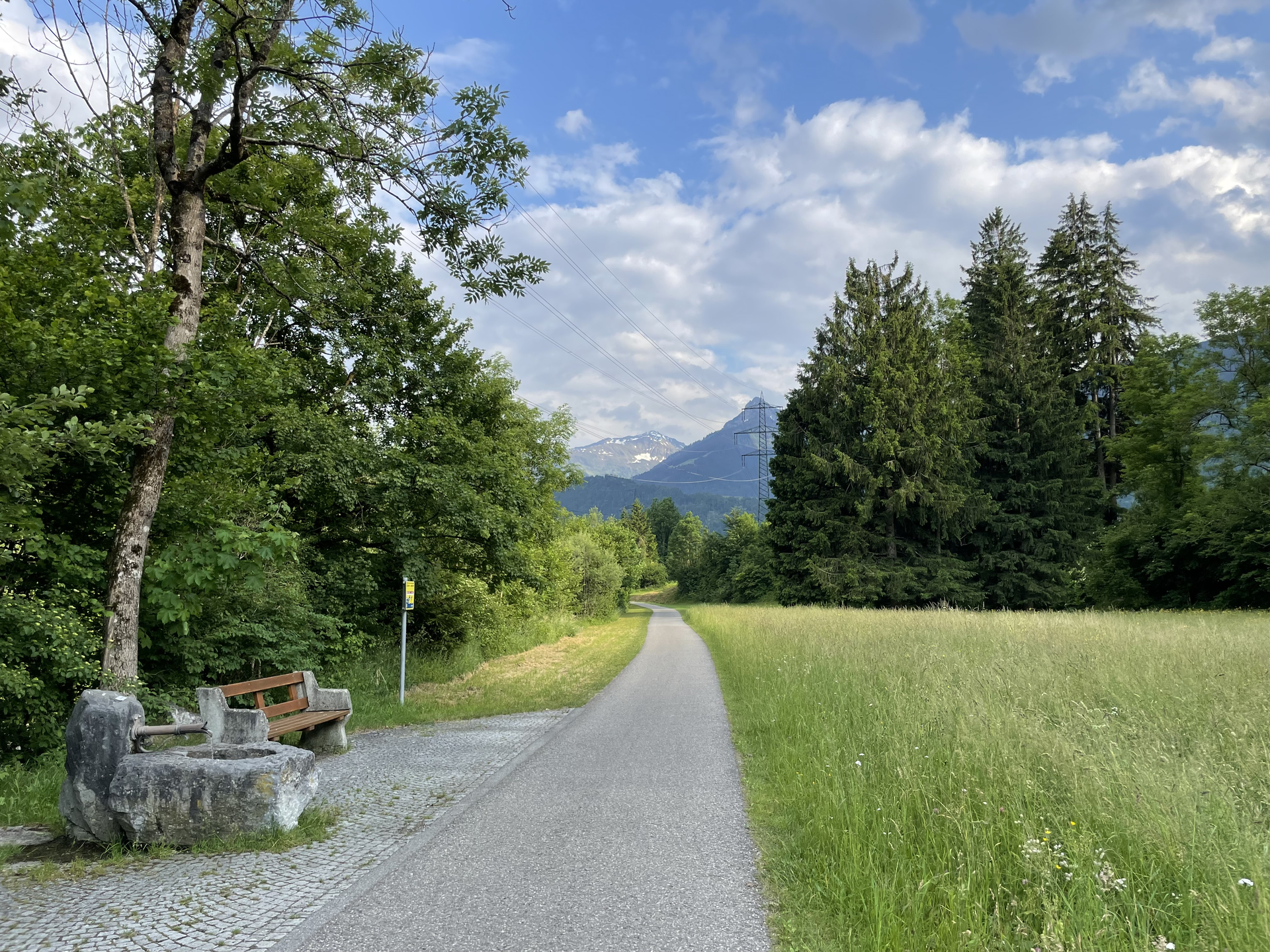
Leisurely cycle tour from Bludenz, always along the Ill, into the Montafon.