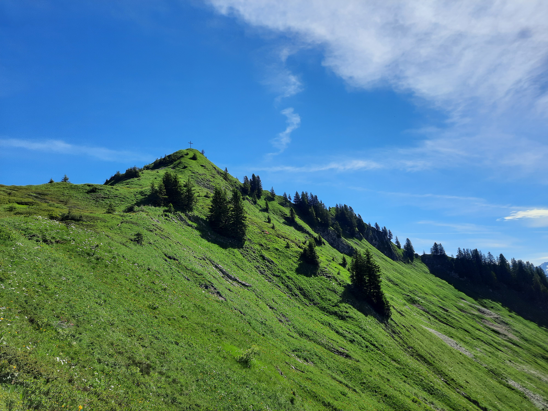
Löffelspitze, 1.962 m | Blons - St. Gerold

Distance21,6 km

Elevation gain1190 m

Negative altitude1180 m

LevelModerate

Duration7:30 h

Distance21,6 km

Elevation gain1190 m

LevelModerate

Duration7:30 h

A short moment

Loading map...

Löffelspitze, 1.962 m | Blons - St. Gerold

From Blons, the trail leads partly along a footpath and partly along the road up to Oberblons. From here follow the signs towards Sentum Alpe or Löffelspitze - this route takes us via Hüggen Alpe and a footpath to Sentum Alpe. Summit strikers reach the Löffelspitze with an altitude of 1,962 m after a further 300 m and 1 hour's walk. From the Löffelspitze we return to the Sentum Alpe. The leisurely high-altitude trail continues to Plansott Alpe. From Plansott, the route goes back down to St. Gerold, partly on footpaths and partly on the road. From St. Gerold you can return to the starting point with the bus line 570.

Equipment

Ankle-high hiking boots with treaded soles, sun and rain protection, snack, filled water bottle, first aid kit and hiking poles are recommended. Mobile phone in case of emergency.

Route description

Start: Blons

End: St. Gerold

Blons - Oberblons - Hüggen - Sentum Alpe - Löffelspitze, 1,962 m - Sentum Alpe - high-altitude trail to Plansott Alpe - St. Gerold - back to Blons by bus

Properties

  • Scenic
  • Summit route
  • Linear route

Emergency services

140 Alpine Emergencies throughout Austria

144 Alpine Emergencies Vorarlberg

112 Euro emergency call (works with any mobile phone/network)