Tour description
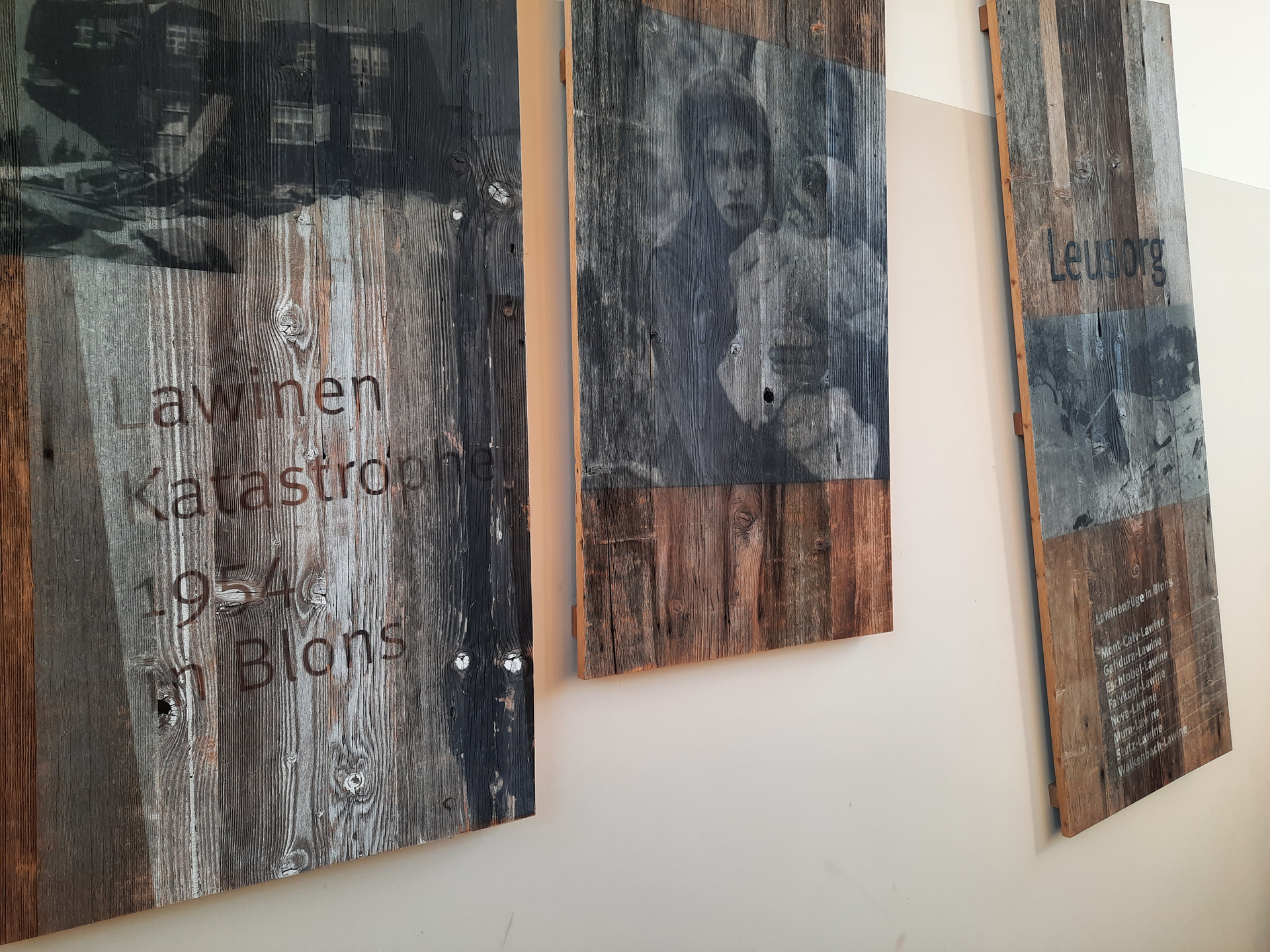
Three memorial paths (Leusorg, Schutzwald, Verbauungsweg) and the avalanche documentation in Hüggen and in the Blons community centre commemorate the avalanche disaster in January 1954 and document the reconstruction and protective measures that were taken. At the starting point there is a deeper insight into the history, but if you really want to learn something about avalanches, you should hire a guide or take part in a guided hike. At the community centre you can also get the information brochure on the avalanche disaster. This contains a detailed map of the trail including information on the individual stations along the way.
Starting point for all three trails: Avalanche Documentation Centre in the Community Centre, Blons.
Leusorgweg: 6 km, approx. 2 - 3 hours, 290 metres altitude difference
This trail leads along the rebuilt farms to the avalanche memorial at the cemetery. In 1954, the biggest avalanche catastrophe in the valley occurred. Blons was severely affected by the avalanches. A lot has happened in the village in recent years. In addition to many new houses with great architecture - starting with the community centre and the avalanche documentation centre inside - you will learn how the village has developed since the 1954 disaster. You walk along the road to Oberblons. In Oberblons you first pass the Eschtobel, cross a large meadow and then arrive at the photovoltaic plant. The path now leads through the plant and leads into a forest path. Follow this downhill until you reach a road again. From there, take the road back to Blons. Two information boards along the path remind you of the avalanche catastrophe of that time.
Schutzwaldweg: 4 km, approx. 2 1/2 hours, 250 metres altitude difference.
Shows how and where reforestation was carried out to protect against further avalanches.
Verbauungsweg: 3.5 - 4 km (depending on the route), approx. 2 1/2 hours, 250 metres altitude difference.
Leads to the places where the catastrophe of that time was triggered and shows mechanical structures such as snow bridges and sliding snow blocks.