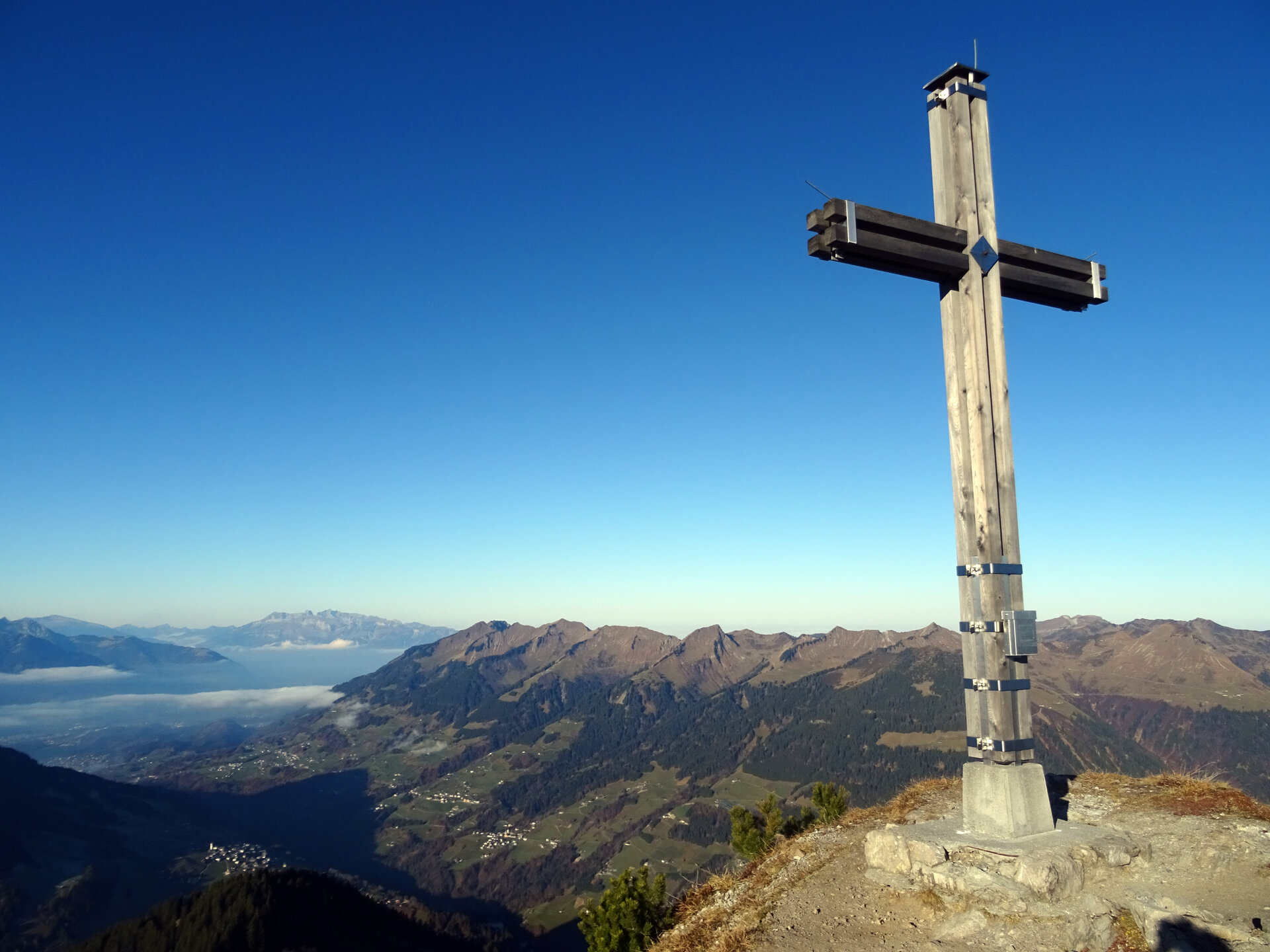
Kellaspitze, 2.017 m | Raggal-Marul

Distance9,6 km

Elevation gain1058 m

Negative altitude1058 m

LevelDifficult

Duration5:30 h

Distance9,6 km

Elevation gain1058 m

LevelDifficult

Duration5:30 h

A short moment

Loading map...

Kellaspitze, 2.017 m | Raggal-Marul

The mountain tour starts at the hikers' car park in Marul. From there, the trail first leads along the road and then follows the hiking trail towards Stafelfeder Alpe. At the Stafelfelder Alpe, the trail branches off in the direction of Kellaspitze. At the crossing to Alpe Steris, take the turnoff towards Kellaspitze. From here, the trail becomes somewhat more difficult - partly with exposed and rope-secured sections. Surefootedness and a head for heights are absolutely necessary here. The path leads up to the summit of the Kellaspitze. Once at the top, you can enjoy a fabulous view over the Grosse Walsertal, the Walgau and the surrounding mountain peaks. The way back to Marul is via the ascent path.

Equipment

Sturdy shoes, warm clothing, rain and sun protection and walking sticks are recommended. Mobile phone in case of emergency.

Route description

Start: Hikers' car park Marul, Raggal

End: Hikers' car park Marul, Raggal

Hikers' car park Marul, Raggal - road towards Alpe Steris - hiking trail - turn off Stafelfeder Alpe - Stafelfeder Alpe - crossing towards Alpe Steris - keep to the right towards Kellaspitze - Kellaspitze - same route back.

Properties

  • Scenic
  • Summit route
  • Out and back
  • Exposed sections
  • Secured passages

Emergency services

140 Alpine Emergencies throughout Austria

144 Alpine Emergencies Vorarlberg

112 Euro emergency call (works with any mobile phone/network)