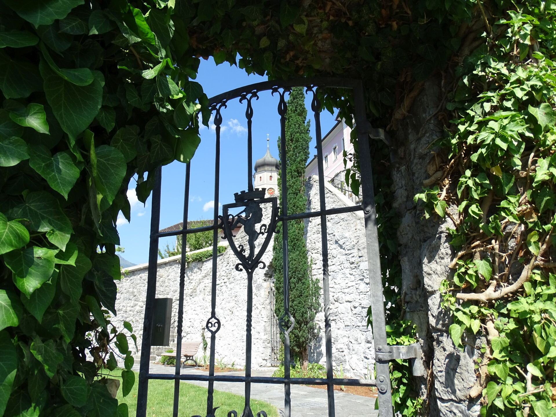
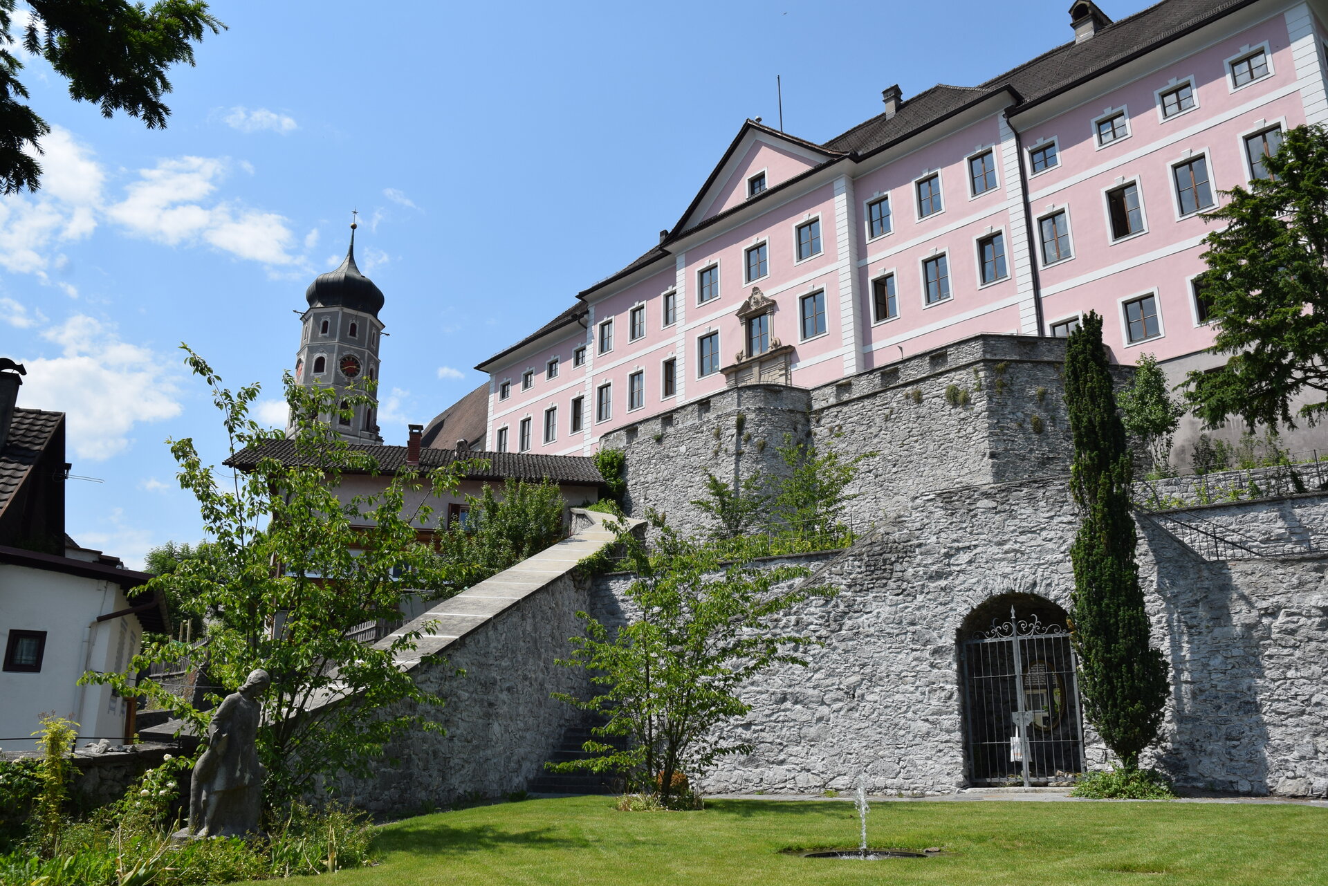
Historic Old Town Walk ​|​ Bludenz

Easy
Refreshments
Panoramic
Stroller-friendly
Cultural / Historical
Round trip
Urban walk

Historical thematic panels inform about the eventful history of the city.

01:30 h duration
1,09 km Length
589 m Highest point
561 m Lowest point
28 m Ascent
12 m Descent
Condition
Difficulty
Result
Landscape
Public transport

Various bus and train connections to Bludenz, stop "Bahnhof" or "Postplatz".

Timetable enquiry online at www.vmobil.at

Parking

Various parking spaces in Bludenz (fee required).

Directions

Postplatz - Josef-Wolf-Platz - Sturnengasse - Mühlgasse - Unteres Tor - Wichnerstraße - Werdenbergerstraße - Nepomukbrunnen - Rathausgasse - Kirchgasse - Oberes Tor - covered church stairs up to St. Laurentiuskirche/Schloss Gayenhofen or alternatively Oberes Tor - Mutterstraße - Spitalgasse - St. Laurentiuskirche/Schloss Gayenhofen - renovated castle garden - via one of the stairs back to the old town

Safety instructions

EMERGENCY CALL

140 Alpine emergencies Austria-wide

144 Alpine emergencies Vorarlberg

112 Euro-emergency call (works with any mobile phone/network)

www.alpenregion-vorarlberg.com/sicherheitstipps-wandern

Equipment

No special equipment required.

Tips

You can get a detailed plan of the Old Town Tour at the Tourist Office in Bludenz, Rathausgasse 5. Under the following link you will also find dates and suggestions for a guided tour of Bludenz: www.bludenz.travel/fuehrungen

Destination

St. Laurentius Church, Bludenz

Starting Point

Josef-Wolf-Platz, Bludenz

Safety in the mountains

EN NOTRUF:

EN 140 - Alpine Notfälle österreichweit 

EN 144 - Alpine Notfälle Vorarlberg 

EN 112 - Euro-Notruf (funktioniert mit jedem Handy/Netz) 

Characteristics
Tour type Urban walk
Difficulty Easy
Start Bushaltestelle - Post Kreuzung
Finish St. Laurentius church
Elevation profile
Best time of year
Jan
Feb
Mar
Apr
May
Jun
Jul
Aug
Sep
Oct
Nov
Dec