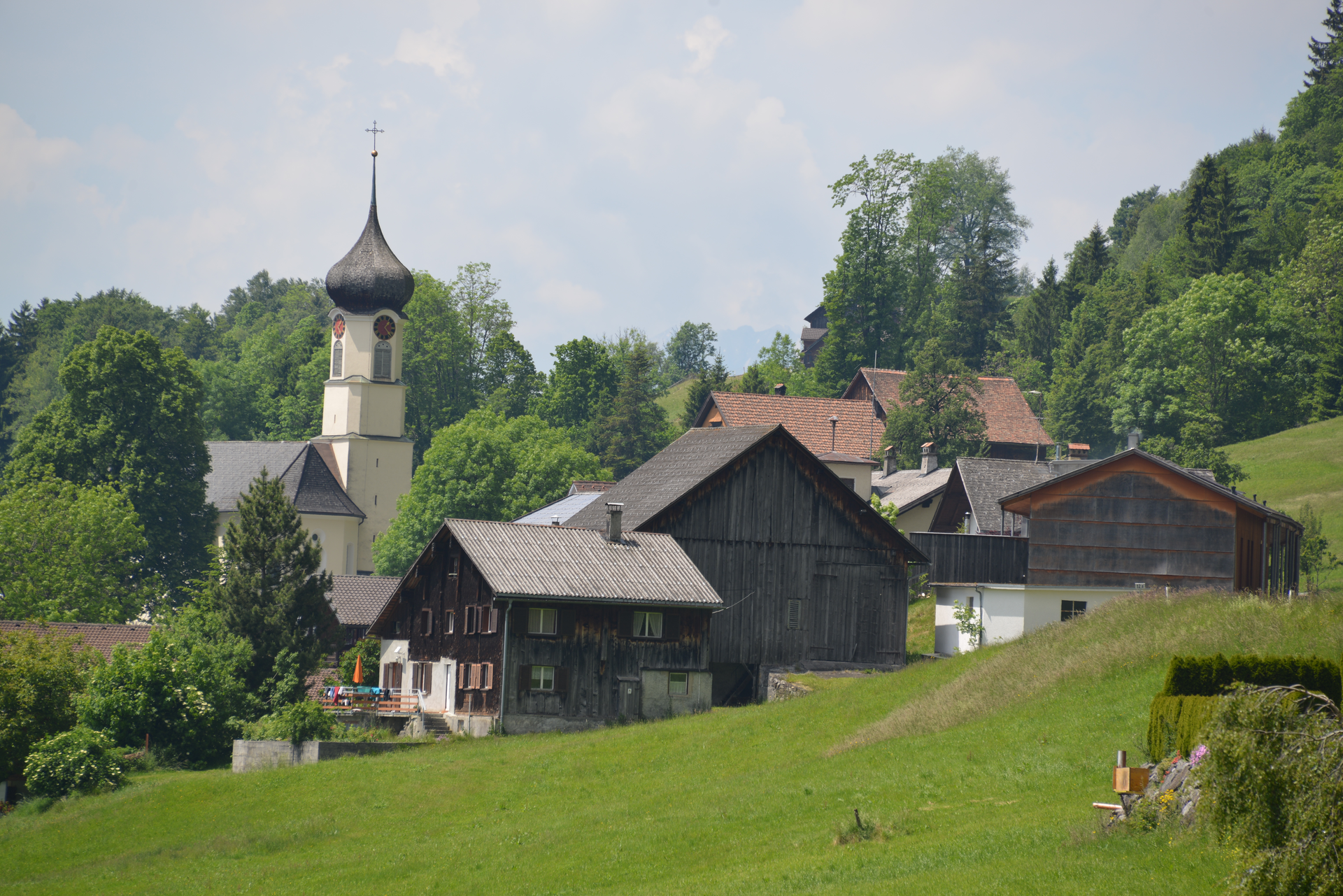
Gampelin Alpe - Schnifis | Thüringerberg
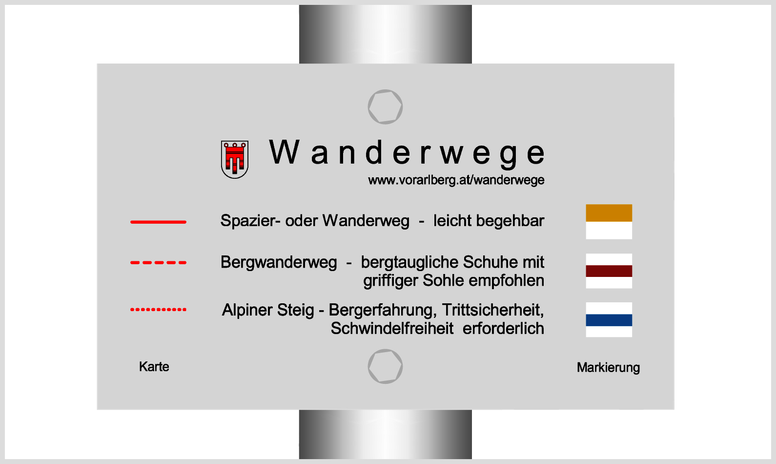
Hiking trail
Discover the natural landscape from Thüringerberg to Schnifis.