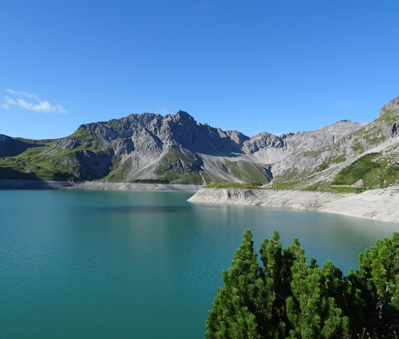
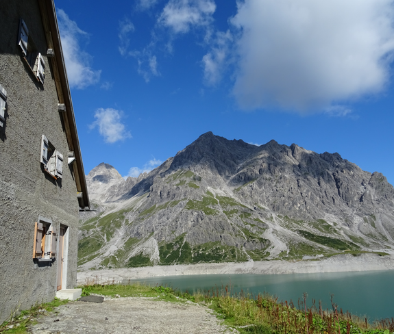
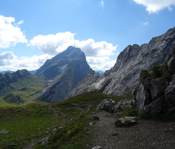
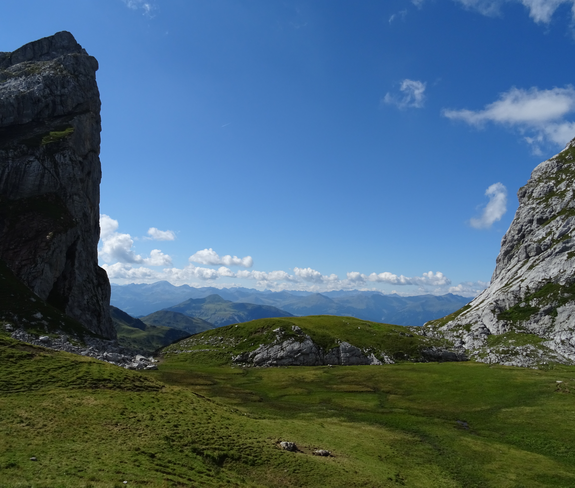
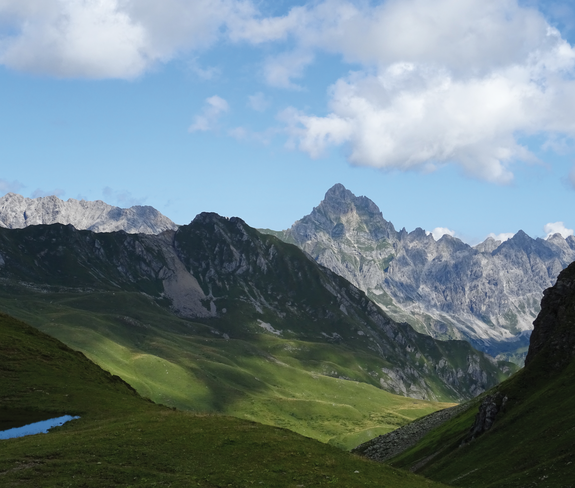
From the Lünersee to the Lindauer Hütte | Brand - Latschau/Tschagguns
Distance22,9 km
Elevation gain1412 m
Negative altitude1478 m
LevelModerate
Duration8:45 h
Distance22,9 km
Elevation gain1412 m
LevelModerate
Duration8:45 h
A short moment
Loading map...
From the mountain station of the Lünerseebahn directly at the Douglass Hut the hike starts along the Lünersee-Rundwanderweg (to the right) to the Lünersee Alp. From the Lünersee Alp slightly uphill and then left towards Verajöchle. Ascent to Verajöchle and then descent to the Schweizer Tor. At the Schweizer Tor a further ascent leads up to the Öfapass and from there the path leads downhill to the Lindauer Hut. Out of the valley on a good path over the Untere Spora Alp through the Gauertal to Latschau. From there bus (line 1) to Schruns - Montafonerbahn to Bludenz - bus (line 81) back to Brand or with the Golmerbahn from Latschau to Vandans and from Vandans with bus and train back to Brand.
Start: Innertal, Brand
End: Latschau, Tschagguns or Vandans
Innertal - valley station Lünersee cable way - Böser Tritt or alternatively ascent with Lünersee cable way - mountain station Lünersee cable way - Lünersee Alp - Verajöchle - Schweizer Tor - Öfapass - Lindauer Hut - Untere Spora Alp - Gauertal - Latschau140 Alpine Emergencies throughout Austria
144 Alpine Emergencies Vorarlberg
112 Euro emergency call (works with any mobile phone/network)