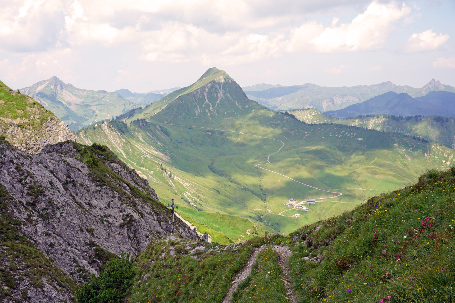
Faschina - Hochschere Fürkele - Buchboden | Faschina & Buchboden
Mountain Hike
The mountain tour over the Hochschere Fürkele and the Hochschere Weg is one of the most challenging mountain tours in the Großes Walsertal and offers fabulous views.