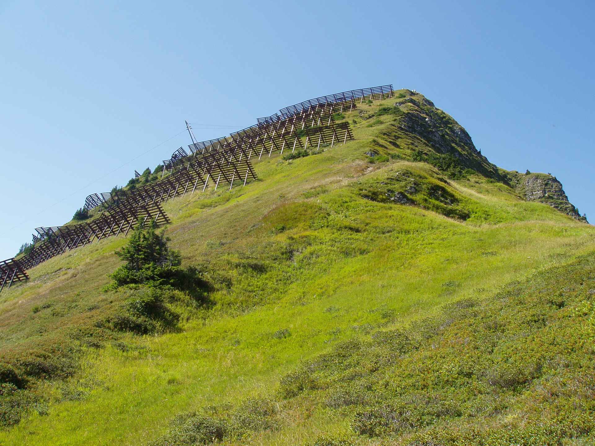
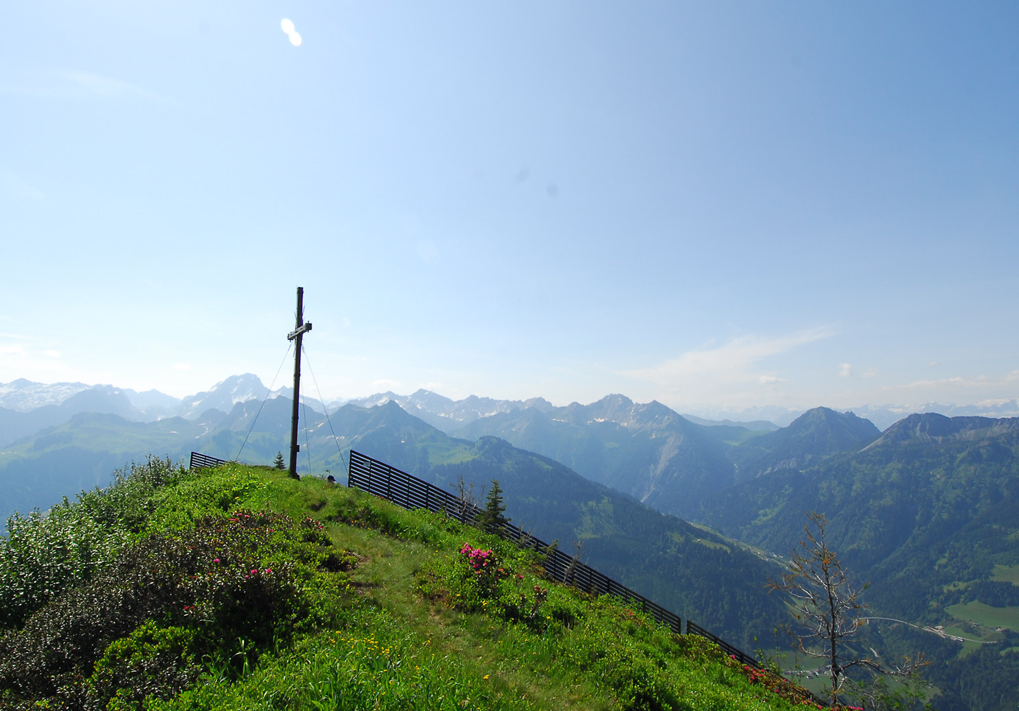
Falvkopf, 1.849 m | Blons

Distance12,1 km

Elevation gain973 m

Negative altitude958 m

LevelDifficult

Duration5:00 h

Distance12,1 km

Elevation gain973 m

LevelDifficult

Duration5:00 h

A short moment

Loading map...

Falvkopf, 1.849 m | Blons

From the center of Blons, the hiking trail leads to Oberblons and from there further up to Hüggenalpe. From here it is not far to the summit of the Falvkopf at 1,849 m above sea level. The first part of the way back goes along the Falvkopf circular path before you return to Blons via the same path. Alternatively, you can also hike back to Blons via Valentschina.

Author's recommendation

On the way to the Falvkopf you are on the avalanche paths Blons - memorial paths to the avalanche disaster of 1954. From the village to Oberblons on the Leusorgweg, continue on the Schutzwaldweg and from Hüggen to the summit on the Verbauungsweg.

Equipment

Ankle-high mountain boots with tread sole, sun and rain protection, snack, filled water bottle and first aid kit. Cell phone for emergencies.

Route description

Start: Community center, Blons

End: Community center, Blons

Blons - Oberblons - Hüggenalpe - Falvkopf - Same way back or alternatively via Valentschina - Blons

Properties

  • Scenic
  • Summit route
  • Circular route
  • Cultural/historical interest

Emergency services

140 Alpine Emergencies throughout Austria

144 Alpine Emergencies Vorarlberg

112 Euro emergency call (works with any mobile phone/network)