Around the Zafernhorn | Fontanella-Faschina
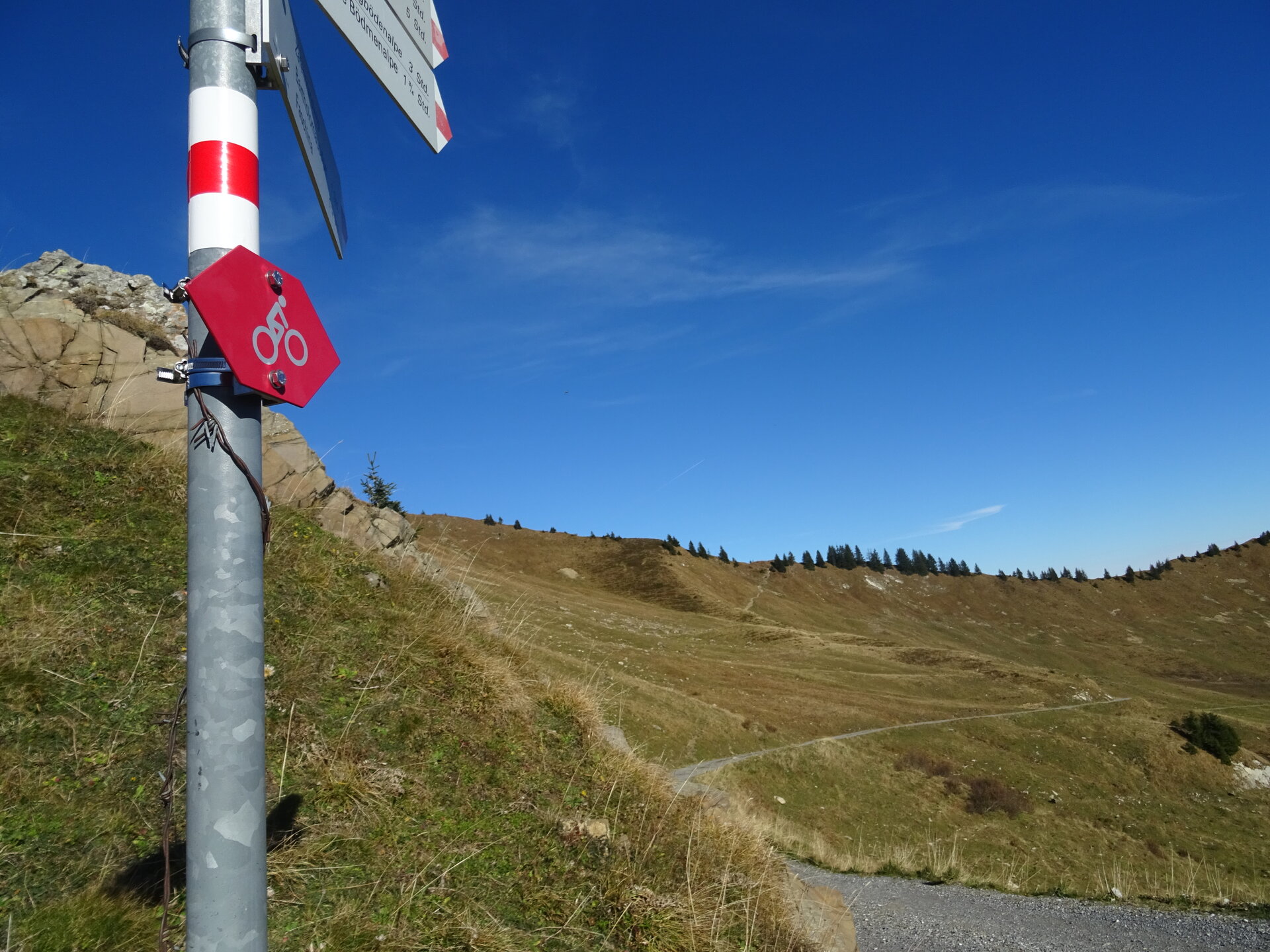
Mountain bike
Very beautiful and challenging MTB tour with single trail passages around the Zafernhorn in Fontanella-Faschina.


