Along the Walserkamm | Blons - St. Gerold
Hiking trail
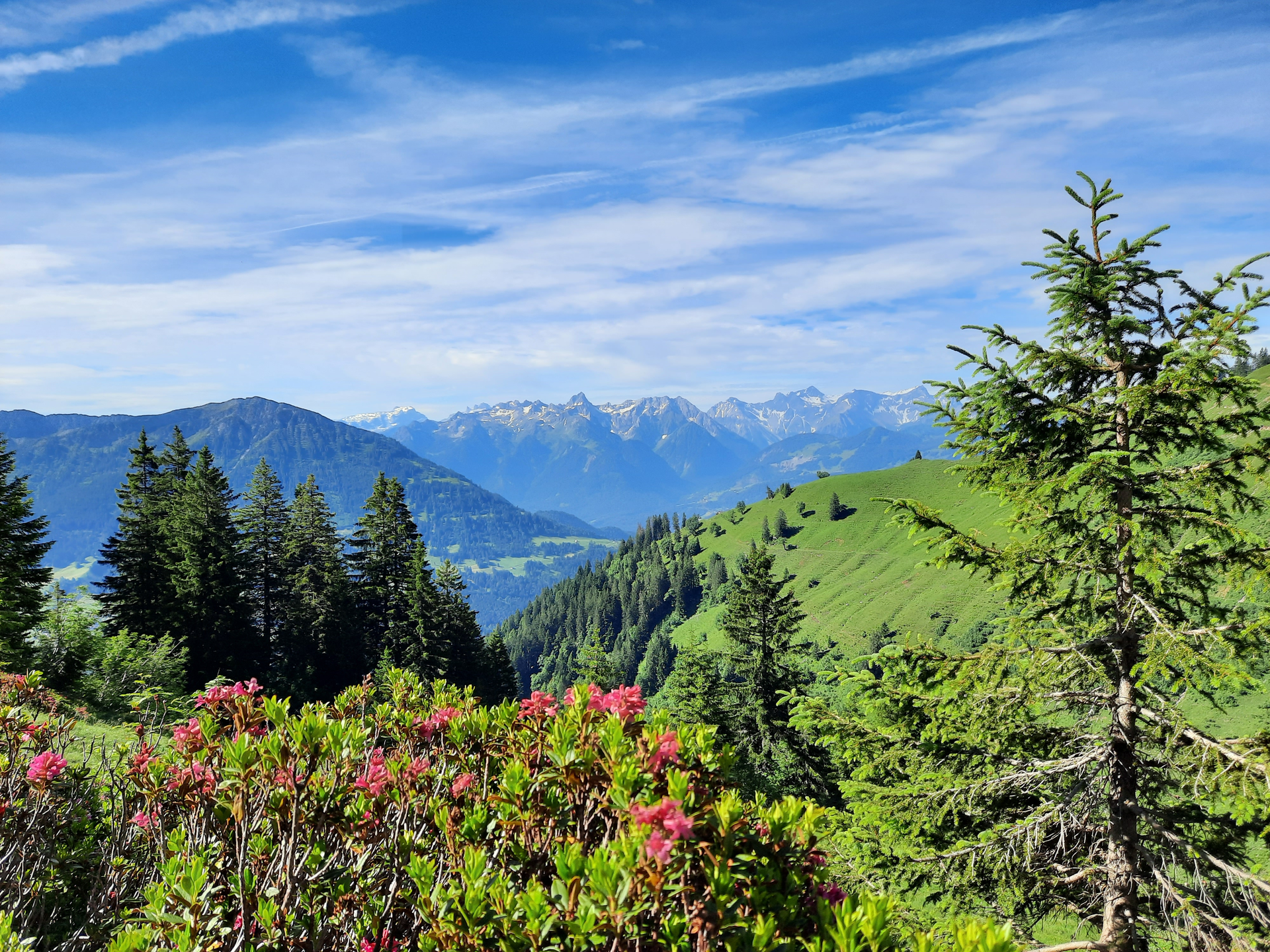
Very beautiful hike from alp to alp on the Walser ridge for enduring hikers.