2-Alps-Tour | St. Gerold
Mountain bike
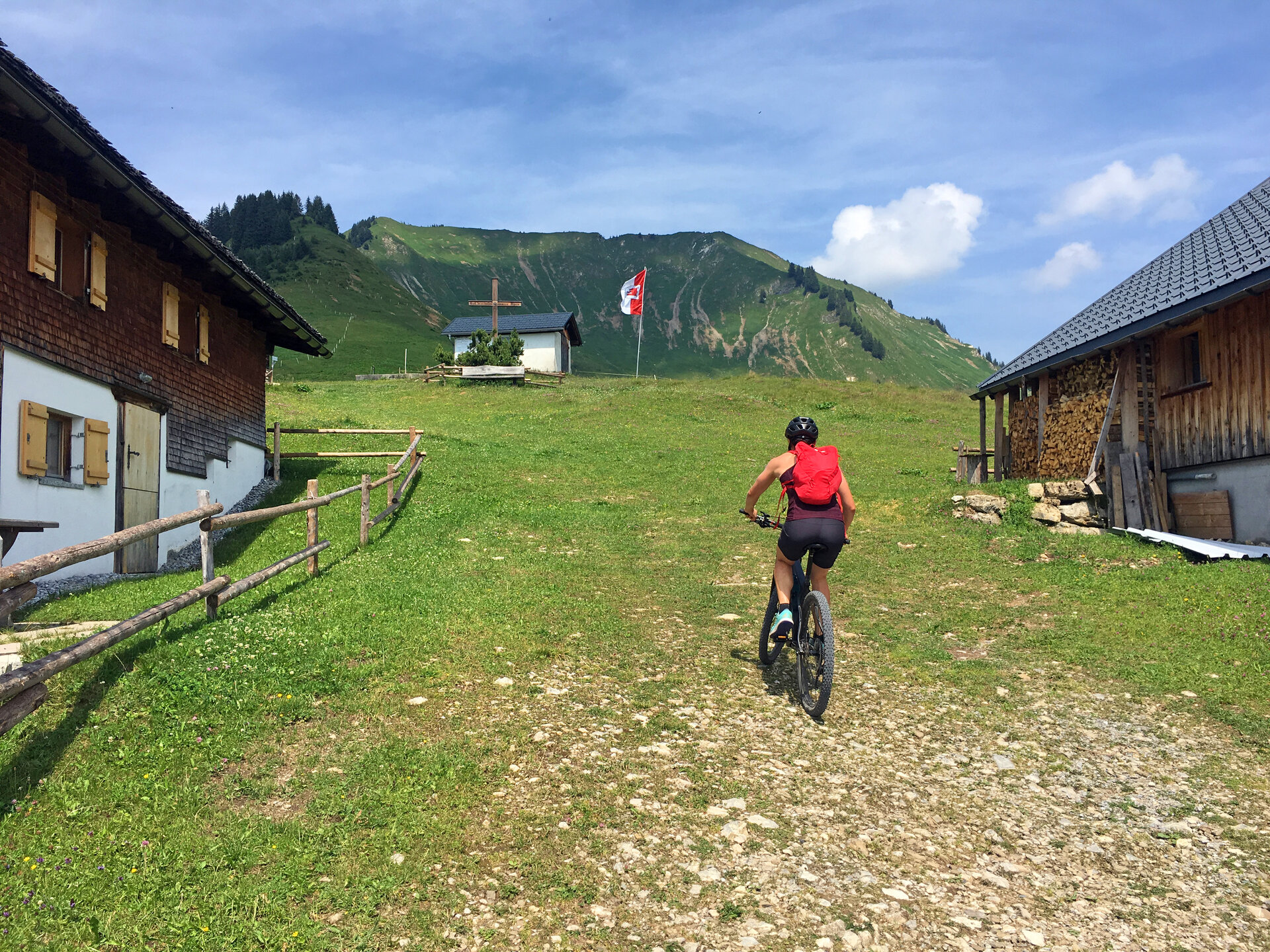
Panoramic mountain bike tour past the Gaßner Alpe and the Plansott Alpe in the Großes Walsertal Biosphere Reserve.


